-
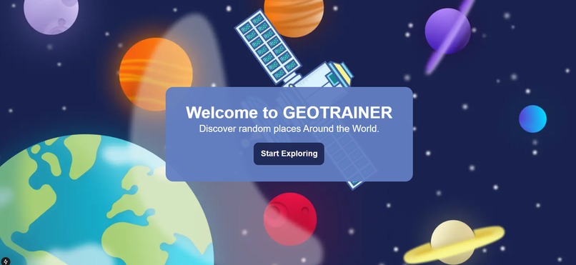
Preview of GeoTrainer
-
Preview of GeoTrainer
-
Preview of GeoTrainer


🌍 Inspiration
GeoGuessr, a geography game, challenges players to identify Google Street locations using visual clues, but they often rely on prior knowledge rather than deep learning insight. We noticed a lack of resources online to help beginner players, so we built GeoTrainer—an AI-powered geography game that not only tests players' knowledge but also explains why an image belongs to a specific country.
🔍 What it does
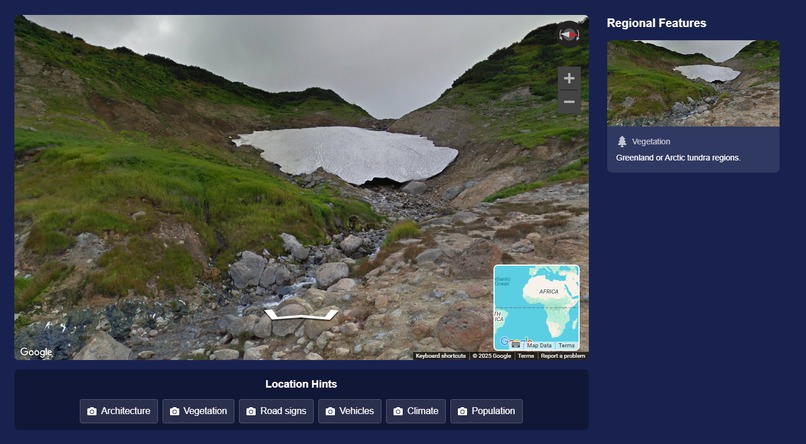
Players analyze Google Street View images and guess the country. Our AI provides feedback based on:
- Road signs, languages, and text
- Architecture and infrastructure
- Vegetation, terrain, and climate
- Street markings and traffic patterns
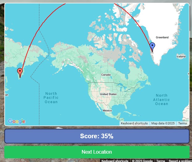
Unlike the existing GeoGuessr game, GeoTrainer teaches players how to improve over time through AI-driven explanations.
🛠️ How we built it
- Node.js server handles requests and processes data.
- Python Flask server sends images to OpenAI’s API for analysis.
- OpenAI API extracts meaningful location-based hints from images.
- Figma UI → React & CSS for a seamless and intuitive front-end experience.
🚧 Challenges we ran into
- Matching GeoGuessr’s UI to replicate a familiar player experience.
- Parsing AI-generated responses into relevant and understandable hints.
- Making the game intuitive and accessible for both GeoGuessr veterans & new players.
🎉 Accomplishments that we're proud of
- Effective UI/UX throughout the prototype.
- Real-time AI feedback makes geographic learning more engaging.
🔮 What's next for GeoTrainer
- Multiplayer challenges—compete with friends in realtime using WebSockets!
- Multimedia hints like native language enunciation
Built With
- css
- figma
- flask
- google-maps
- html
- nextjs
- openai
- python
- react.js
- ux/ui

Log in or sign up for Devpost to join the conversation.