-
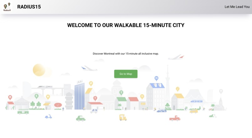
Landing Page
-
Map page showing services around the inserted address
-
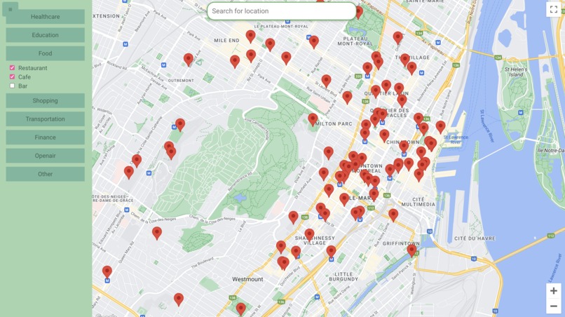
Service Points depending on filters
-
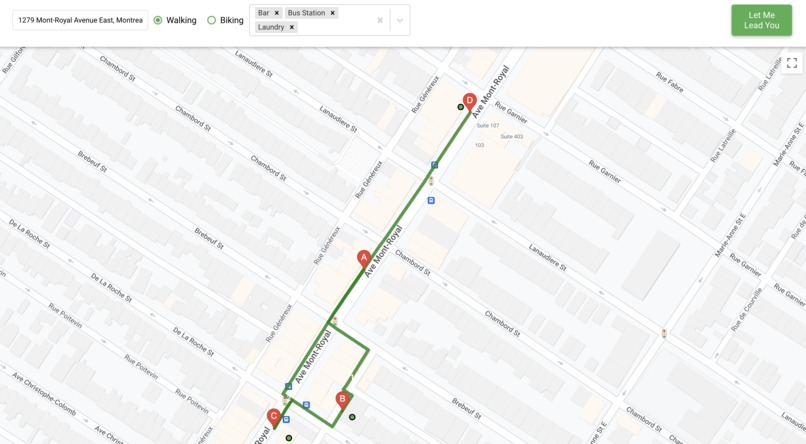
The walking path (15 min MAX)
-
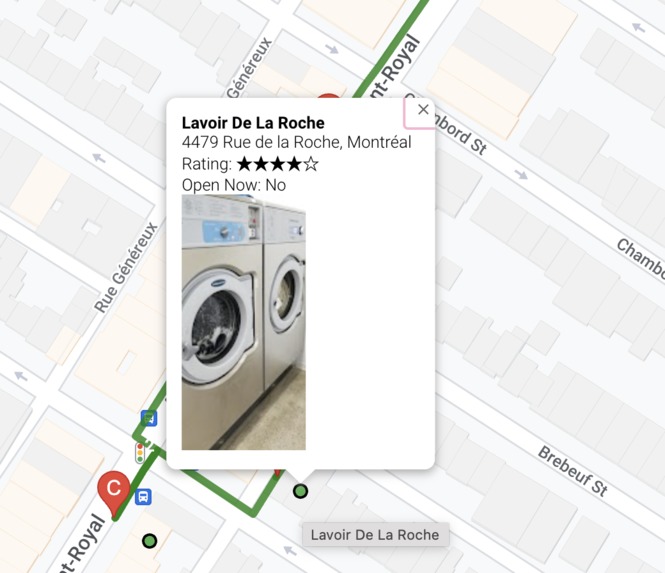
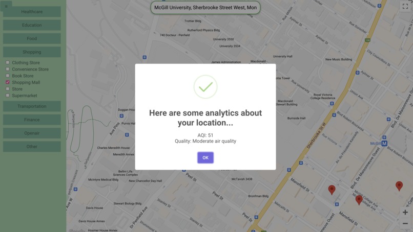
Details about the chosen service point
-
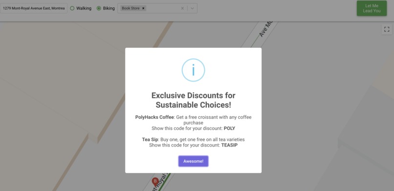
Exclusive discounts


Inspiration
This website embraces the core values of sustainability—caring for our environment, creating economic opportunities for all, and fostering inclusive communities by making cities healthier and encouraging residents to embrace a greener lifestyle. Inspired by the vision of a 15-minute city, we aspired to create a tool that enhances community bonds and ensures that the benefits of sustainable living are accessible to everyone. This project is our contribution to a global movement towards more livable, equitable urban spaces. We launched this application with the hope of simplifying sustainable choices for all, making it easier for individuals to connect with their communities, discover local resources, and contribute to a healthier, more vibrant city.
What it does
Our website uses the Google Maps API to instantly provide users with a personalized map of their surrounding area, highlighting places they can reach within a 15-minute walk or bike ride. This includes cafes, parks, grocery stores, schools, and more. By entering their current location, users can plan their day more efficiently, explore new spots, and choose walking or biking over driving. This not only supports physical health and well-being but also promotes environmental sustainability by reducing carbon emissions.
How we built it
Splitting the task into frontend development and API integration and rendering, we worked in parallel to make our React app correctly fetch and render the data we were getting from the Google Maps and Google Places API.
Challenges we ran into
One of the main challenges was accurately calculating walking and biking distances in diverse urban landscapes. Ensuring the website's interface was user-friendly and accessible to all, regardless of tech-savviness, also posed a challenge. Additionally, calling the Google map API for the first time and making sure that the data is successfully synchronized with the filters selected.
Accomplishments that we're proud of
We're particularly proud of creating a tool that directly contributes to enhancing urban livability and environmental sustainability. Successfully integrating the Google Maps API to provide accurate, real-time data on walking and biking distances was a significant technical achievement. Our team's ability to overcome technical challenges and deliver a product that can make a real difference in people's daily lives is something we take great pride in.
What we learned
Throughout this project, we learned a great deal about the complexities of urban environments and the potential of technology to address social and environmental challenges. We gained valuable experience in working with APIs, handling real-time data, and designing intuitive user interfaces. The project also deepened our understanding of the importance of user feedback in the iterative design process, teaching us the value of continuously refining our product based on real-world use.
What's next for Radius15
Looking ahead, we plan to incorporate more features that will enrich the user experience. This includes integrating local weather forecasts to suggest the best times for walking or biking and offering personalized recommendations based on user preferences and habits. We also aim to expand our database to include more cities and rural areas, making our tool accessible to a wider audience. Collaborating with city planners and local businesses to promote the 15-minute city concept more broadly is also on our agenda.


Log in or sign up for Devpost to join the conversation.