-
-
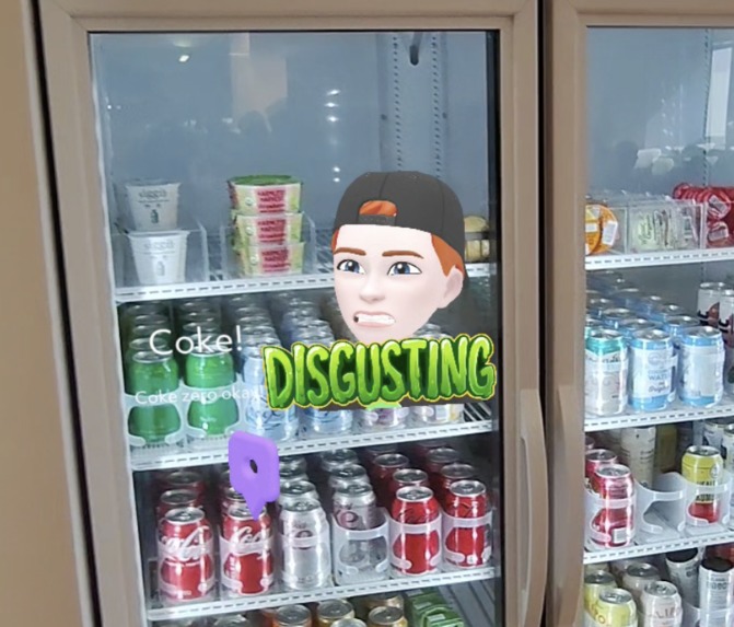
Fridge
-
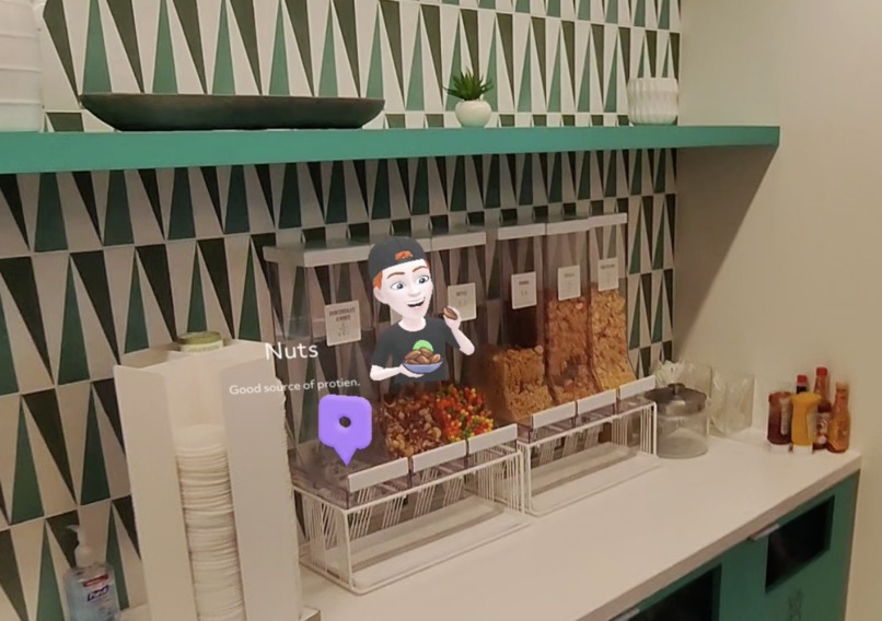
Cereal
-
Adding point
-
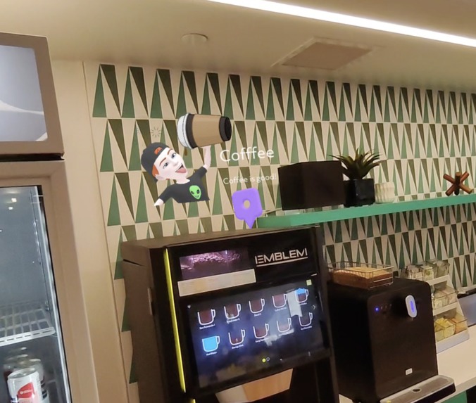
Coffee
-
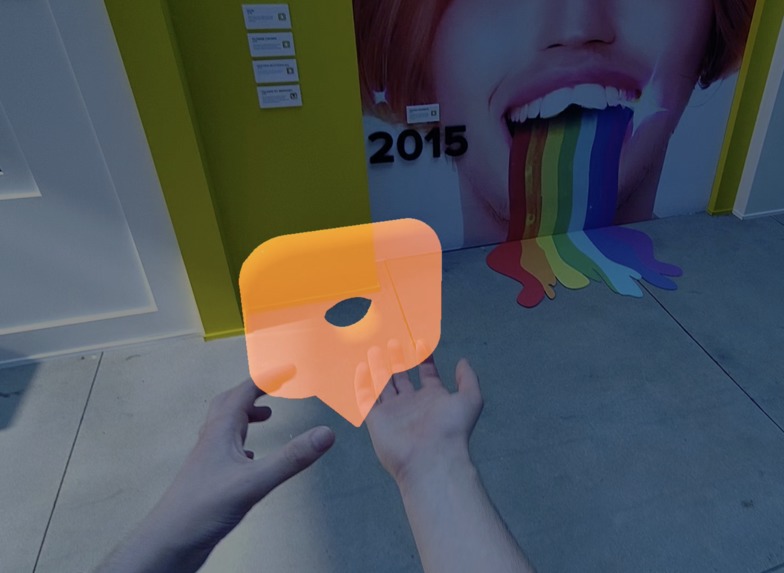
Hand
-
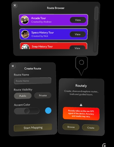
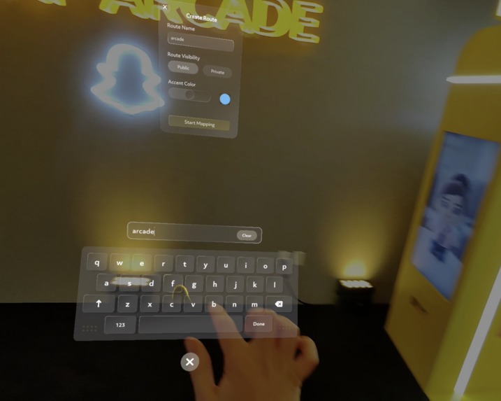
UI
-
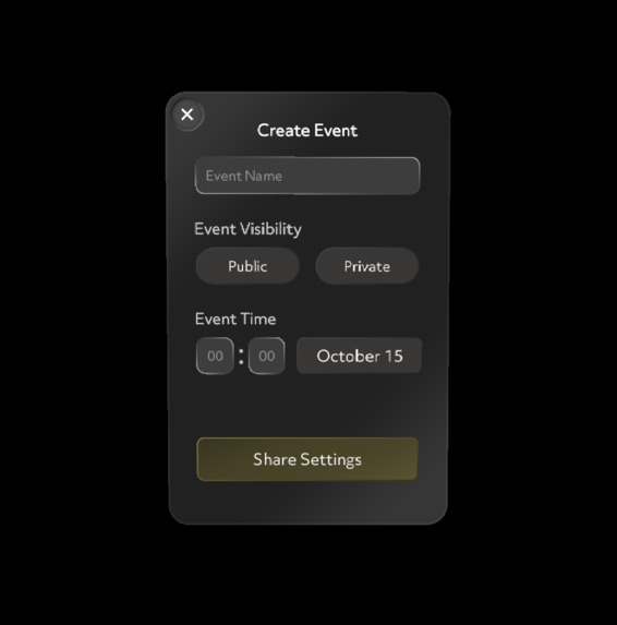
Potential Event UI


Inspiration
We wanted to make an experience that makes sharing how you see the world easy. Ever wanted to make your own trail and share it with your friends? Now you can!
What it does
What's the big idea? No matter if it's scenic hiking trails, fun urban walks, or fascinating museum guides, Routely has got you covered.
Routely combines both GPS and compass data alongside a powerful supabase backend to allow you to share routes containing "hot points" with the rest of the world. These hot points can contain information.
You are either in creator mode and you create a map of your route and add waypoints as you see fit. Or you act as a viewer and explore the route made by the creator.
Challenges we ran into
- GPS location not being accurate indoors
- GPS drift
- Storing images in the database
- UX issues
- API issues
Accomplishments that we're proud of
We are proud to have created a lens which works well and allows the user to share their routes with others
What's next for Routely
- Bitmoji integration
- Images support
Technical Side
For this lens we used GPS to understand where the user is in the world. Combining this with the powerful backend of supabase we are able to seamlessly share created waypoints of each user. For UI we made use of the new UI Kit to ensure that this lens looked as at home as possible within Snap OS 2.0.
Built With
- javascript
- supabase
- typescript


Log in or sign up for Devpost to join the conversation.