-
-
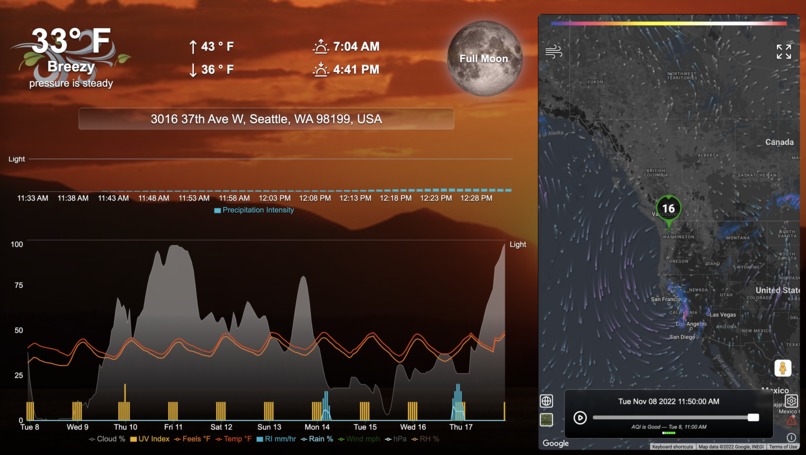
Desktop View
-
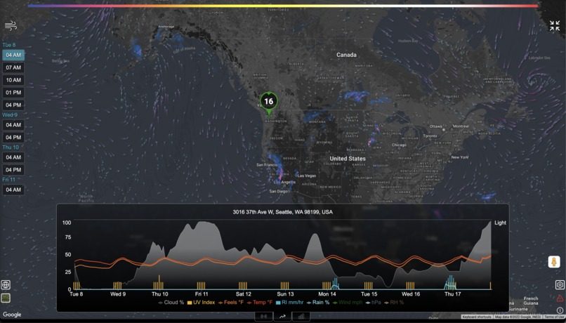
Desktop Expanded Map View


Inspiration
Determine if google maps api can replace existing mapping solution for personal weather application
What it does
Shows weather from Apple's recently released WeatherKit. Also displays radar from RainViewer and wind vectors from a my custom grib API.
How I built it
Google maps api for mapping and geocoding. Remix and Express for server and data. React for frontend framework.
Challenges I ran into and still face
- Responsive layout on mobile phones has issues zooming and changing styles, both result in crashing mobile browser in a catastrophic way and are keeping this solution from fully replacing existing solution.
- Control over custom layer placement. Placing layers below labels for example.
- Inability to control panTo animation and incorporate zooming with panning
Accomplishments that we're proud of
- Map styling, we have a nice dark map contrasting the radar and wind vectors nicely.
- Ease of getting our canvas layer with wind vectors working in OverlayView
What we learned
- Really like using Google maps as I am already using google maps api for geocoding and a custom street view implementation so to be able to use maps over another solution would be a potential performance win.
- The issue of crashing on mobile is killing me from moving forward in that I don't know what is causing the crash so can't design around it without big unknowns. So we need to first investigate and not sure the payoff is worth the investigation.
What's next for wx4me
- Do some investigation - google searching into why the mobile interaction is crashing and the figure out the size of the fix. If small enough, I will be then implementing google maps and replacing our existing solution.
Built With
- apple-weatherkit
- fly.io
- google-geocoding
- google-maps
- google-streetview
- grib-to-json-api
- rainviewer
- react
- remix


Log in or sign up for Devpost to join the conversation.