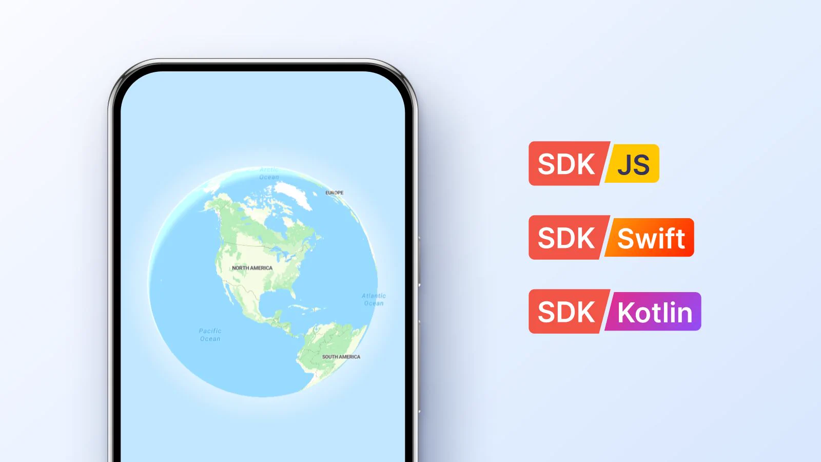
Mobile dev teams spend too much sprint capacity managing map setup.
We built native Swift & Kotlin SDKs to save you time! It’s pre-wired to MapTiler Cloud, so your API key, styles, and search work out of the box.
Why we built our own mobile SDK: buff.ly/iJHMvKt#SDK
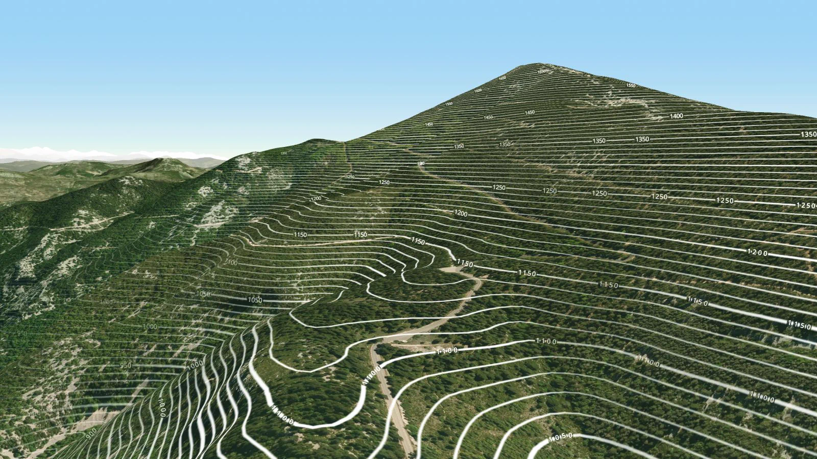
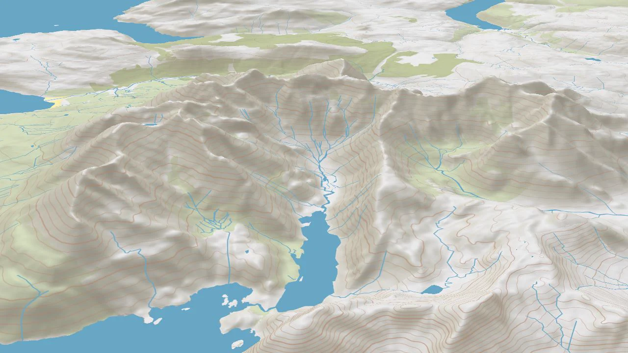
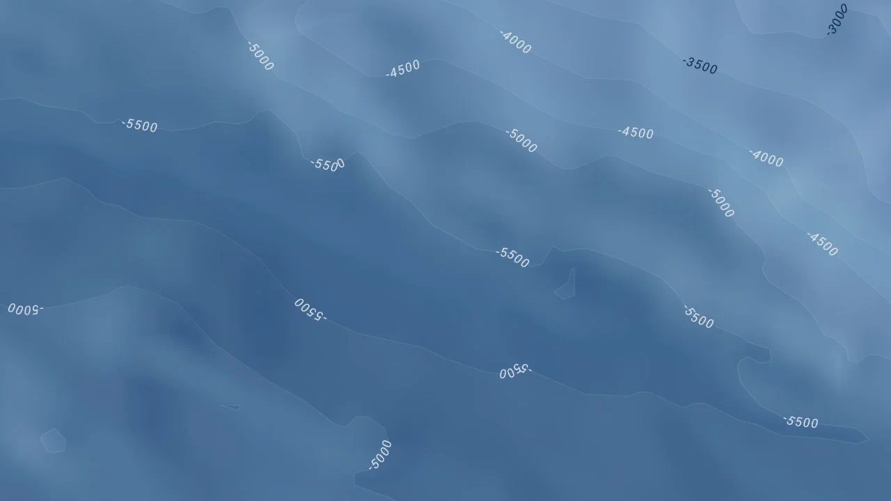
Contour lines are key to understanding the complexity of the three-dimensional world on a 2D map. In our latest post, we cover the fundamentals of reading contour lines and how modern vector tile tools bring terrain to life: buff.ly/3ViY3wM#GIS#Cartography#Topography
Replace 2D map markers with immersive, high-detail previews of iconic destinations.
We captured the Colosseum using #GeoSplats to show how travel & tourism apps can stream photorealistic 3D landmarks directly on real map coordinates.
Create your own GeoSplat. Link in thread ⤵️
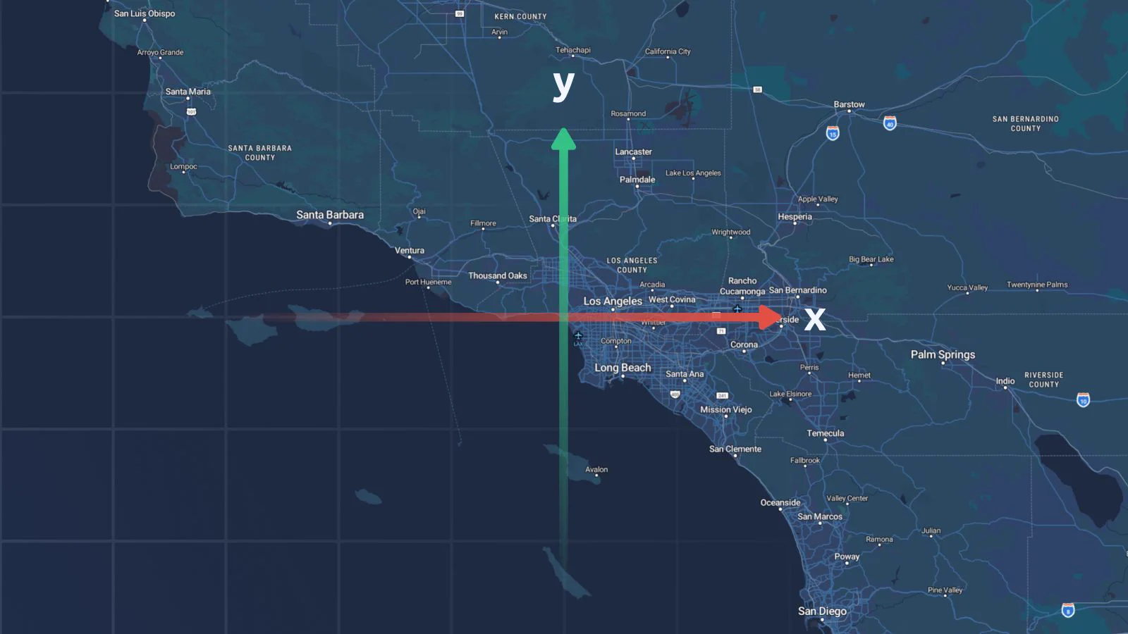
Ever loaded map coordinates that ended up in the middle of the ocean? Flipped axes, wrong units, and missing projections break web maps fast.
Here is how flat X & Y coordinates actually work in #digitalmapping.
Blog link in the first reply.
Engaging customers is a great way to boost your real estate marketing & drive sales. Adding #GeoSplats to your website lets buyers explore properties & their surroundings. Check out the latest developments & what is coming next in the news. Link in the 1st reply
#proptech