-

Get In The Zone Logo (made with looka.com)
-
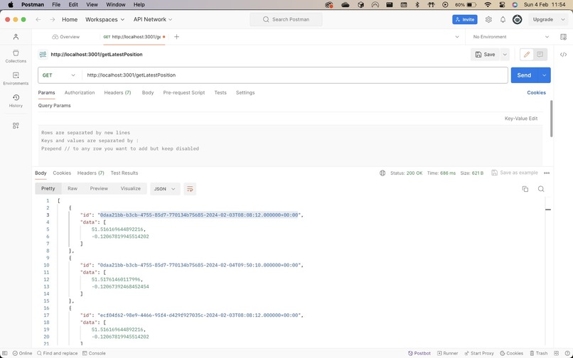
Use of TerraAPI
-
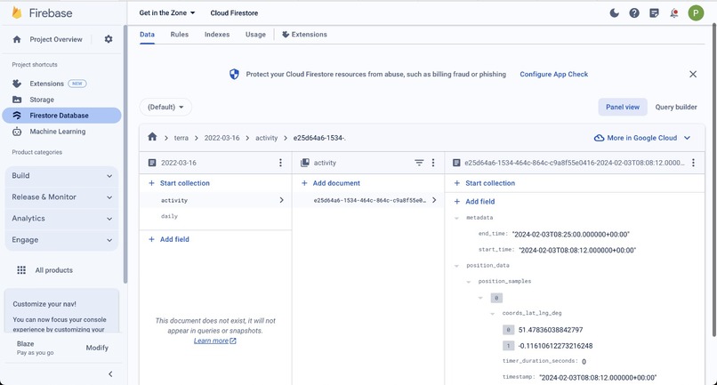
Database with use of TerraAPI


Inspiration
We were inspired by current political turmoil within the Middle East and a concern for how those fleeing from violence might be able to find somewhere safe to stay if not just for the day.
What it does
It provides an interactive api for government officials to create publicly known safe spaces which those fleeing conflict can go to. the fact they are publicly known means that it is an incredibly publicised warcrime if that zone is compromised.
It also provides a login for civilians to give their location and various attributes about them, these attributes are retrieved with Terra-API from potentially a piece of wearable tech. They are then directed to a nearby safe zone depending on that zones capacity but also how it prioritises people, those with greater athletic ability will be sent to a zone further away in order to give way to those with less ability such as children.
Since the application asks for the civilians email, they will also be emailed through a python polling script when there is a new safe zone near them as the system is always allocating as many people as efficiently as possible. This feature, and the project as a whole aims to reduce the information gap between military and civilian population efficiently.
How we built it
On the backend the zones and civilians and their locations are stored in a Firestore database which the frontend api often makes calls to, meaning that even when run locally, as long as the database is up it's accessible. the frontend uses the google maps api to create a usable map for either adding or directing routes to different markers on the maps.
We used a custom api to communicate between python and javascript in order for the email to access an api key that checks for whether the civilians are being sent to a relevant safe zone, constantly updating them with realtime advice based on their current location retrieved by the Terra-API call.
Challenges we ran into
We ran into challenges in deciding the api to use for the google maps since there were many different options to choose from and each one had a different set of examples and documentation.
Accomplishments that we're proud of
Algorithm in order to establish most efficient allocation of safe-zones based on gender, age, fitness and location with use of Terra API to establish location.
Strong full stack choices
What we learned
how to implement API's
What's next for GiT-zone
Code refactoring for security and efficiency
Mobile App for civilian front-end
Rigorous test-driven development
Further controls for governments/militaries to send out messages alongside existing Emergency SOS systems
Adding support through Terra-API to record heartrate and bloodpressure to automatically profile the distribution of fitness throughout the refugee population
Normalise and abstract RESTful API data to decrease burden on refugee phone battery / mobile data

Log in or sign up for Devpost to join the conversation.