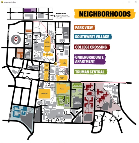
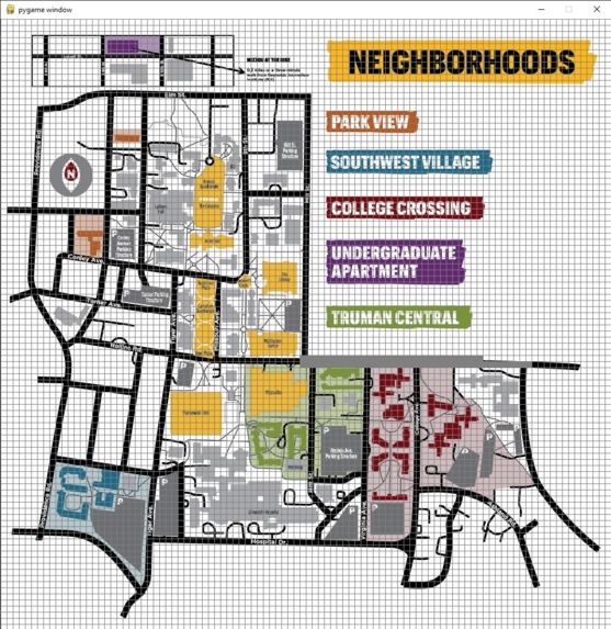
Inspiration I really love to program and have been doing it for a very long time. I wanted to make something that would be useful to anyone who walks the Mizzou campus and wants to make it to their destination in the most efficient path possible.
What it does When you run the program it will display a map of Mizzou. You can click only on the roads/sidewalks. When you click the first time, it marks that location with a point. When you click the second time at a different location is accurately displays the most efficient path via roads and sidewalks to get to the second point.
How we built it I used Python's Pygame library to create the UI for the project and Python's Pathfinding library to find the most efficient path from point A to point B.
Challenges we ran into In the beginning I would type out the entire pathfinding matrix with 1's and 0's based on where the roads were on the screen. I solved this by creating a secondary program that would generate the matrixes on it's own.
Accomplishments that we're proud of I am really proud of the "Create Pathfinding Matrix" section of my project because it created a simple solution for the creation of the huge pathfinding matrix.
What we learned The A* pathfinding algorithm was new to me so that was very interesting to learn about.
What's next for Mizzou Path Finding It would have different options for cars which would check the current time and change the paths when campus is closed.
Log in or sign up for Devpost to join the conversation.