-
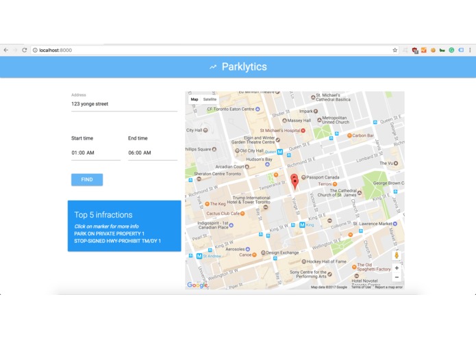
night-time parking
-
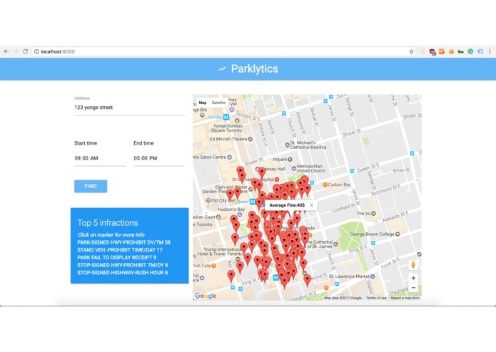
day-time parking
-
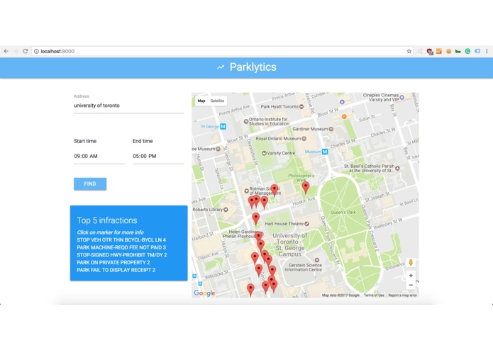
parking near UofT


Inspiration
Every car owner understands.
What it does
Narrows down possible choices of parking cost and indicates users' choices of transportation. By visualizing illegal parking spots nearby, Parklytics helps users to decide whether or not to drive to the destination in a certain period of time in the day.
How I built it
We analyzed, cleaned and indexed the parking ticket data from City of Toronto using python pandas, select all the places within certain range of a given location, and show their detailed information on the map.
Challenges I ran into
Work with massive data set efficiently and interpret their underlying significance.
Accomplishments that I'm proud of
Significantly reduced the processing time to analyze data from linear time into logarithmic time.
What I learned
Using Python Pandas to parse large set of data. Configure Google Map API.
What's next for Parklytics
Integrate into mobile app and add voice control for real-time drivers.


Log in or sign up for Devpost to join the conversation.