
High Resolution Satellite Imagery & Digital Elevation Data
Using the latest in Earth Observation Satellites, we help you get the clarity you need to make the right decisions for your project.
Access to the World’s Most Advanced Satellites
Meet our eyes in the sky—the latest generation of satellites from Maxar, Airbus Defence & Space, Planet, and Capella —and discover what they’re capable of.


Satellite Imagery
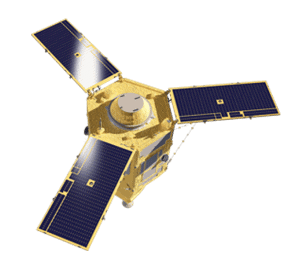
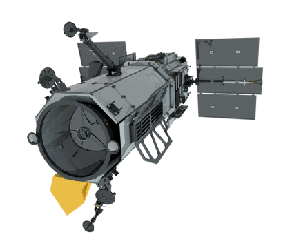
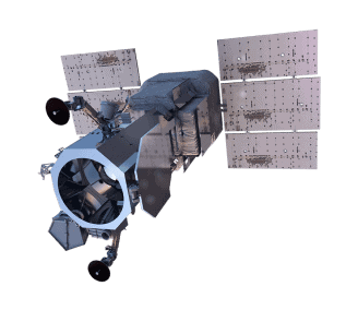
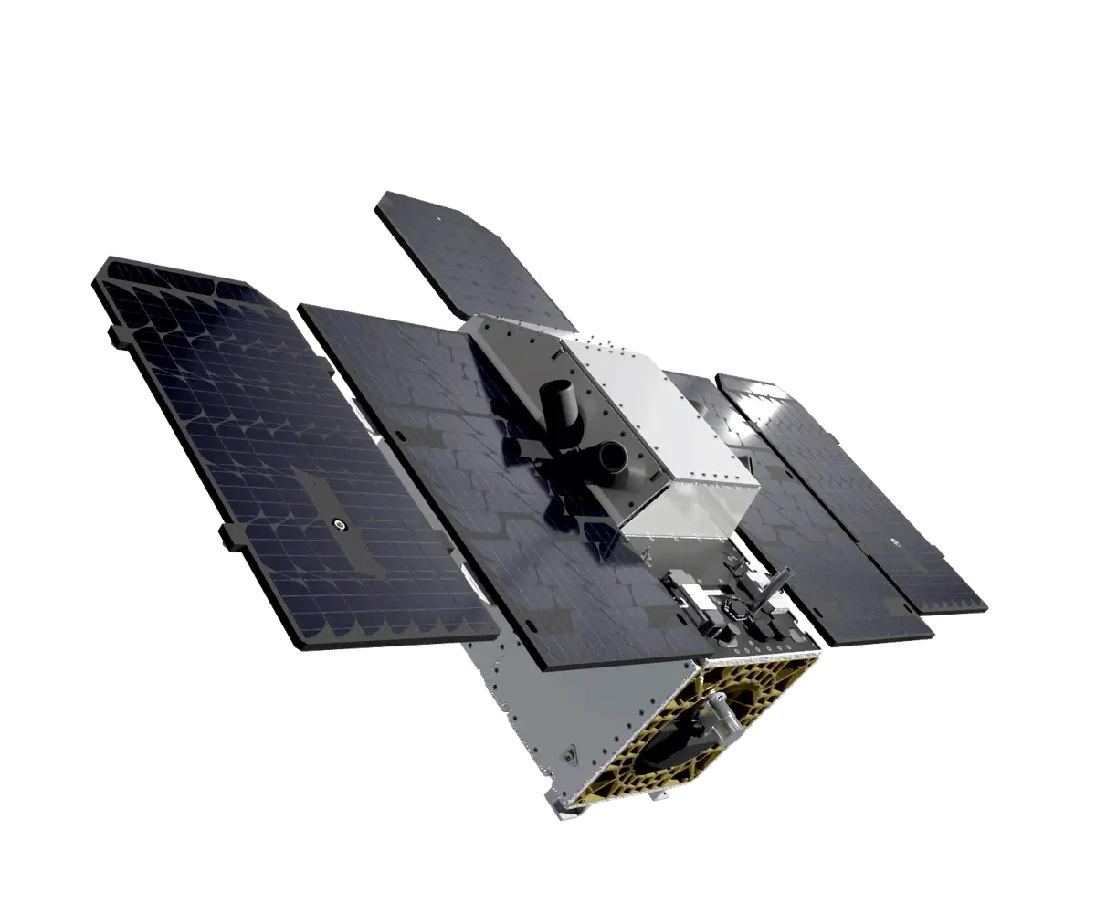
Airbus
Pleiades-1A/1B
50cm. 4-band VNIR

Airbus
Pléiades Neo
30cm. 6-band VNIR

Airbus
SPOT
150cm. 4-band VNIR
Airbus
Pléiades Neo Next
<30cm

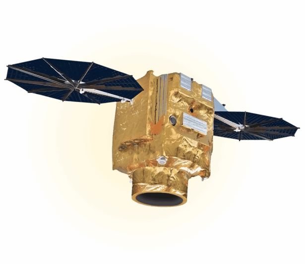
Capella Space
Capella Space
25cm X-band SAR
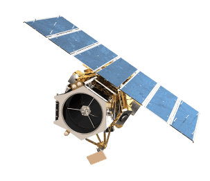
Vantor
GeoEye-1
50cm. 4-band VNIR
Vantor
WorldView-1
50cm Panchromatic
Vantor
WorldView-2
50cm. 8-band VNIR
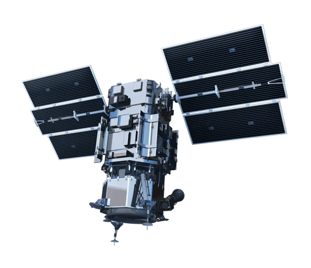
Vantor
WorldView-3
30cm. 8-band VNIR + 8-band SWIR

Vantor
WorldView Legion
30cm. 8-band VNIR
Planet
Pelican
30cm. 6-band VNIR

Planet
PlanetScope
3.7m. 8-band VNIR
Planet
SkySat
50cm. 4-band VNIR
Planet
Tanager
>400-band Hyperspectral

Satellogic
Aleph-1
50-70cm VNIR

SIIS
KOMPSAT-3
50cm. 4-band VNIR

SIIS
KOMPSAT-3A
40cm. 4-band VNIR

SIIS
SpaceEye-T
25cm. 4-band VNIR

Wyvern
Dragonette
Hyperspectral VNIR

Pixxel
Firefly
5m 150+ band Hyperspectral


See the Difference
The options for satellite imagery are endless but not all providers give you access to the right source that will help you collect, analyze, and apply satellite imagery data to inform your projects.
Make Decisions with Greater Clarity.
Avoid receiving images that leave you with more questions than they do answers. Instead, get the high-quality images you need to gain clarity about critical decisions and keep your project moving forward.

Here’s how we guide you to the right source of data for your project.

1. Tell us the Problem
Explain the situation to us on your terms. We’ll translate it into the world of Satellite Imagery.

2. Review Your Options
Be presented with a simple choice of the top 2-3 imagery solutions for your project.

3. Make Confident Decisions
Know you have the right data in hand to make the critical decisions that keep your project moving forward.

