Visualisation of Habitat Connectivity in the St. Lawrence Lowlands

Image 
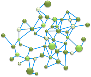
An interactive visualisation tool to explore the potential constraints on the movement of animals across the St. Lawrence Lowlands of Quebec.
Image

Science citoyenne et biodiversité au Québec

Image Liste de projets de science citoyenne en lien avec la biodiversité au Québec.
Image

Conservation and Ecological Connectivity in the St. Lawrence Lowlands

Image

Link to the report on conservation prioritization of natural habitats in the St. Lawrence Lowlands based on their importance for ecological connectivity.

Image

Public trees of Montreal

Image Interactive map of the public trees of Montreal.
Image

Trees of Quebec City

Image

Interactive map of the trees of Quebec City.

Image

Bat Watch!

Image Citizen science projet to locate bat colonies and monitor populations in Canada.
Image

Northern Biodiversity

Image Citizen science project in Canada's great North!
Image

Inventory of biodiversity monitoring projects in Québec

Image List and description of biodiversity monitoring programs in Québec.
Image

Nests in your backyard!

Image Citizen science project involving elementary school kids of the Rimouski region.
Image

BAM! Biodiversity Article Mapper

Image The Biodiversity Articles Mapper is an interactive tool mapping geo-located scientific articles that mention animal names in Québec.
Image

Data on Quebec's biodiversity

Image Inventory of field datasets on Quebec's biodiversity
Image

Biodiversity, ecosystem services and businesses

Image Tool to assess the interdependencies between businesses and biodiversity.
Image