Making Maps with Ruby

Image

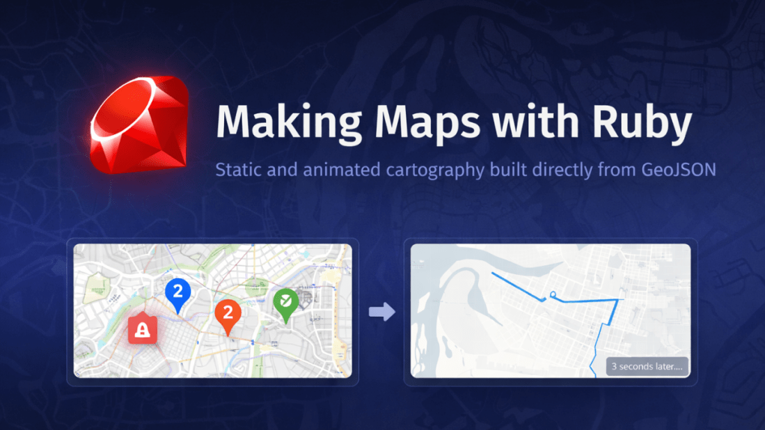
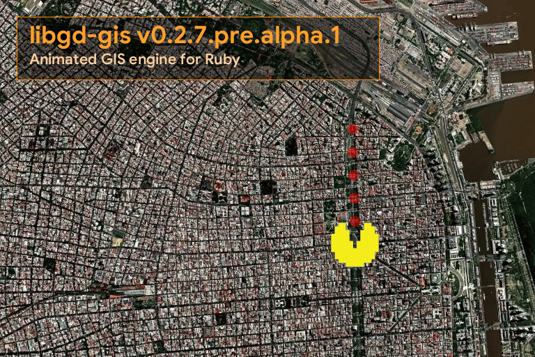
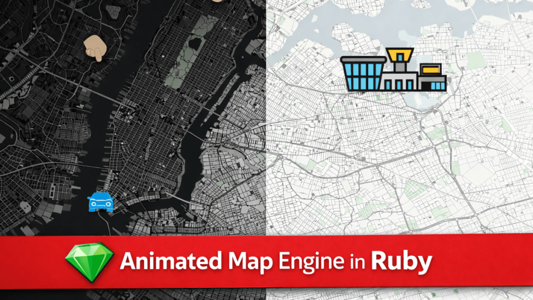
Making Maps with Ruby January 29, 2026 Static and animated cartography built directly from GeoJSON For a long time, generating maps from code meant working inside heavy ecosystems designed primarily for analysis. Those tools are powerful, but they are not always the right fit. In many practical scenarios, the problem is simpler and more concrete: … Continue reading Making Maps with Ruby

Understanding TypeProf: Design Goals, Limitations, and Effective Use in Ruby

Image

Understanding TypeProf: Design Goals, Limitations, and Effective Use in Ruby January 28, 2026 TypeProf is an official type inference tool for Ruby that has gained attention as part of the ecosystem surrounding RBS, Steep, and Sorbet. Despite this visibility, it is frequently misunderstood and often perceived as “not working” by first-time users. This article analyzes … Continue reading Understanding TypeProf: Design Goals, Limitations, and Effective Use in Ruby

Ruby Rendering Seismic Observation Data

Image

January 27, 2026 From Disaster Prevention to High-Performance Maps On December 26, 2025, I published an article titled “Ruby at the Front Line of Disaster Prevention.” It was inspired by a real, uncomfortable fact: Tokyo Gas uses Ruby to protect millions of people during earthquakes. Not in theory. Not as a prototype. In production. That … Continue reading Ruby Rendering Seismic Observation Data

Stabilizing a Native Ruby GIS Engine with Docker, RuboCop, and CI

Image

January 26, 2026 For many years, Ruby developers working with maps and geospatial data have relied on external tools or loosely coupled pipelines. ImageMagick, command-line utilities, and background processes became the norm, even though they were never designed to be deterministic GIS rendering engines. The result was fragile systems: slow, hard to debug, and difficult … Continue reading Stabilizing a Native Ruby GIS Engine with Docker, RuboCop, and CI

libgd-gis: A Practical GIS Rendering Engine for Ruby

Image

January 23, 2026 Raster maps, GeoJSON overlays, and real-world cartography — without leaving Ruby. Over the last months, I’ve been working on libgd-gis, a GIS rendering engine built on top of libgd and designed specifically for Ruby developers who need static map generation without relying on browser-based toolchains or heavyweight GIS stacks. This article walks … Continue reading libgd-gis: A Practical GIS Rendering Engine for Ruby

A New View of Earth, Powered by Ruby

Image

January 22, 2026 libgd-gis, satellite imagery, and a new way to think about maps Most mapping libraries start from the same place: roads, labels, vectors, tiles. But what happens if the map itself is not the goal? What if the map is just a lens to observe the planet? This article is about how libgd-gis, … Continue reading A New View of Earth, Powered by Ruby

map_view — Server-side maps for Ruby on Rails

Image

For years, maps in Rails applications have lived almost entirely on the frontend:JavaScript libraries, external APIs, keys, variable costs, and a fair amount of friction. map_view starts from a simple question: What if maps in Rails were as simple as rendering a view? <%= map_for @locations %> That’s it. What is map_view? map_view is a … Continue reading map_view — Server-side maps for Ruby on Rails

libgd-gis v0.2.7.pre.alpha.1

Image

January 16, 2026 Testing GIS animations in Ruby (exploratory work) Today, early in the morning, after releasing GIF and animation support in ruby-libgd, together with updated documentation, versioning, and examples, I decided to do something very concrete: spend the entire day stress-testing the alpha version of libgd-gis. And what better way to test animations than … Continue reading libgd-gis v0.2.7.pre.alpha.1

Ruby Now Has an Animated Map Engine (Alpha Preview)

Image

Ruby Now Has an Animated Map Engine January 15, 2026 Building real-time, animated maps in pure Ruby — no JavaScript required. A new class of maps for Ruby Over the past weeks, we’ve been extending ruby-libgd and libgd-gis far beyond static image rendering. What started as a raster + GIS toolkit is now evolving into … Continue reading Ruby Now Has an Animated Map Engine (Alpha Preview)

libgd-gis moves into serious cartography territory

Image

January 13, 2026 Rivers of Europe and Entre Ríos rendered directly in Ruby Today marks a major milestone for libgd-gis: we crossed from “experimental map renderer” into a real GIS-grade drawing engine. Using nothing but Ruby + libgd, we are now able to render continent-scale river networks, provincial hydrology, and complex GeoJSON layers with proper … Continue reading libgd-gis moves into serious cartography territory