“Our customers measure success in how fast they get to an answer. Rowan takes the question and returns an answer grounded in Earth observation data, in the time it takes to ask it.” - SkyFi CEO, @lukefischer
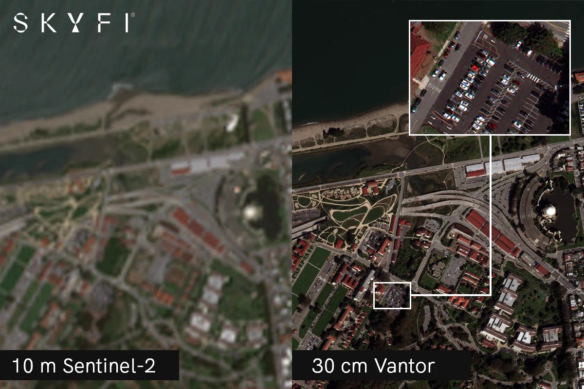
What can you actually see in a satellite image? It comes down to resolution. 🛰️
Our latest guide breaks down sub-meter imagery, why smaller GSD means sharper detail, how resolution tiers compare, and which one fits your use case.
skyfi.com/en/blog/sub-me…
Resolution changes what you can see in satellite imagery. 🛰️
The smaller the number, the sharper the detail.
With very high-resolution imagery, features like vehicles, aircraft, roads, and infrastructure become easier to distinguish.
See what 30 cm imagery can reveal with