-
-
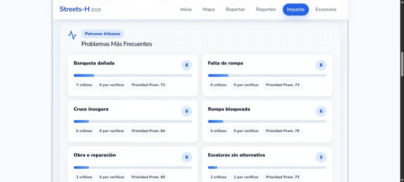
Pestaña Impacto
-

Pestaña Reportes
-
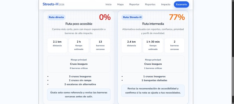
Pestaña Escenario
-
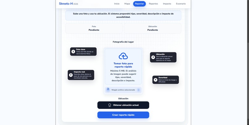
Pestaña Reportar
-
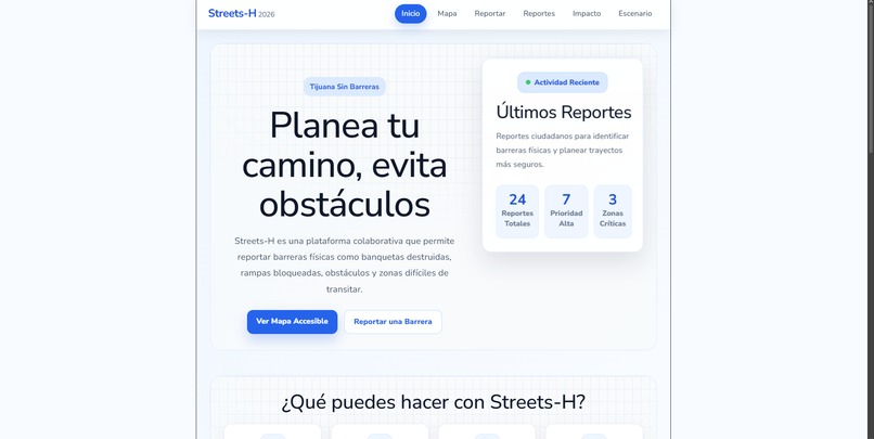
Pestaña Inicio
-
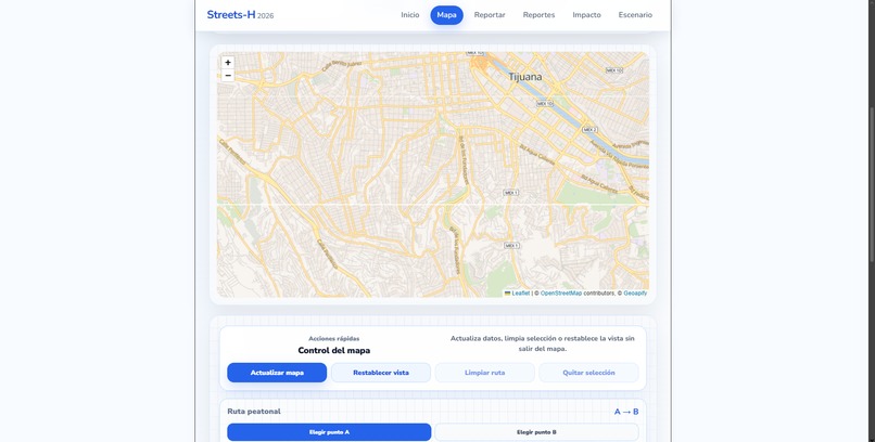
Pestaña Mapa


Inspiration
Streets-H was created to address a common urban mobility problem: many navigation tools provide the fastest route, but not necessarily the most accessible or safest route for people with different mobility needs.
The project focuses on improving route planning by considering accessibility-related factors such as mobility profiles, route conditions, risk reports, and contextual recommendations before starting a trip. The goal is to provide a more inclusive navigation experience where users can make better decisions before moving through the city.
What it does
Streets-H is a web application that helps users calculate and visualize accessible routes on an interactive map. The system allows users to select a mobility profile and request route recommendations adapted to accessibility needs.
The application can display route explanations, recommendations before leaving, and report-based information related to possible obstacles or incidents. It also includes support for submitting reports that can help improve the quality of future route evaluations.
Main features include:
- Interactive map visualization.
- Route calculation between origin and destination.
- Mobility profile selection.
- Accessibility-aware route recommendations.
- Explanation of the suggested route.
- Recommendations before starting the trip.
- User reports for accessibility-related issues.
- Backend API for route processing and report management.
- Optional cloud persistence for reports and data storage.
How we built it
The project was built as a full-stack web application.
The frontend was developed with React and Vite, providing a fast and modular user interface. The map interface integrates Geoapify services to display geographic data, search locations, and visualize routes.
The backend was developed with ASP.NET Core. It exposes API endpoints responsible for handling route requests, accessibility logic, reports, and communication with external services. The backend structure separates controllers, services, models, configuration, and data access to keep the system organized and maintainable.
The project also integrates AI-assisted analysis through Gemini, which is used to generate route explanations and contextual recommendations. Firestore support is included as an optional persistence layer for storing report-related information.
Challenges we faced
One of the main challenges was connecting route calculation with accessibility criteria in a way that remained understandable for users. The system needed to provide more than a line on a map; it also needed to explain why a route was recommended and what should be considered before starting the trip.
Another challenge was organizing the full-stack architecture so that frontend components, backend services, API contracts, and external integrations could work together cleanly. Handling environment variables and keeping sensitive configuration separated from the public project files was also an important part of the development process.
The map interface also required careful handling of user interactions, route rendering, report visualization, and UI states to make the experience clear and usable.
What we learned
The project helped reinforce the importance of designing software with accessibility in mind from the beginning. It also provided practical experience in full-stack development, API integration, map-based interfaces, environment configuration, and documentation for technical evaluation.
The development process highlighted how route planning can be improved when geographic data, user context, accessibility criteria, and AI-generated explanations are combined in a single application.
What's next for Streets-H
Future improvements may include:
- More detailed accessibility scoring for each route.
- Real-time obstacle and incident updates.
- Better validation of user-submitted reports.
- Mobile-first improvements.
- User accounts and personalized route preferences.
- Administrative tools for reviewing reports.
- Integration with additional map and transportation data sources.
- Expanded support for different cities and accessibility conditions.


Log in or sign up for Devpost to join the conversation.