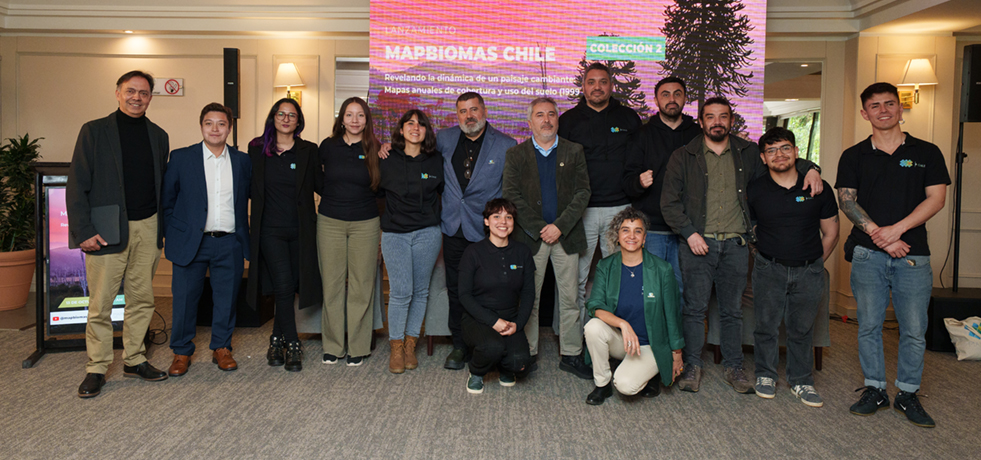
Access the launch event of the first collection of maps for the National territory.

MapBiomas Chile es una red de colaboración conformada por instituciones de diferentes partes del país que se especializan en la percepción remota, la programación, el análisis del paisaje y los recursos naturales del territorio.
Explore los resultados de la primera clasificación de la Colección 2.0 de Mapbiomas Chile entre los años 1999 y 2024 para diferentes partes del país.
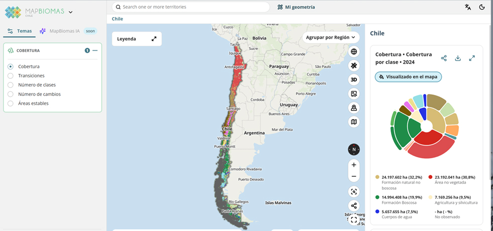
The maps and statistics can be consulted by different territorial units: Regions, Provinces, Communes, Hydrographic Basins and Protected Wild Areas.

Chile
Learn about the methodology of MapBiomas Chile and how the network is organized to generate maps and data of land cover and land use
Acedder a la metodología