Contact us
Discover how SAR data and space systems can help your organization achieve mission success. Reach out to our experts today.

Persistent, actionable information is at the heart of decisiveness.
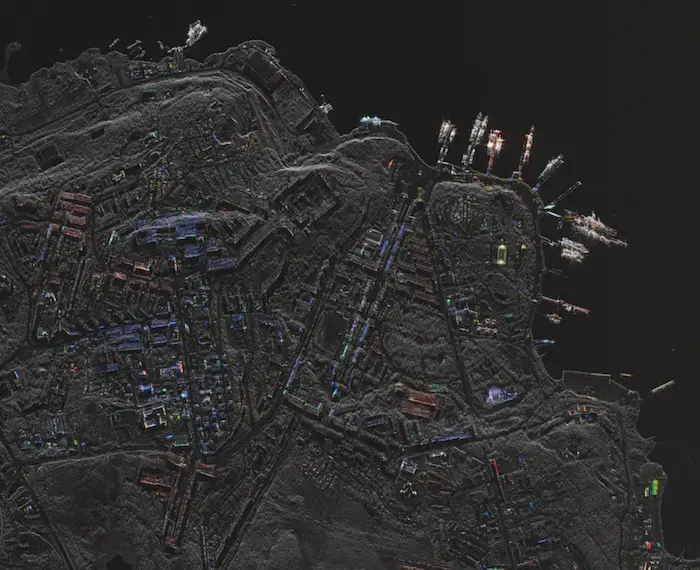
Our radar sensors deliver data products with high reliability, excellent quality, frequent revisit and rapid dissemination. From strategic to tactical decision-making, maritime observation to specific site monitoring, find out how our data creates confidence.
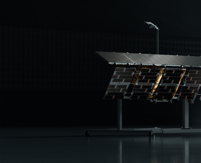
From our production line to your mission. Our innovative, vertically integrated space and ground systems create opportunities for unique applications.

4 min read
ICEYE launches high-performance Gen4 satellite for commercial operations
The launch of ICEYE's Gen4 satellite marks a significant leap forward in what's possible for Earth observation. With 16cm resolution and ...
Read the post ICEYE launches high-performance Gen4 satellite for commercial operations →
1 min read
ICEYE US and ICEYE expand SAR imaging capabilities with the launch of Scan Wide mode
ICEYE US and ICEYE deliver enhanced operational readiness with the introduction of our new Scan Wide imaging mode, providing ...
Read the post ICEYE US and ICEYE expand SAR imaging capabilities with the launch of Scan Wide mode →