-
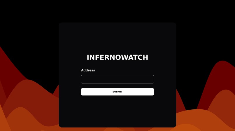
GUI of the App

Inspiration
Inspired by recent wildfire disasters, including Jasper National Park and LA, we decided to build an app that could help with wildfire risk assessment as well as allowing anyone to find areas impacted by wildfire easily.
What it does
InfernoWatch is a classification neural network that will take a satellite image of an area and determine if it has previously been affected by a wildfire. Users can enter their addresses in order determine whether or not a specific area near them was affected
How we built it
We found a model and dataset online to use, and trained the model ourselves. We then created a web app using react for the frontend and flask for the backend, and utilized the google maps API in order to pull satellite images, run them through the AI and send the results to the frontend
Challenges we ran into
Training the AI was really the easiest part. The difficult bits were really first getting the google api set up and working on the backend, and then connecting the back end and the front end in a user friendly way
Accomplishments that we're proud of
We are proud of both training an AI model, as well as successfully integrating it into a full stack web app, all in a day and a half
What we learned
We learned a lot about both training AI models, as well as full stack development. We learned about creating a back end and making API calls between the front and back ends.
What's next for InfernoWatch
We want to be able to implement a direct google maps embed in order to give more precise location selection. Then we want to test with real world users and ensure user satisfaction with our UI, as well as refine the "messier" bits of our code that was implemented in a rush.

Log in or sign up for Devpost to join the conversation.