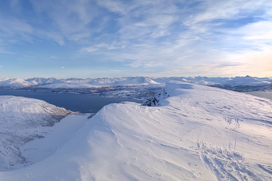
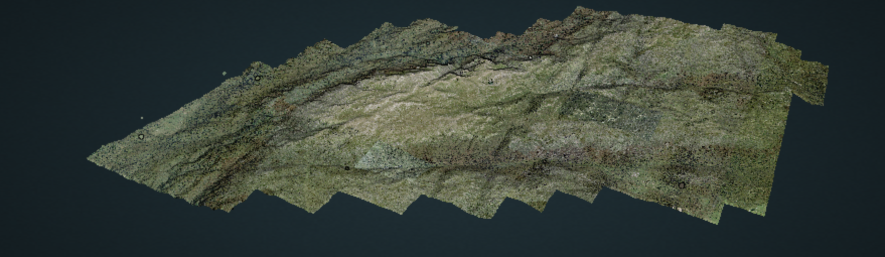
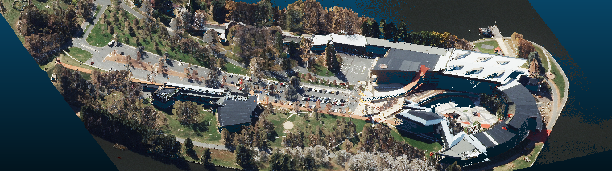
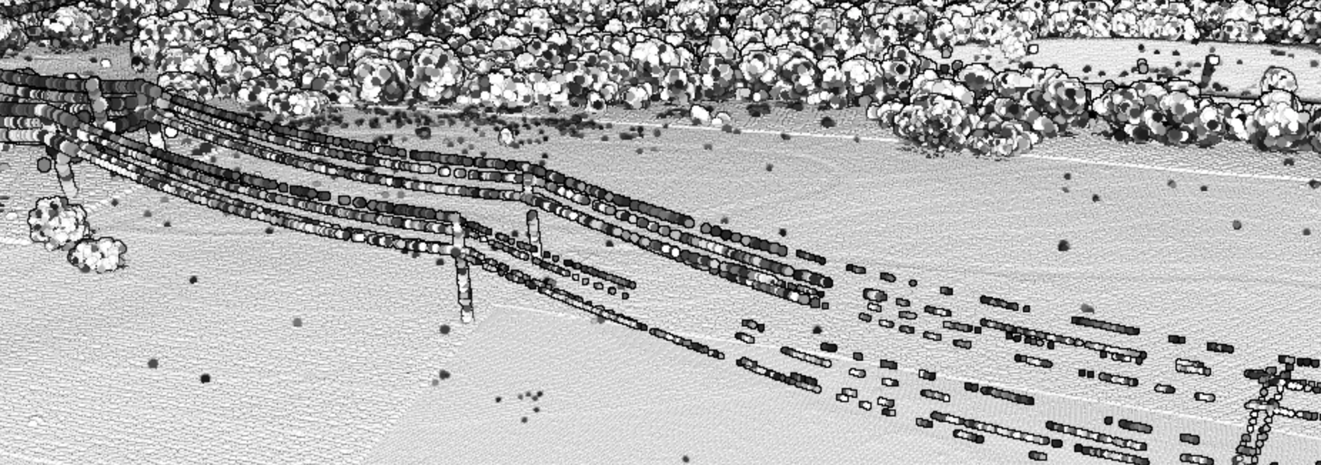
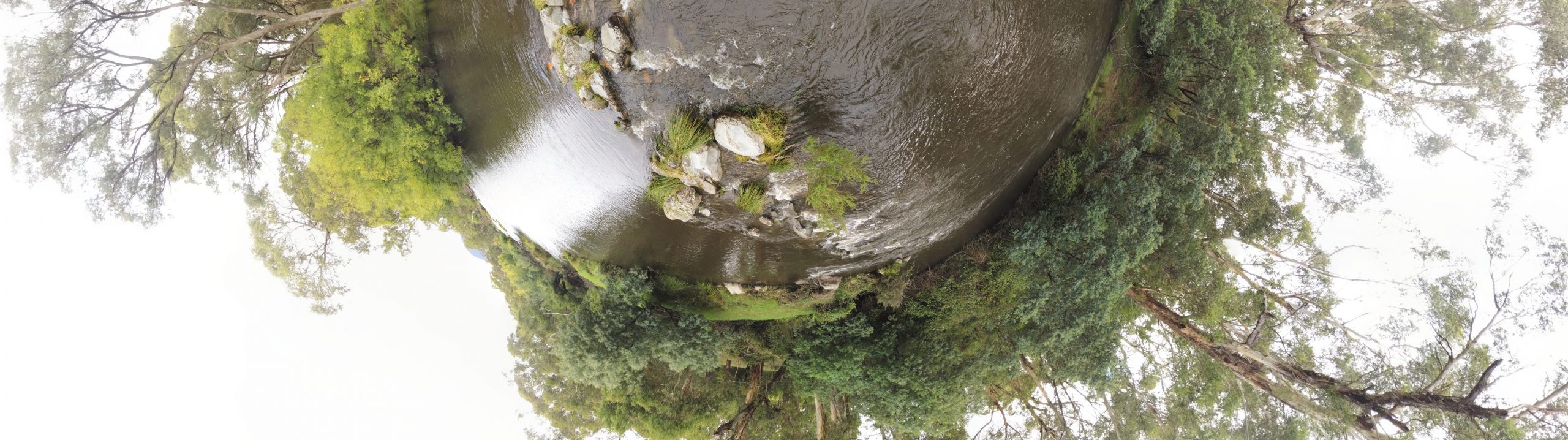
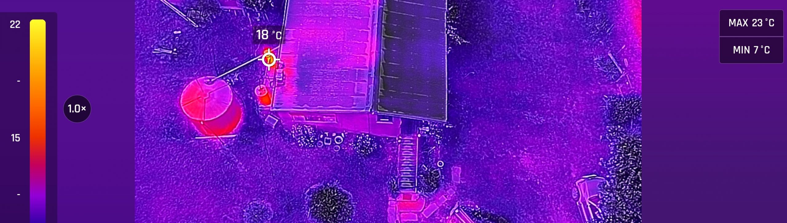
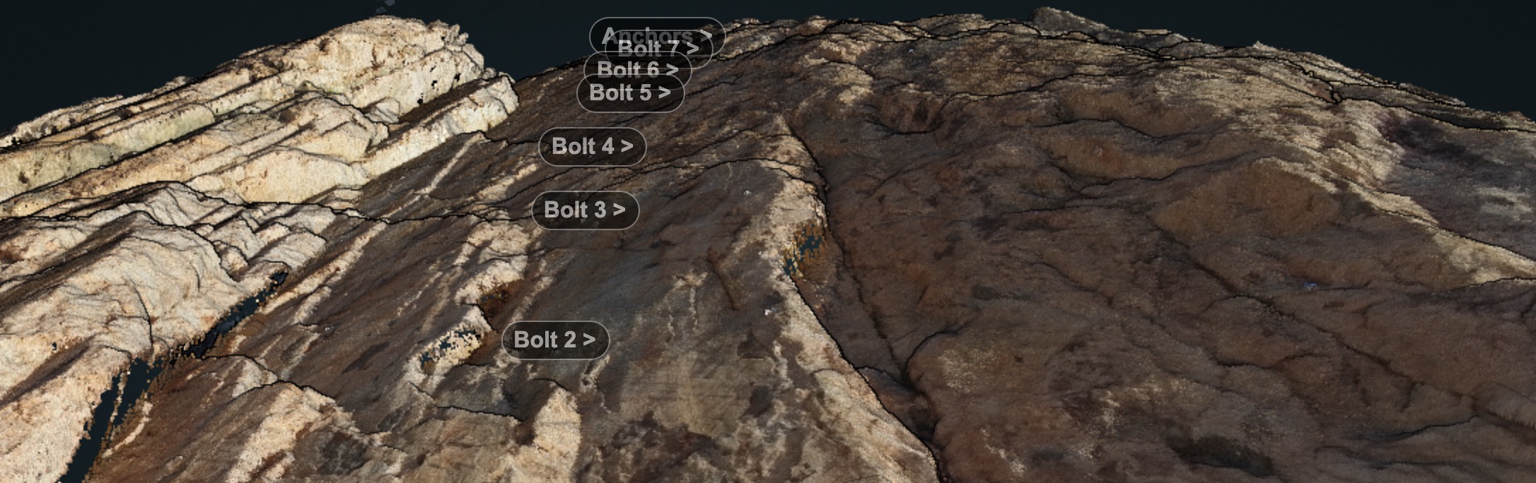
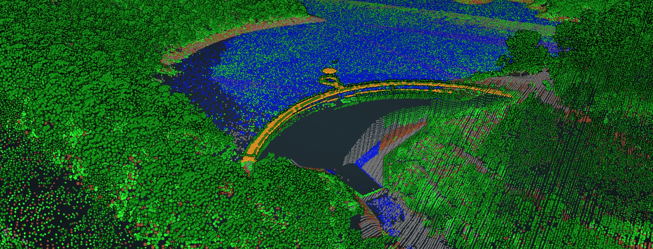
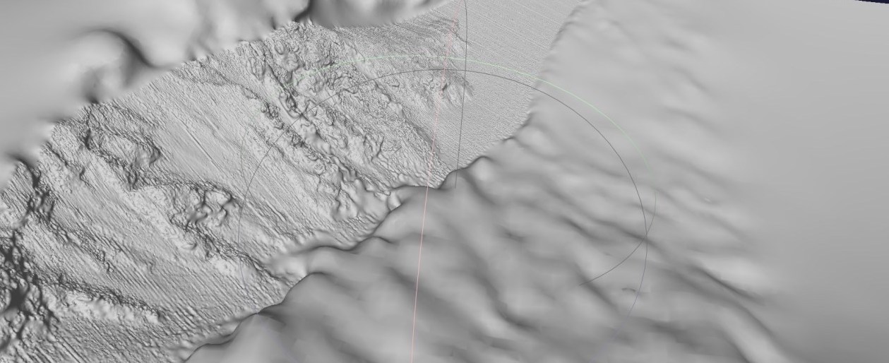
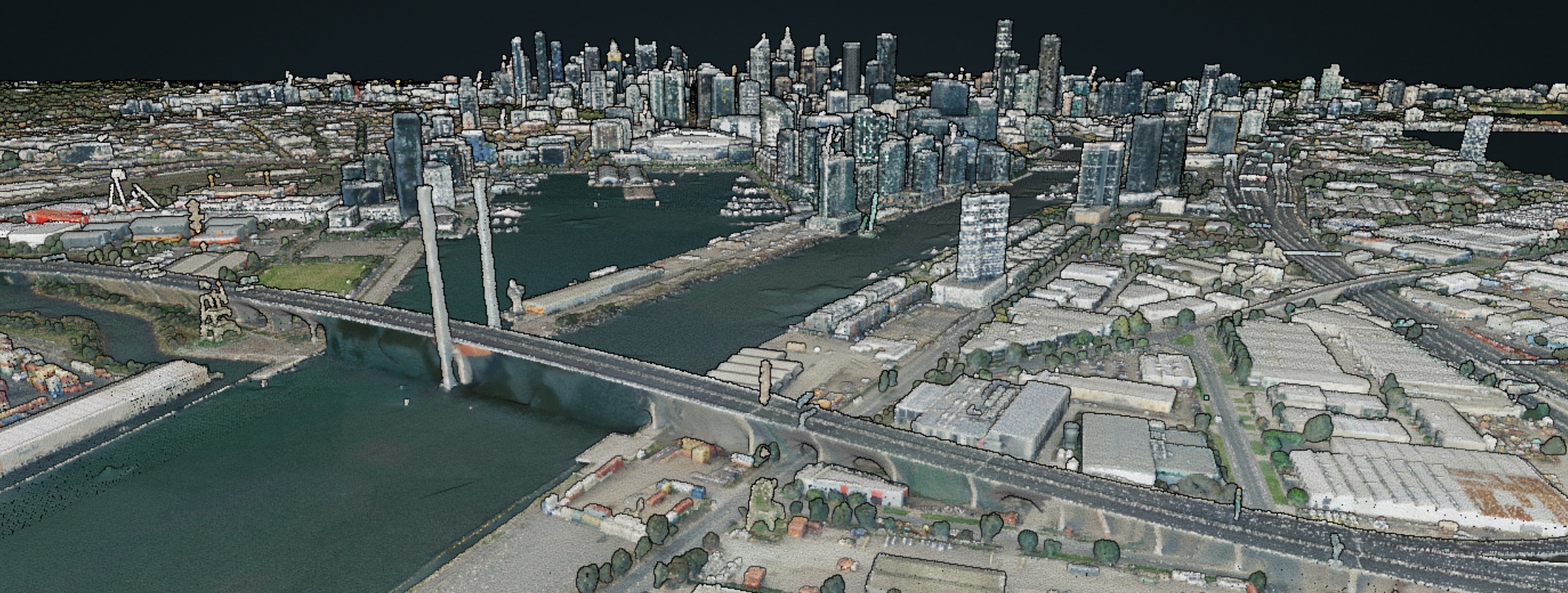
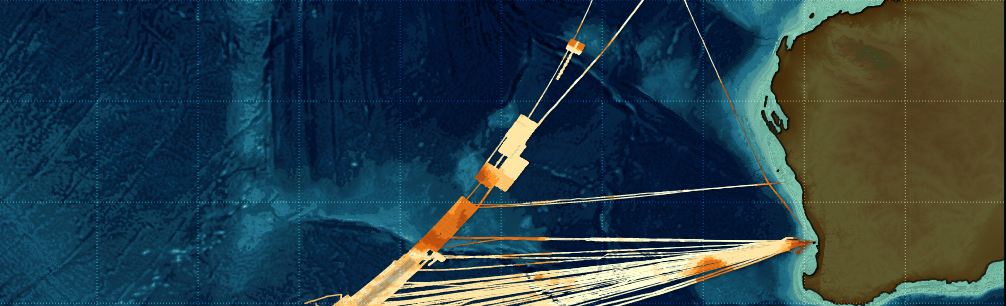
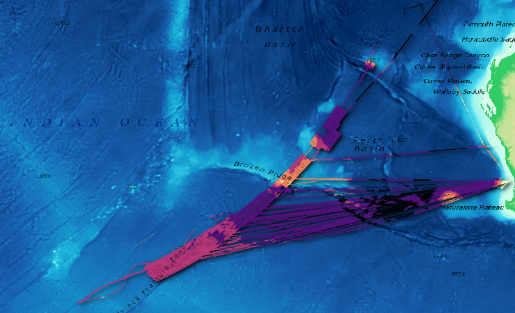
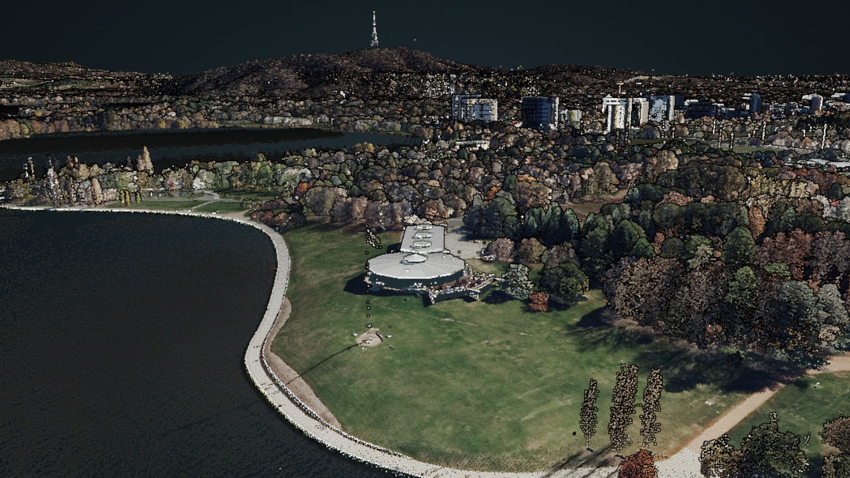
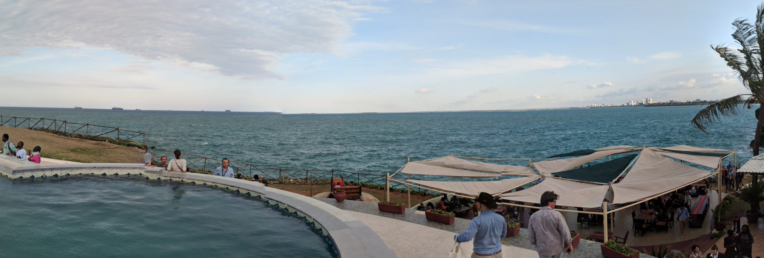
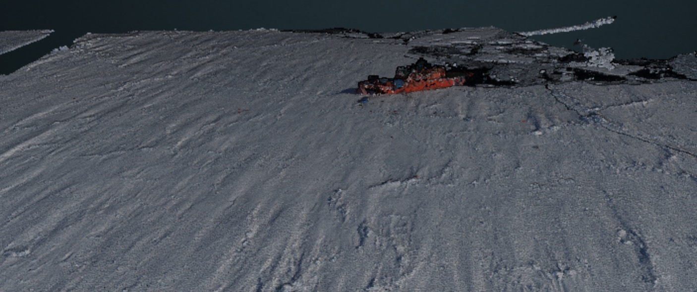
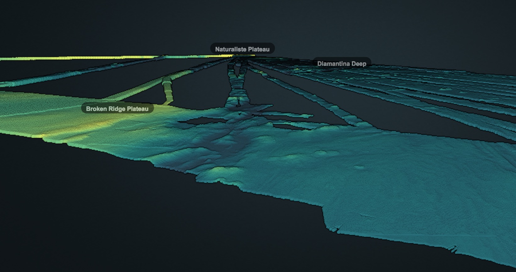
Landscape analysis
The shape of our physical environment impacts so much of how we interact with it, what lives in it, what is able to live in it, and what hazards exist in it.
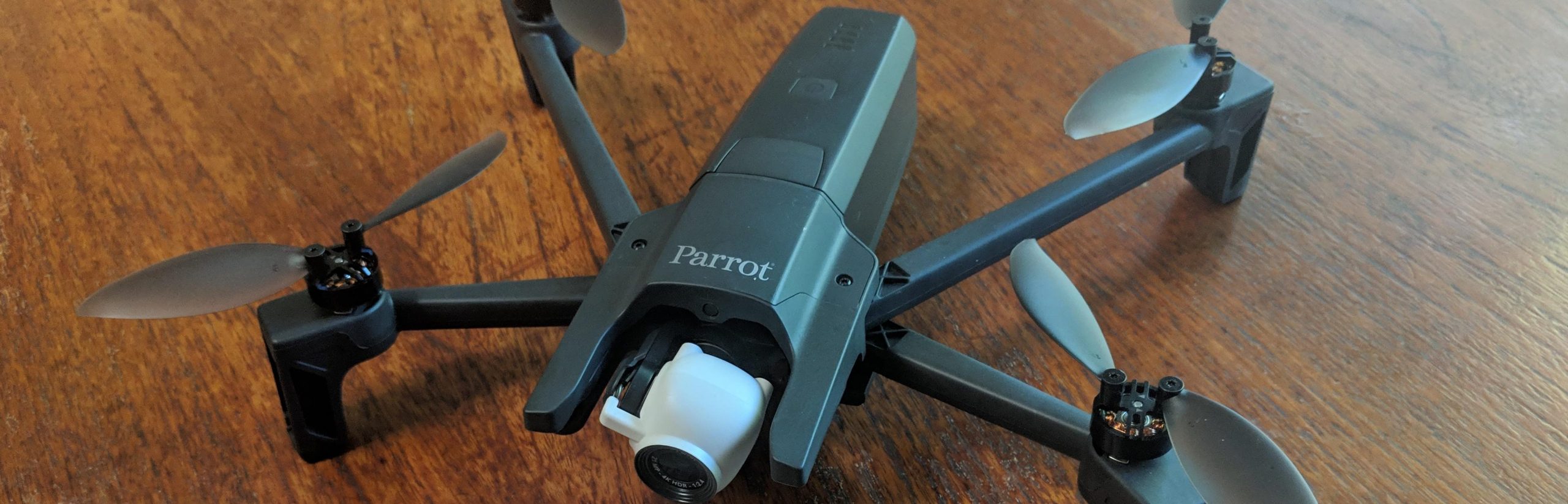
Spatialised is able to translate data into action – using a range of remote sensing technologies to tell a story about a place on Earth, on land or at sea. We’re also able to dispel myths, and have a deep understanding of how systems that contribute to getting these parts of the story work.
Examples of what’s possible are shown here – reach out if you’ve got a landscape story you need help with telling.