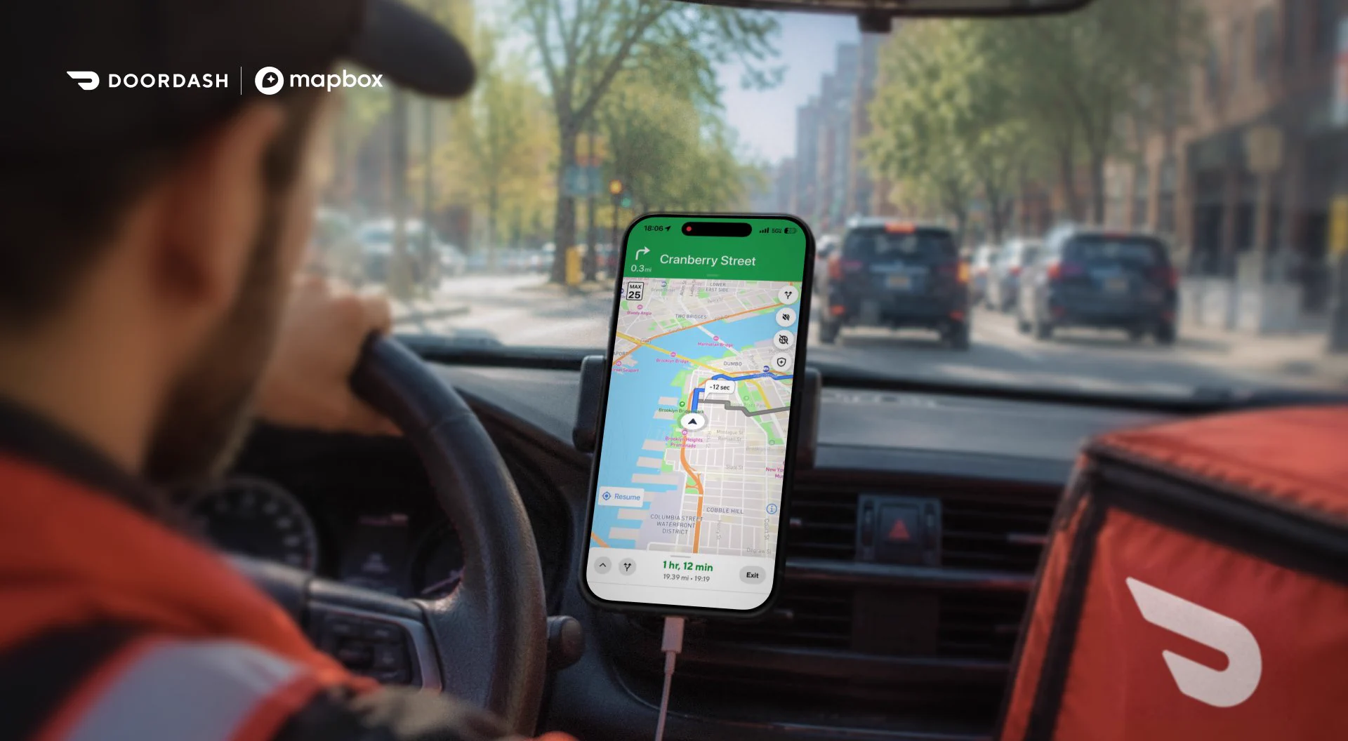
How does DoorDash deliver a seamless experience across millions of orders?
By building with Mapbox.
DoorDash integrates our maps, routing, and navigation directly into its apps to streamline Dasher workflows, improve delivery efficiency, and create a better experience for
ICYMI: If you work in QGIS or ArcGIS and want to bring your GIS work to the web, this walkthrough from Matt Forrest shows a faster path to building a modern, interactive web map.
See how to go from spatial analysis to a web app using Mapbox GL JS and Mapbox Standard, with globe
The right address is just the beginning. Now, find the right entrance across Europe with Mapbox Geocoding API.
Earlier this year, we introduced building entrance data through the Mapbox Geocoding API for 100+ million addresses across the US and Canada. Today, we're expanding
Hovership uses Mapbox across the delivery workflow — from the moment an address enters the platform to the final route driven by a courier.
The Mapbox Geocoding API validates and geocodes incoming addresses, while Mapbox Search JS helps catch address issues during order entry.
AI is only as useful as its understanding of the real world. 🌎
Mapbox provides location infrastructure for AI, giving applications and agents the geographic context they need to deliver smarter answers, better decisions, and more useful actions.
See how Athenium and Cecilian