Planet
@planet
We see the whole world, every day. Using space to help life on Earth. 🛰️ $PL
 We’re sharing an open data release focused on the recent 7.4-magnitude earthquake in Colombia to help support experts working to respond to the disaster. We will continue to update these resources as we capture more imagery of affected areas. Access the dataset at:
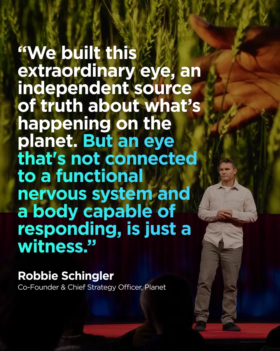
- Planet x @TEDTalks 🌎🚀 Our Co-Founder & Chief Strategy Officer @schingler's TED Talk discusses how we’re entering an era of Planetary Intelligence: combining near-daily satellite imagery with AI to transform data into action. The future isn’t just about just seeing the Earth.
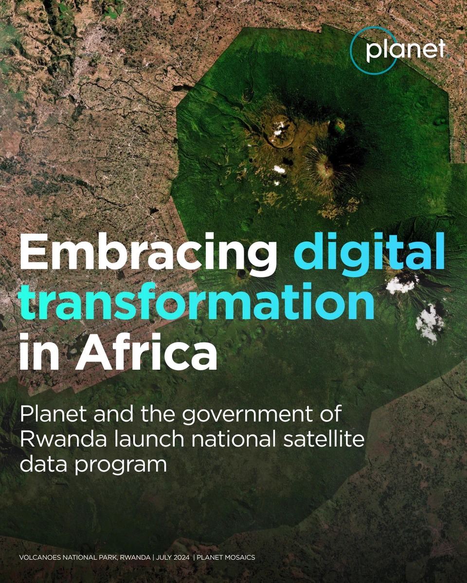
- We’re partnering with the Government of Rwanda to launch a new national satellite data program. This deal marks Planet’s first national program of its kind in Africa. Managed by @RwandaSpace, the initiative provides Planet data to agencies, universities & select startups, for