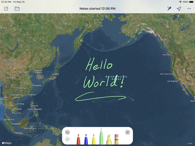
Today we are announcing Draw Maps for ArcGIS version 5, now with map pins and long form text. Host shared map notes, pins, and photos in ArcGIS Online.
See map pins, new in version 5: youtu.be/HKLgqkzSTxQ
See multiuser notes in action: youtu.be/LNaKGWf0ooo
Today we are announcing Draw Maps for ArcGIS version 4. Your ArcGIS Online Organization can now host shared map notes and photos. Take notes and add photos to the map using this easy field notes tool. To see it in action, watch this video. youtu.be/LNaKGWf0ooo
We just released Draw Maps 4.1 (ArcGIS version coming soon). New feature: Send KML. The first screenshot is Draw Maps. The second is Google Earth Pro. For grins, I'm showing Draw Maps vector data working across the 180th meridian.
A bit of news... We just released Draw Maps 4.0. This is the "Photos" release. You can now position photos in your map and aim each one in the direction you were facing when you took it. Draw and take notes on each photo as well as on your map. apps.apple.com/us/app/draw-ma…