
Extract, validate, and deliver projects faster


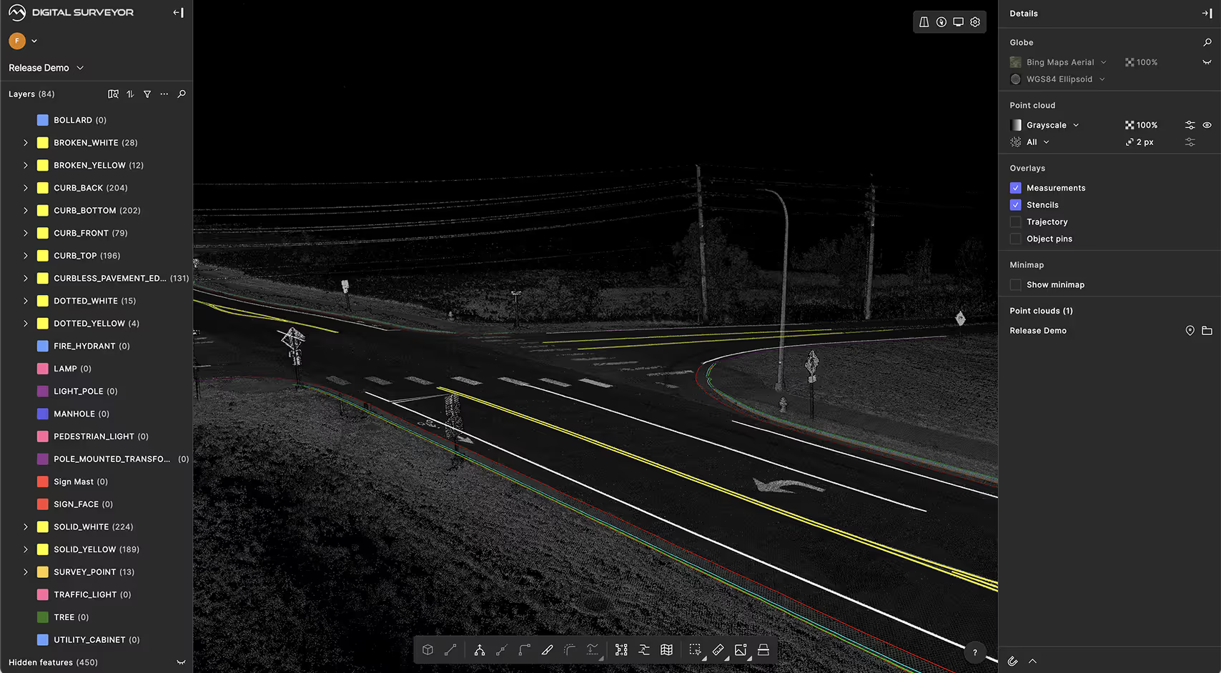
Built for mobile mapping
Digital Surveyor’s data-agnostic ingest pipeline supports most major data formats from scanners by Riegl, Trimble, Leica, and NavVis.
.avif)
Camera 4 360 Left/0000000440
Camera 4 360 Right/0000001150
Camera 4 360 Back/0000001154
.avif)
AI-powered data analysis
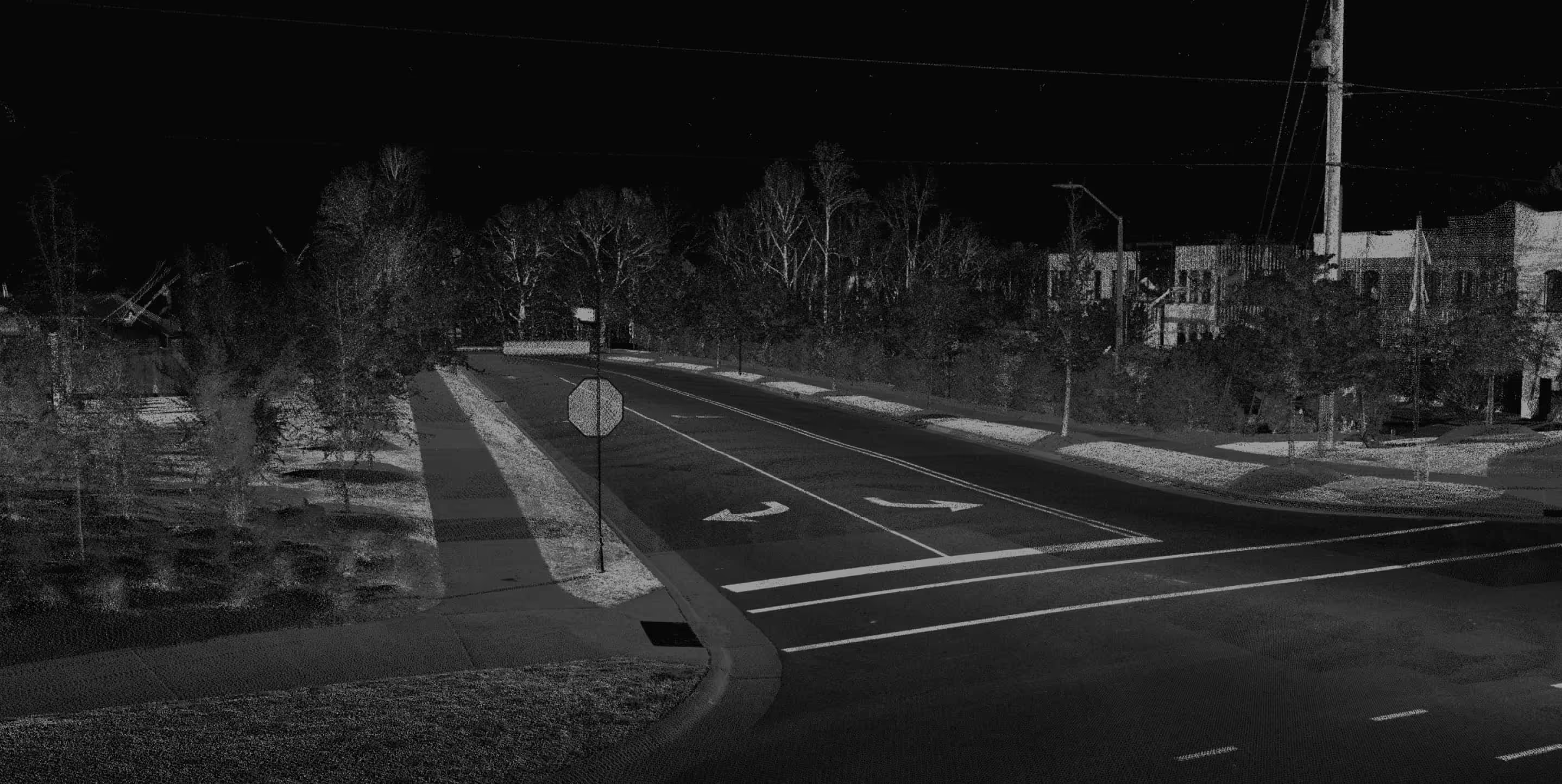
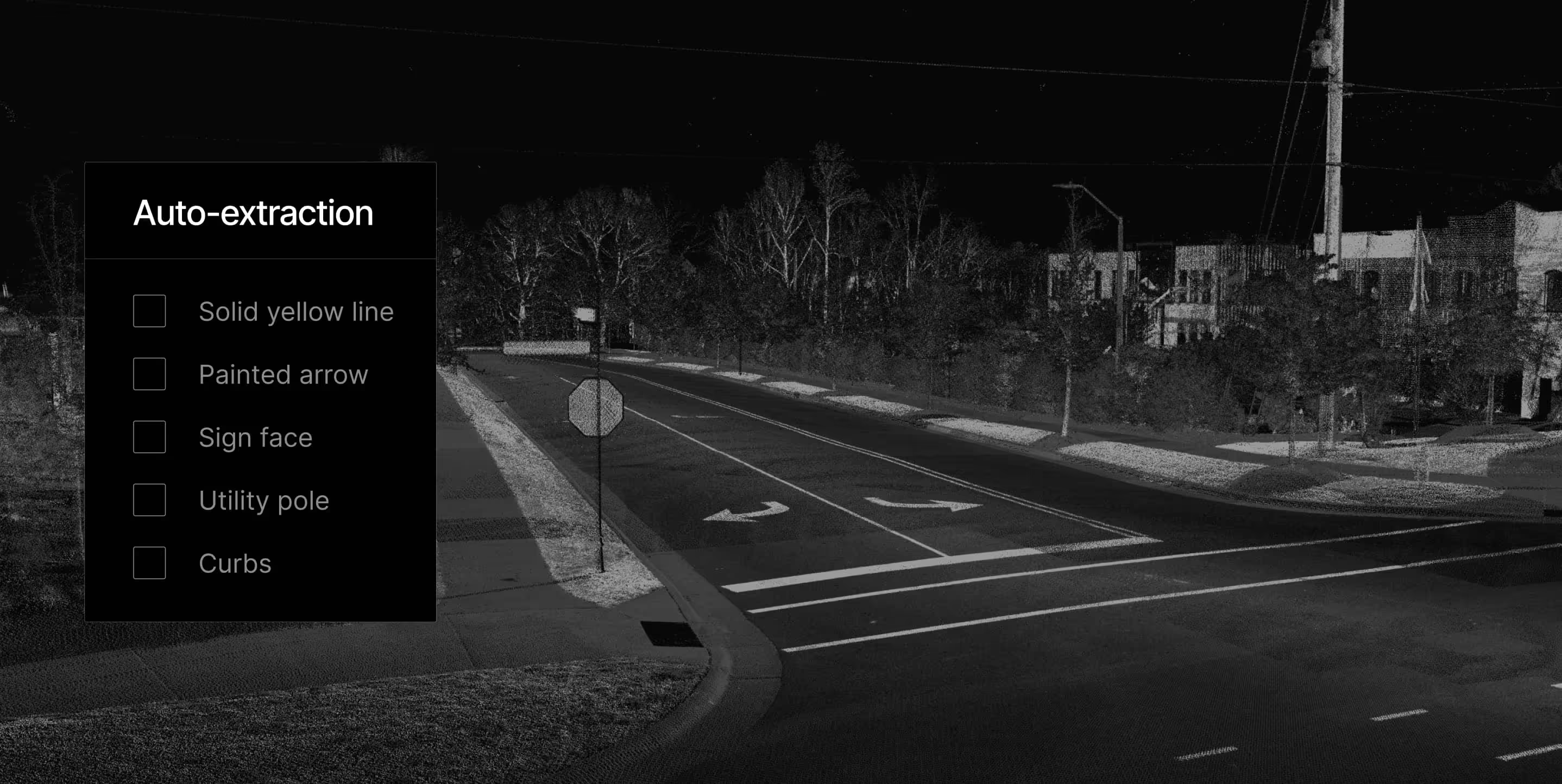
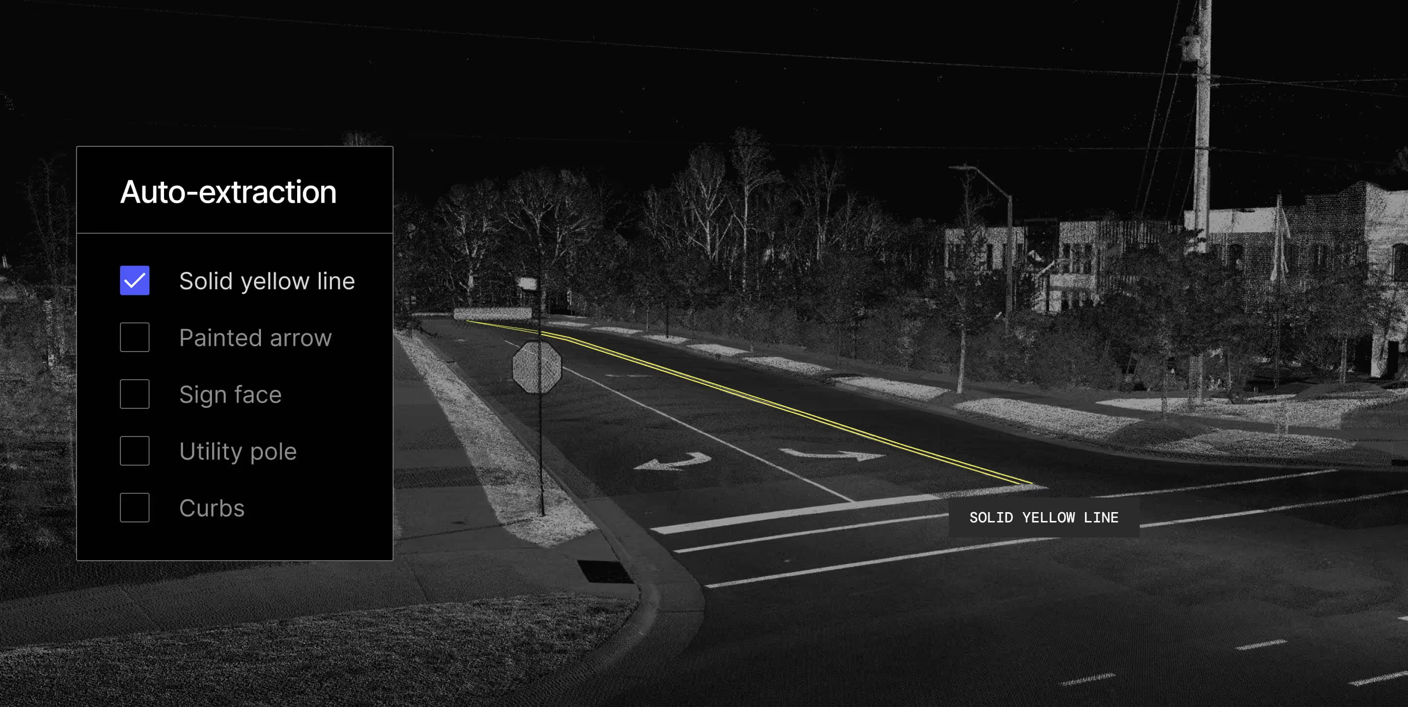
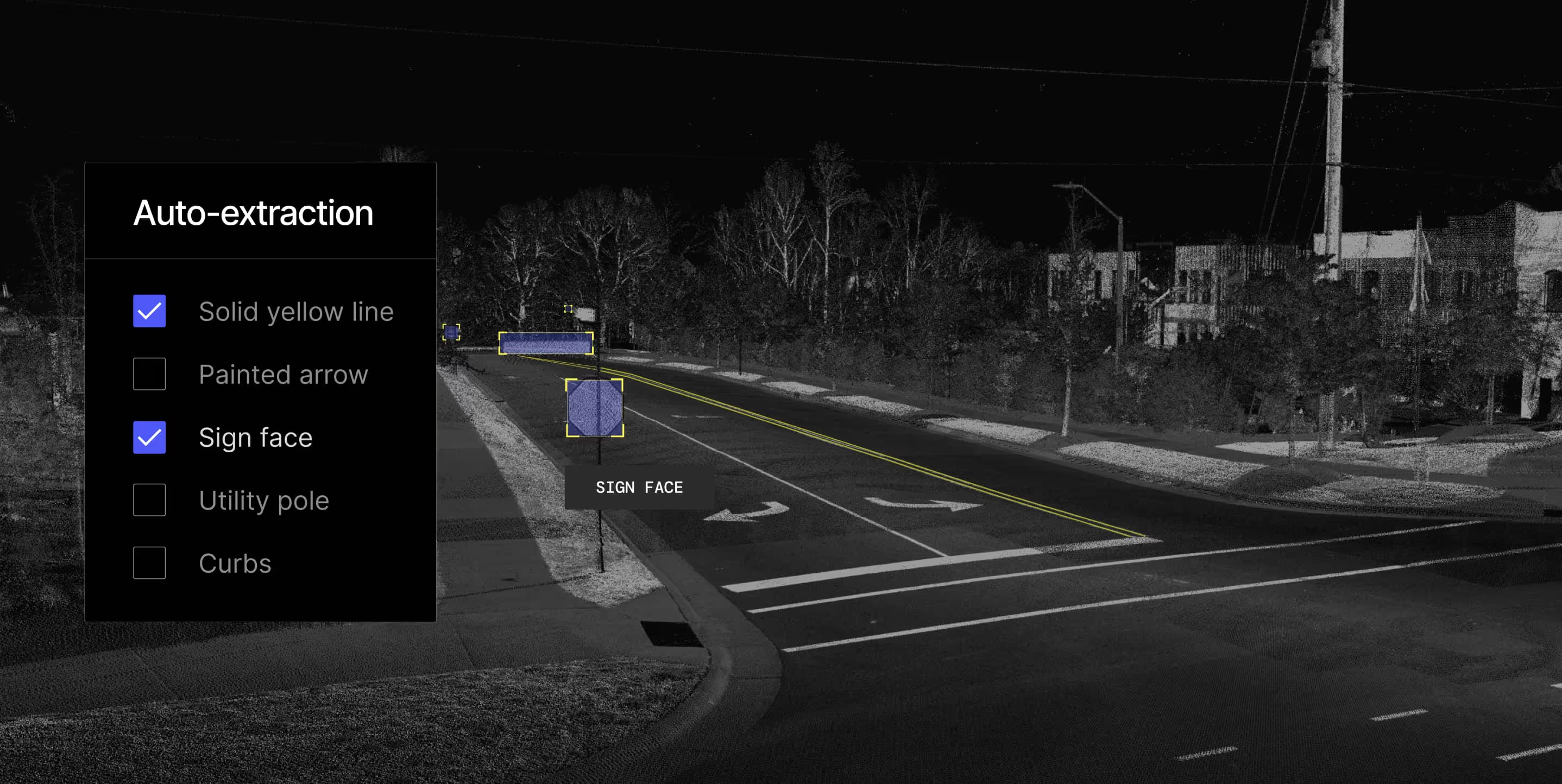
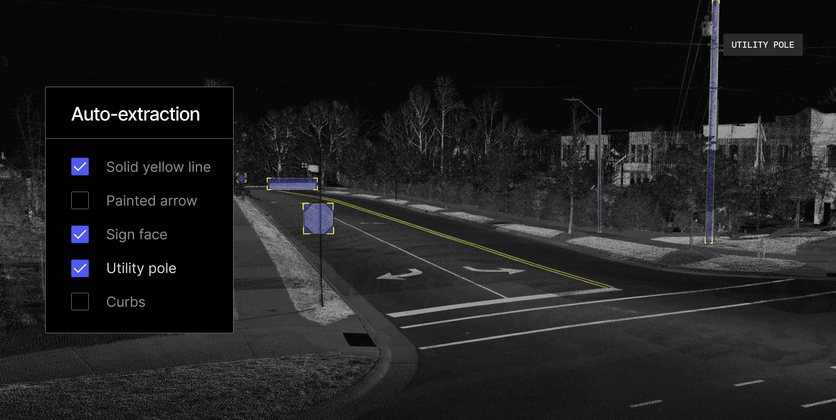
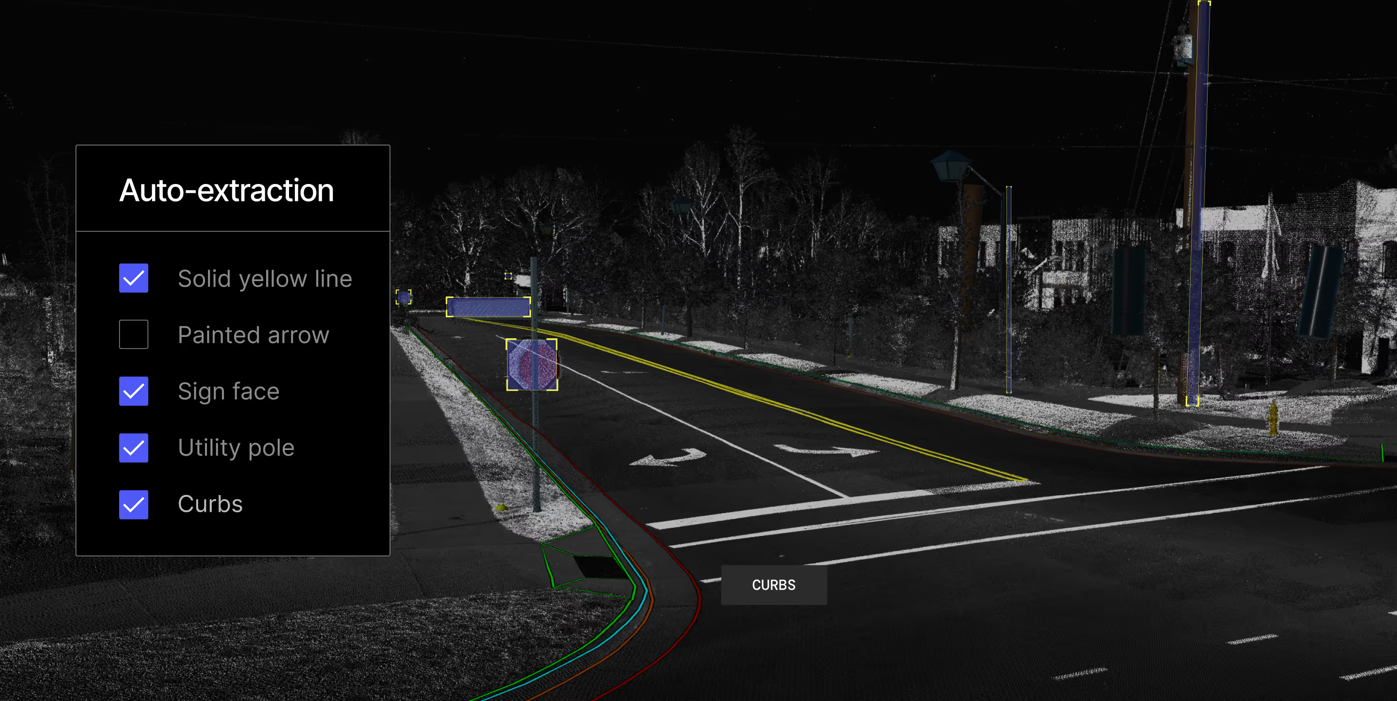
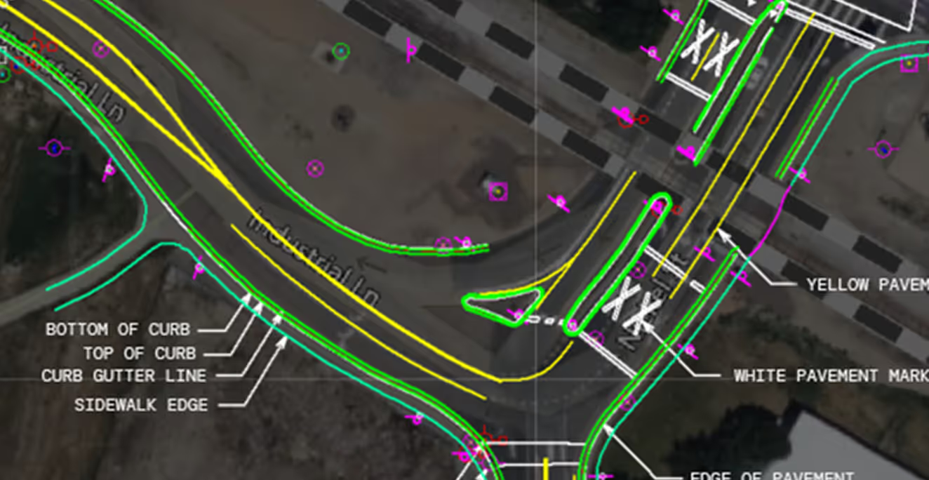
State-of-the-art ML models analyze the LiDAR data for line and point features like paint lines, curbs, and utility poles.
CAD workflows for design precision
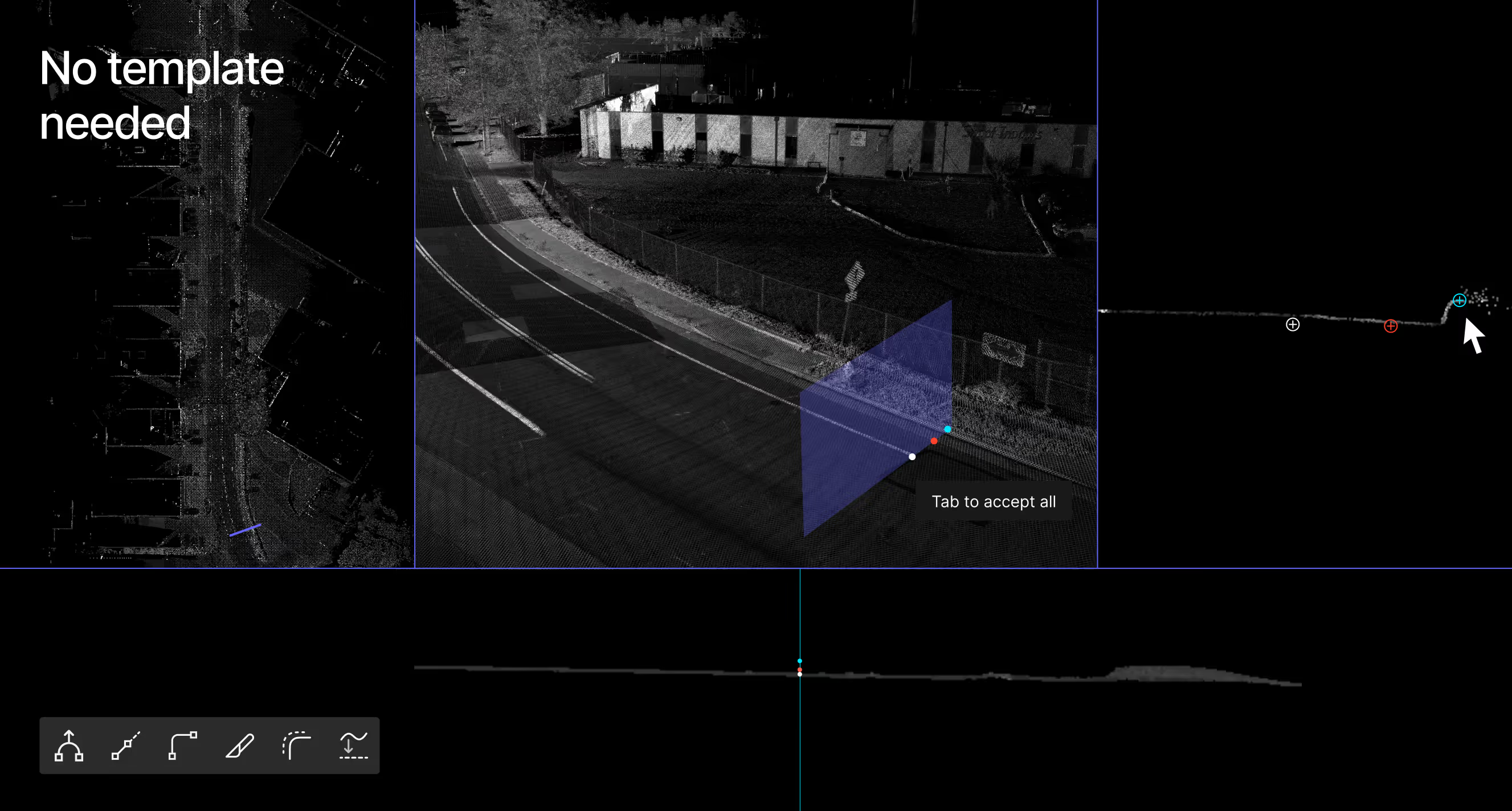
Our CAD platform is built for technicians with the automation-assisted-extraction and manual tools needed to draft accurately at scale.


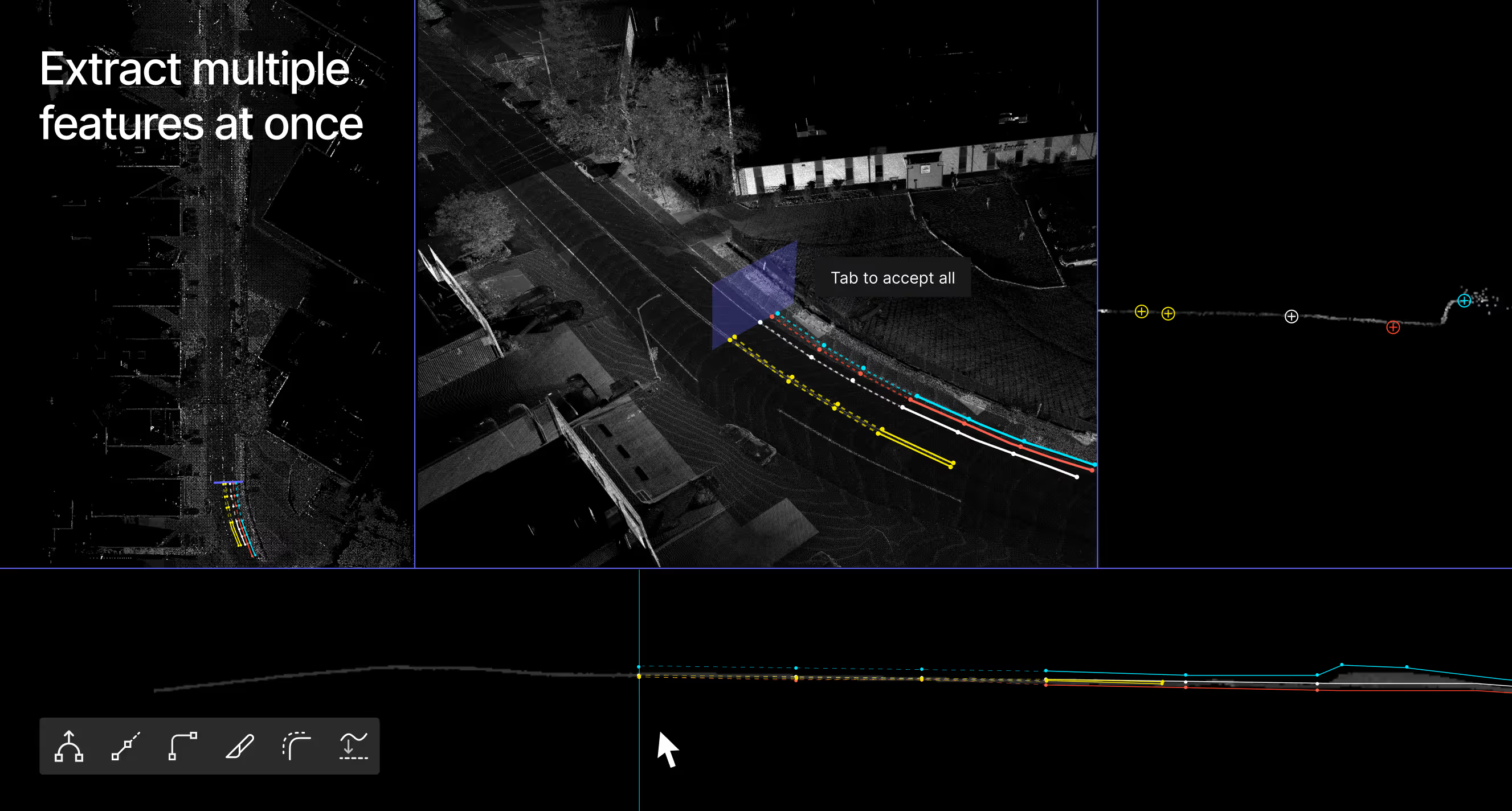
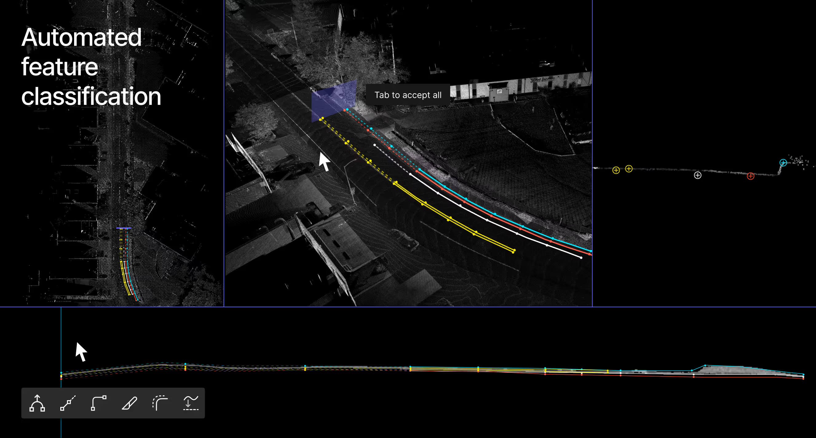
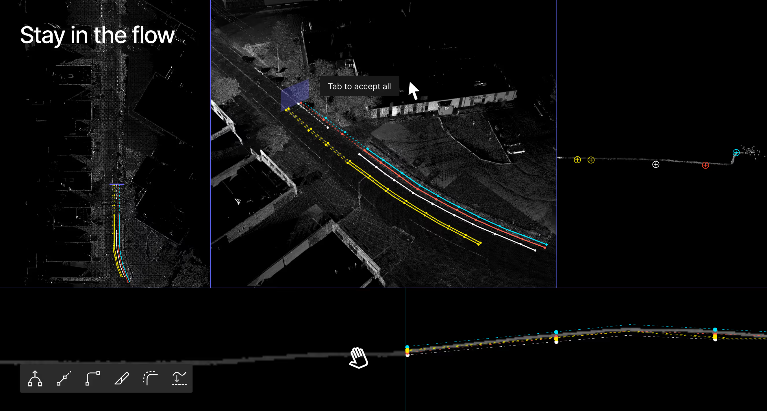
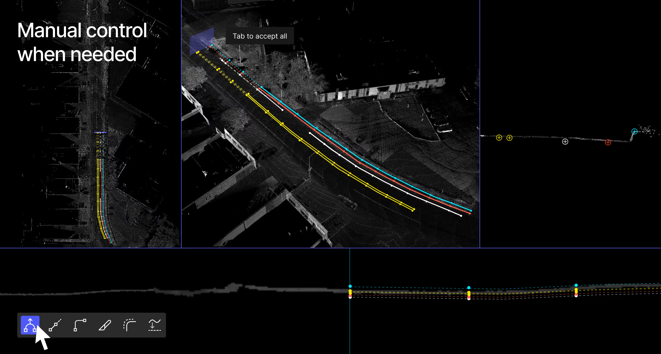
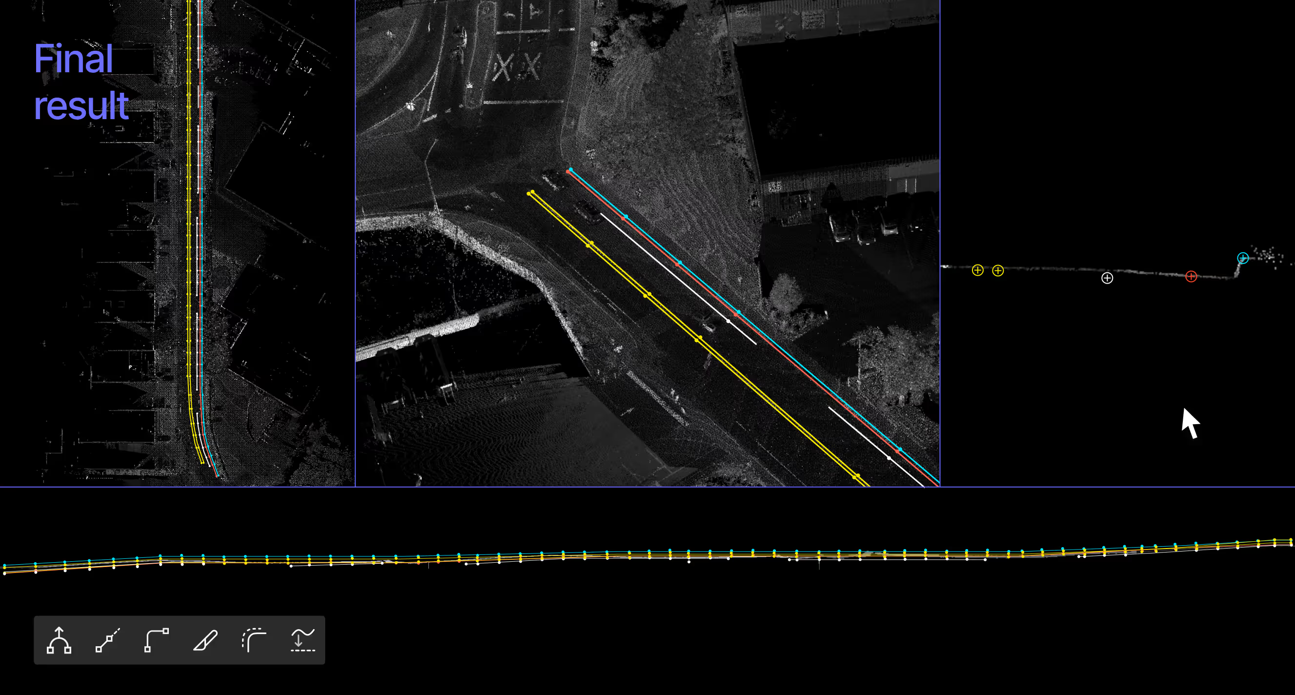
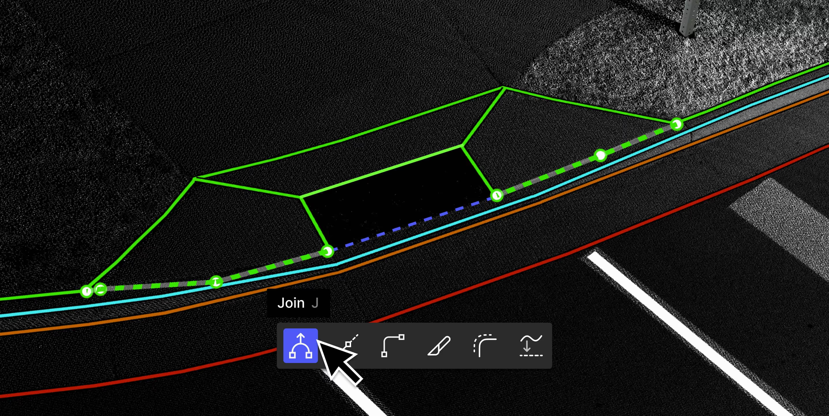
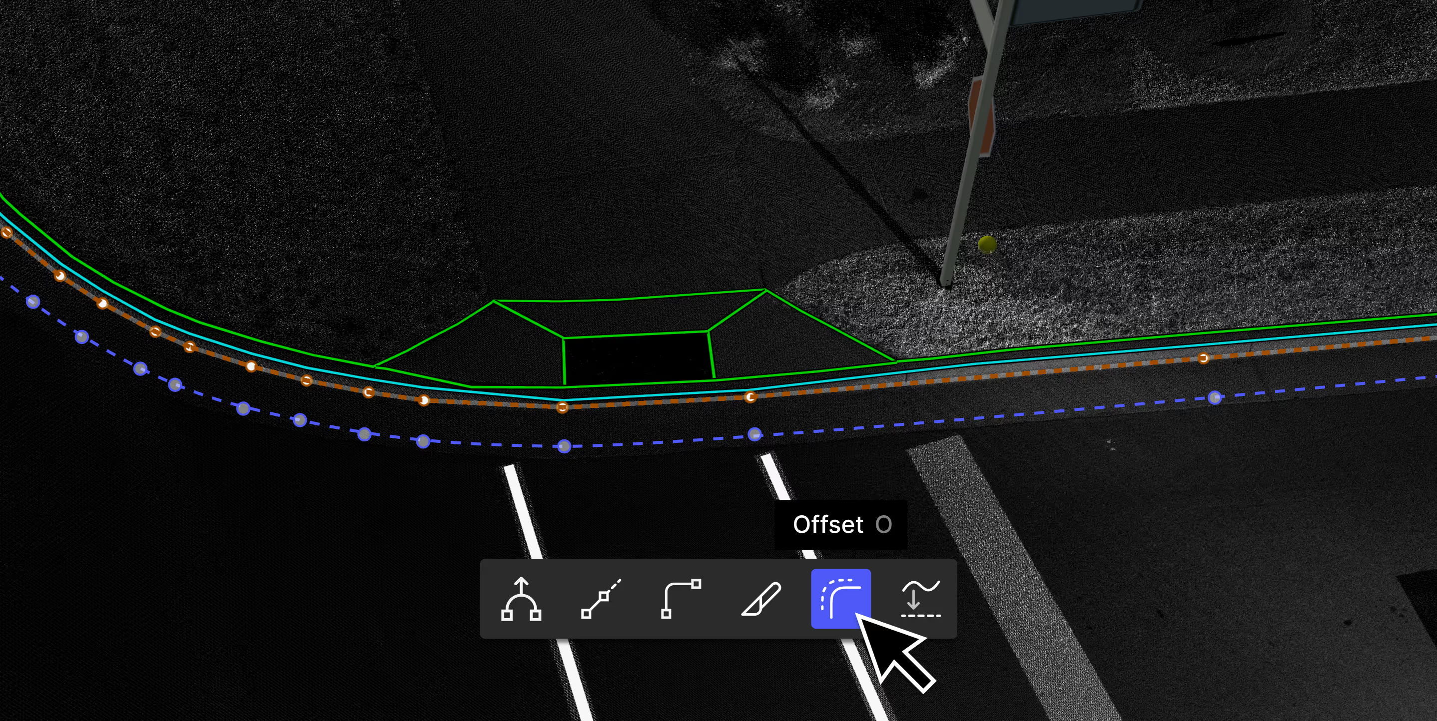
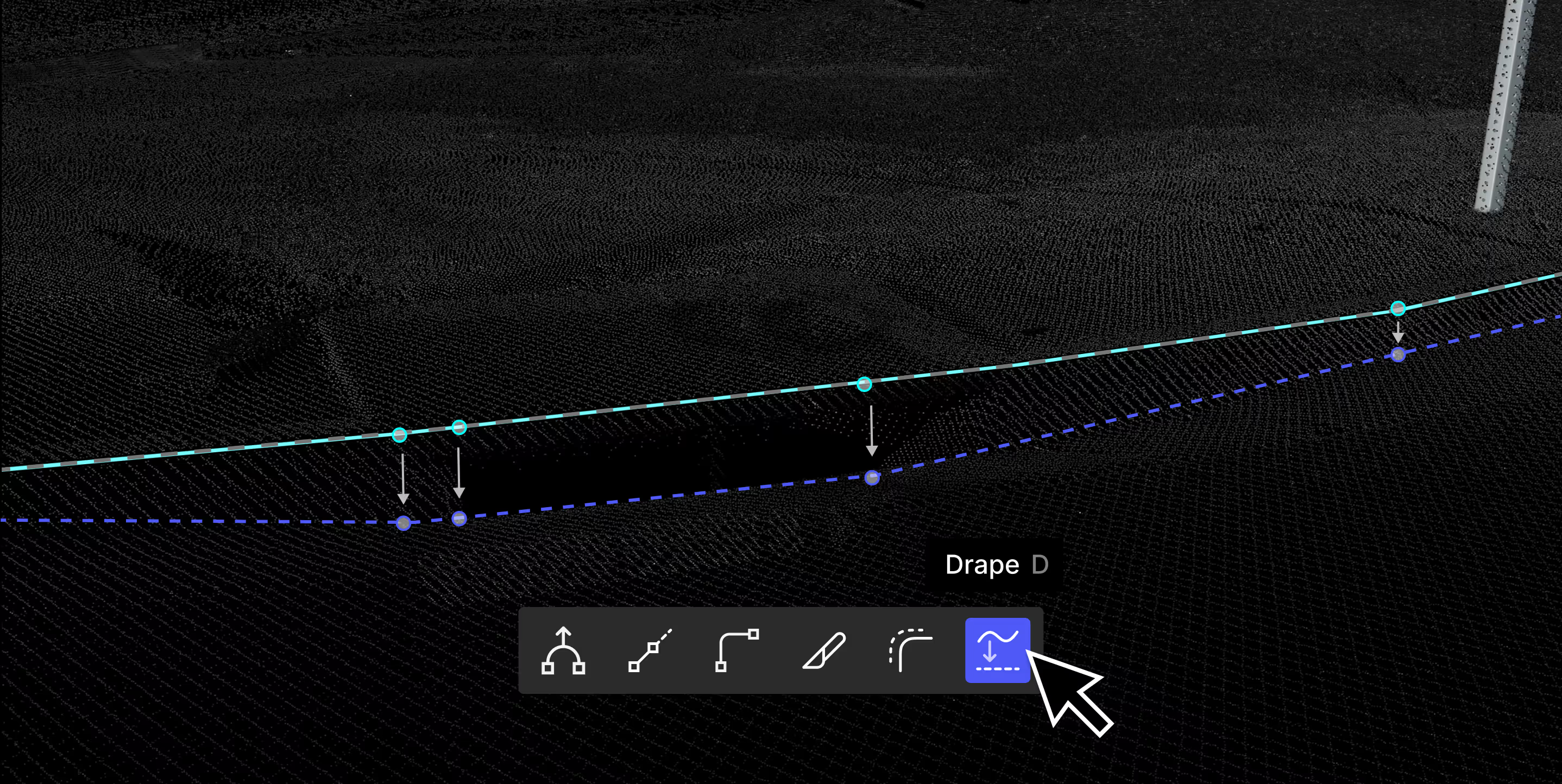









%20(1).png)




Case studies

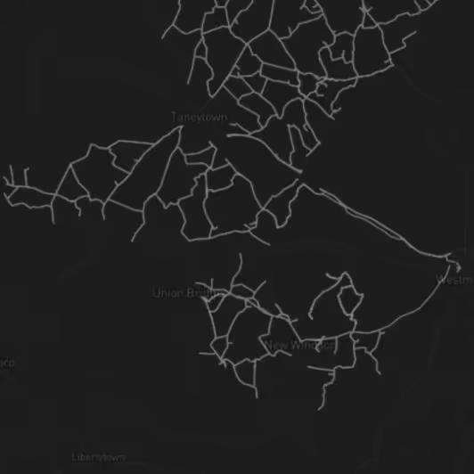
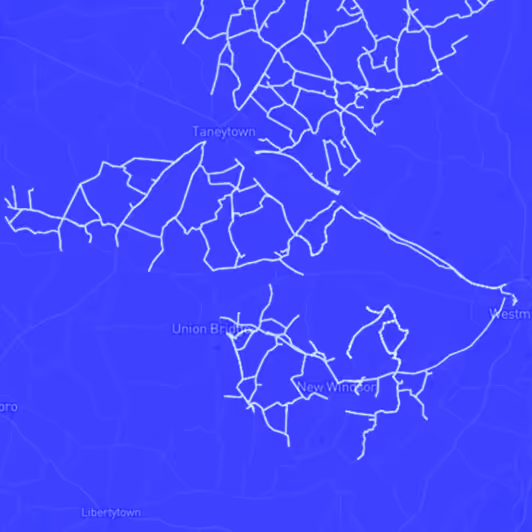
Streamlining Rural Broadband Design and Permitting with Automated Asset Extraction


Delivering End-to-End Topographic Surveys with Digital Surveyor

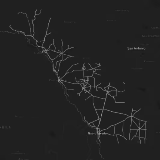
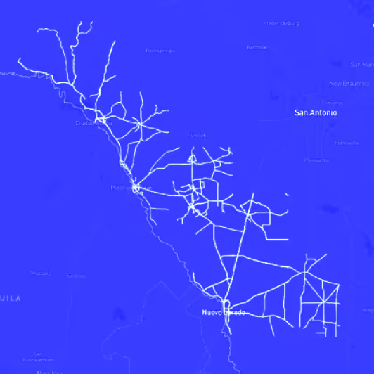
Transforming Roadway Assets into Actionable Data for State Transportation Agencies

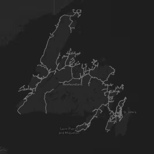

Accelerating Make-Ready Fiber Assessments with Automated Feature Extraction
Supported scanning systems
Digital Surveyor works with the data you collect





Ready to deliver projects faster than ever before?
Cut down the time and cost of 3D mapping without sacrificing accuracy
