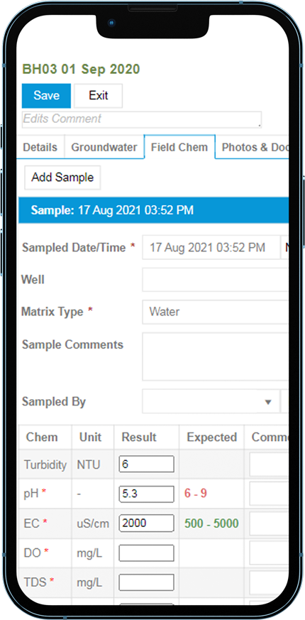
With ESdat, you can more efficiently analyze, report and share data while ensuring the highest level of quality control.
ESdat has fast, customizable dashboards to flag data of interest and provide direct navigation to the details.
Chemistry summary tables show analytical results compared against environmental standards. Data can be filtered by Laboratory Report, Location, Date Range, and more.
ESdat allows rapid map-based querying as well as the generation of exceedance tables.
Get consistent and verified data from source to destination with built-in data validation tools.
ESdat provides a full solution for managing borehole, geology, and groundwater data.
Be notified of any exceedances as soon as results are received.
Overdue lab reports, upcoming or missed monitoring events, and more.
Mins, maxs, standard deviations, 95th percentiles, and other common statistics.
Export to ProUCL for further statistical analysis.
Extend your data visualization and integration with ESdat data feeds to
Share selected data with the public on a customizable web portal. Read More
Connect field instruments to capture ongoing data, such as weather, dust, water level, and water quality. Read More
Multiple stakeholders may require access to a single shared dataset.
Give others permission to view, add, or edit data for specific projects or sites.
The ESdat Field App runs offline on any PC, Tablet, or Smartphone. You can optionally pre-plan your field program and sampling using Field Management.
The Field Form supports industry-specific data collection, such as groundwater stabilization records, and can also be configured to capture any additional data.
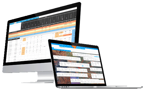
View all your monitoring locations, calculate their distance from you, and view sampling point photographs of previous results.