Aviso Especial Marítimo continúa Aguas desde el Puerto Aransas hasta el Canal de Navegación de Matagorda desde 20 hasta 60 MN y Aguas desde la Bahía de Baffin hasta el Puerto Aransas desde 20 hasta 60 MN hasta las 5:45 AM CDT
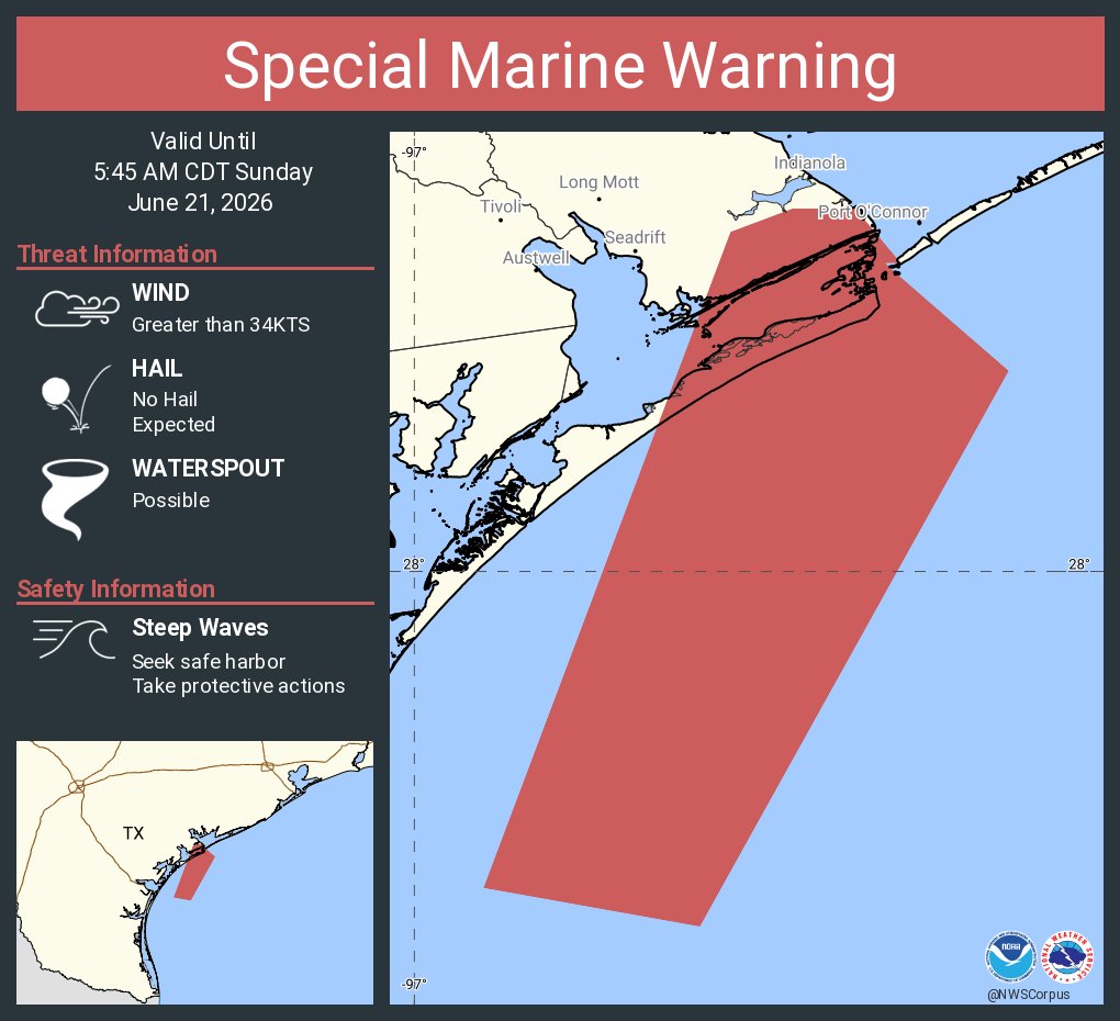
Special Marine Warning continues for the Waters from Port Aransas to Matagorda Ship Channel from 20 to 60 NM, Waters from Baffin Bay to Port Aransas from 20 to 60 NM and Coastal waters from Port Aransas to Matagorda Ship Channel out 20 NM until 5:45 AM CDT
Aviso Especial Marítimo incluye Aguas desde el Puerto Aransas hasta el Canal de Navegación de Matagorda desde 20 hasta 60 MN y Aguas desde la Bahía de Baffin hasta el Puerto Aransas desde 20 hasta 60 MN hasta las 5:45 AM CDT
Special Marine Warning including the Waters from Port Aransas to Matagorda Ship Channel from 20 to 60 NM, Waters from Baffin Bay to Port Aransas from 20 to 60 NM and Coastal waters from Port Aransas to Matagorda Ship Channel out 20 NM until 5:45 AM CDT
Special Marine Warning including the Coastal waters from Port Aransas to Matagorda Ship Channel out 20 NM, San Antonio, Mesquite and and Espiritu Santo Bays until 3:45 AM CDT
Special Marine Warning including the Coastal waters from Port Aransas to Matagorda Ship Channel out 20 NM, San Antonio, Mesquite and and Espiritu Santo Bays until 4:00 AM CDT
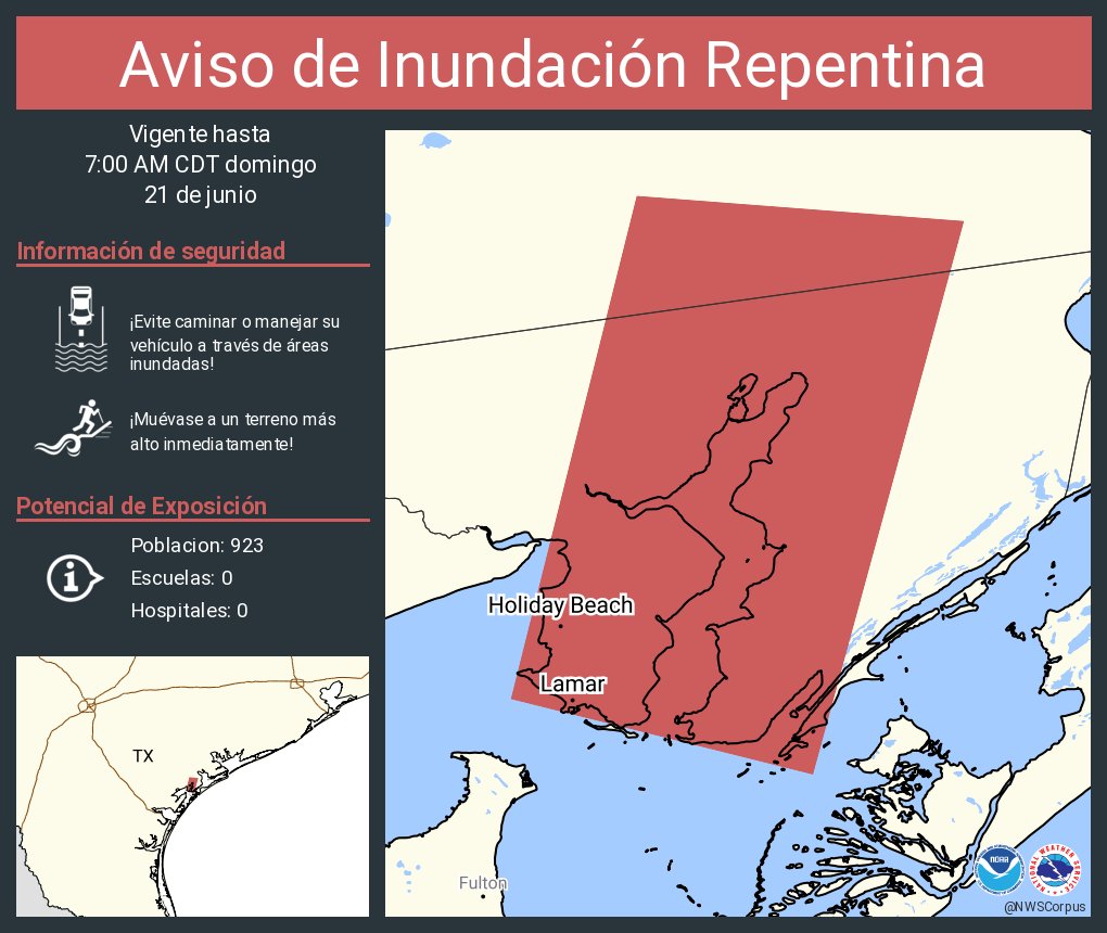
The Weather Prediction Center has upgraded today's Marginal (level 1 of 4) Risk of Excessive Rainfall to a Slight (level 2 of 4) Risk of Excessive Rainfall. The ground remains nearly saturated from recent rains, so it wont take much rain for flash flooding to occur.