The latest US Drought Monitor, issued Thursday, June 18th, 2026, indicates drought conditions deepening across south central and southeast Colorado. #cowxweather.gov/media/pub/DGT/…
A return of hot weather is expected into the upcoming weekend, with temperatures approaching 100 degrees again over the lower Arkansas River Valley on Saturday. Otherwise, isolated to scattered PM showers and thunderstorms are expected, with a few becoming strong to severe.#cowx
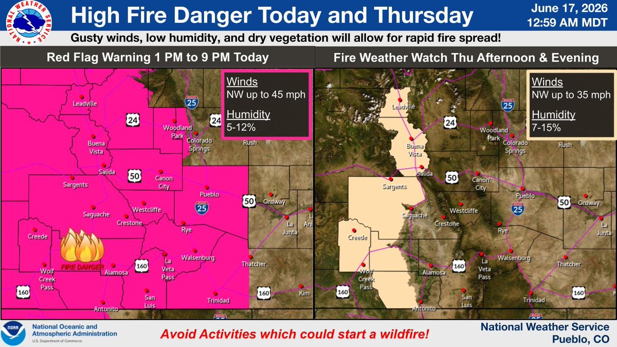
Hot temperatures and gusty winds on Saturday will bring a return of HIGH FIRE DANGER to much of southern CO. Please avoid activities which could start a wildfire. #cowx
Expect a nice break from the heat today but it will be short lived as we warm back up into next weekend. Saturday will be the hottest day with a return of 100 degree heat across the southeast plains. High Fire Danger will continue today across the Lake and Chaffee Counties. #cowx
A brief break from the heat is expected Thursday. Temperatures warm right back up again Friday into the weekend. Hot, dry and high fire danger conditions return by Saturday. Thunderstorm chances will finally increase again next week as well. #cowx
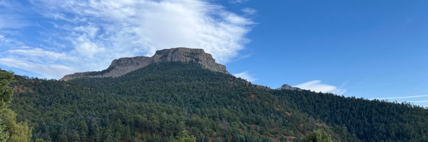
Fire Danger will be high in the Upper Arkansas River Valley tomorrow. Gusty winds and dry conditions will result in rapid fire spread. Use extra caution to avoid fire starts. Other mountainous areas could have local areas of high fire danger as well. #cowx
At 218 pm, the temperature hit 103F in Pueblo, Colorado. This ties the record high temperature for June 17th, set in 2021. However, with several more hours of heating, this record may still be broken. #cowx
At 217 pm, the temperature in Colorado Springs hit 98 degrees. This sets a new record high temperature for June 17th, surpassing the previous record of 97F set in 2021. With several more hours of heating, this record may be broken again. #cowx
A brief break from the heat can be expected for Thursday, though high fire danger will continue for the Continental Divide. Temperatures warm again with hot, dry and high fire danger conditions return for Saturday. Thunderstorm chances increase again next week. #cowx
Fire Danger will be high in and near the mountains today. Use extra caution to AVOID fire starts as gusty winds and dry conditions will result in rapid fire spread. Conditions will return across the central and southwest mountains on Thursday while the plains cool off. #cowx
It will be a scorcher across southern CO today, especially across the SE plains. Record to near record high temperatures expected with Heat Advisories posted for El Paso, Pueblo and eastern Fremont counties. Take care to avoid heat exhaustion, and keep your pets cool too! #cowx