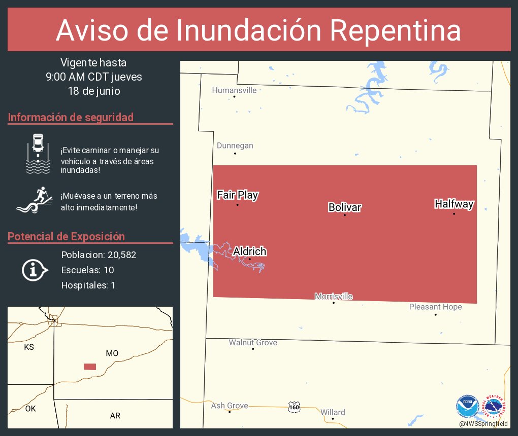
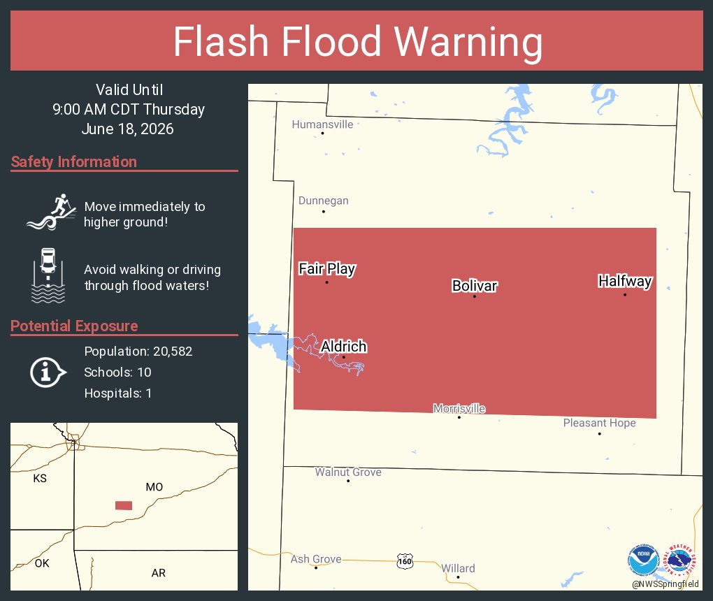
The Ozarks will see several chances of rainfall beginning as early as Saturday morning and lasting through Monday morning. Currently, the best chances of widespread heavy rain exist on Sunday, with the majority of the area showing 60-75% chances of at least an inch of rain.