[5:30 AM - 6/16/26]
A few strong to severe thunderstorms are possible this afternoon across far NE OK & NW AR. Additional severe weather chances are expected Wednesday & Thursday. Potential hazards include large hail, damaging winds, & flash flooding. #okwx#arwx
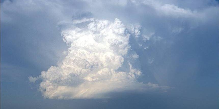
[4:45 PM 6/15/26] - A marginal to slight risk for severe storms will exist late in the day Wednesday across portions of northeast Oklahoma as a frontal boundary works into the area. Large hail and damaging winds will be the main concerns. #okwx#arwx
[7:10 PM - 6/14/26] We will dry out some the next couple of days. However, rain and storm chances are back in the forecast by mid-week, especially by Thursday. #okwx#arwx
[11:38A - 6/14/26] We will dry out some the next couple of days. However, rain and storm chacnes are back in the forecast by mid-week, especially by Thursday. #okwx#arwx
[9:00 AM - 6/14/26] Moderate to occasional heavy rain continues to push southward this morning across SE OK. Additional rainfall amounts up to 1 inch will be possible before rain moves out by midday. Localized flooding will be the main concern through the morning. #okwx#arwx
[6:27 AM - 6/14/26] Radar Update: Much of the heavy rain has moved out of E. OK and NW AR. Lingering moderate to occasionally heavy rain will persist across SE OK this morning. Localized flooding will remain a concern through south of I-40 through late morning. #okwx#arwx
[2:50 am - 6/14/26] A line of strong storms continues to push southward across eastern Oklahoma and western Arkansas. Localized areas may be occasionally severe early Sunday morning. Heavy rain and flash flooding will remain possible, too. #okwx#arwx
[1:30 am - 6/14/26] A line of strong to locally severe thunderstorms capable of producing mainly wind gusts to 60 mph continues to move to the southeast early Sunday morning. Heavy rain, flash flooding will also be a concern. A Severe Storm Watch continues thru 5 am. #okwx#arwx
[12 AM - 6/14/26] A line of strong to severe thunderstorms continue to surge to the south and southeast across northeast #OKwx and northwest #ARwx. Damaging winds and flash flooding potential are the greatest concerns, but isolated, fast-developing tornadoes could occur.