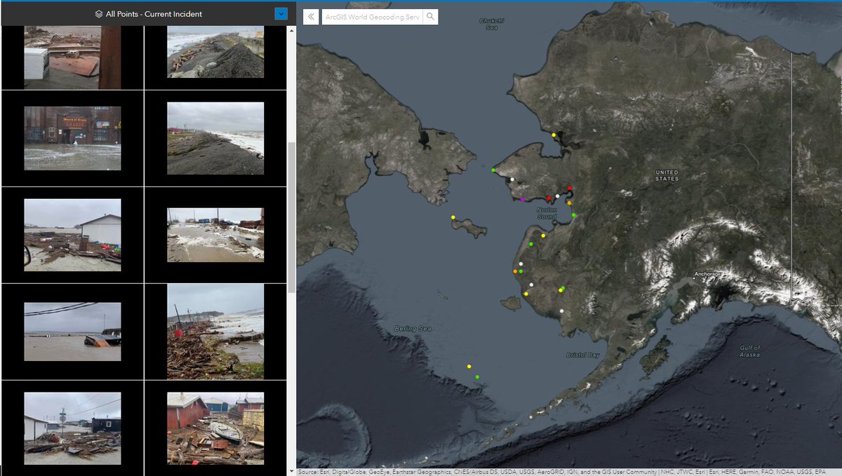
Story Map of #Florence Crowdsourced Photos -- 800+ damage & flood photos on a map. See impact just by zooming in. We hope this is helpful in #recovery efforts & ongoing #rescue operations. Thank you @GISCorps@nzgis4em for supporting this mission! Map: bit.ly/2018HurricaneP…
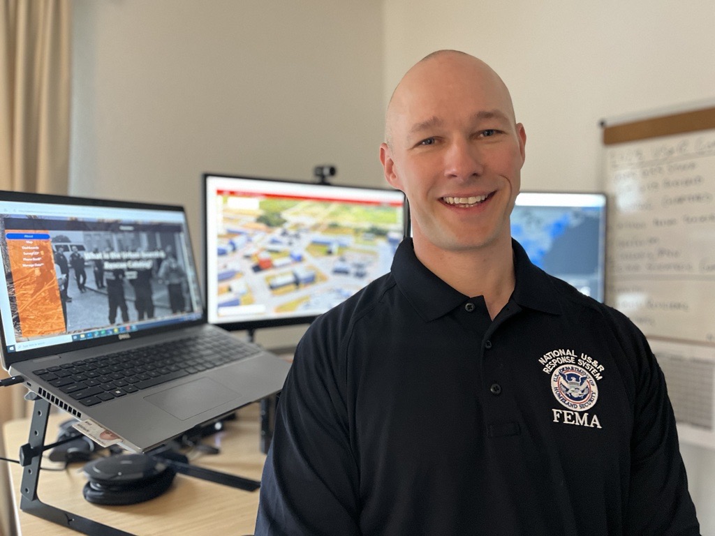
#WorkforceWednesday goes to @fema Geospatial Specialist, Paul Doherty! His expertise in emerging technologies helps first responders use mapping technology to search for survivors & bring them to safety. Paul is just one of many professionals using their skills to help others.
#PhotoMappers are AMAZING! 240+ photos mapped for #Merbok in Alaska and #Fiona in Puerto Rico. They are providing situational awareness and damage observations to support response and recovery for these communities that have been severely impacted.
@GISCorps@CEDRdigital
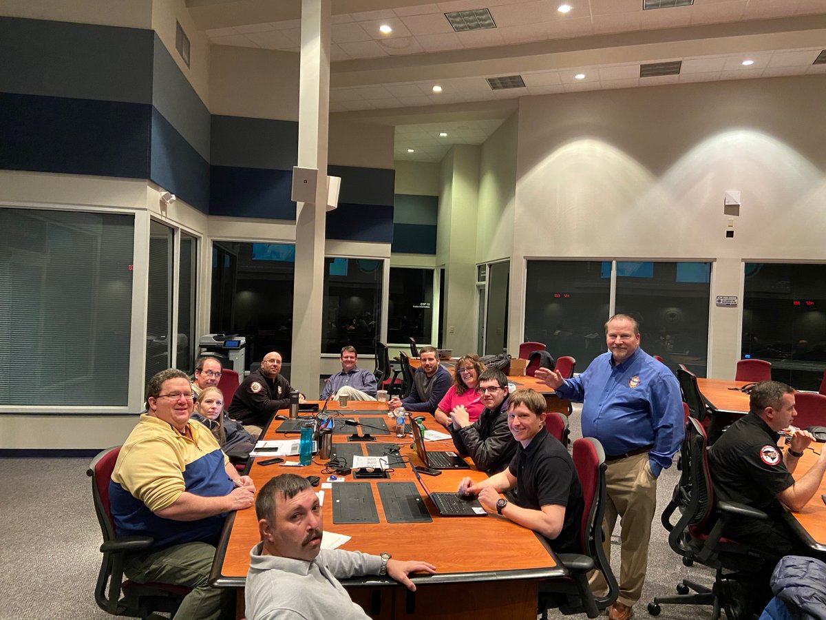
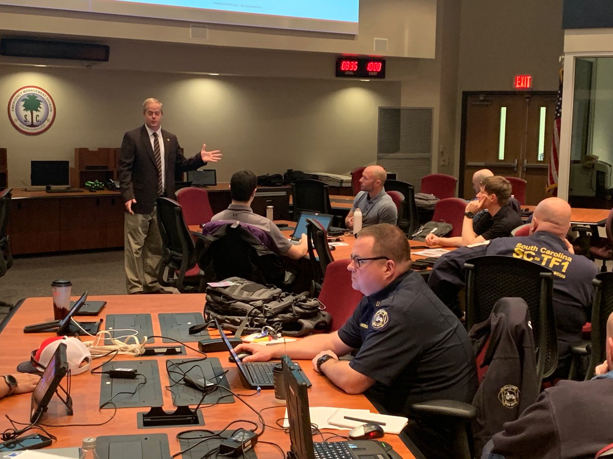
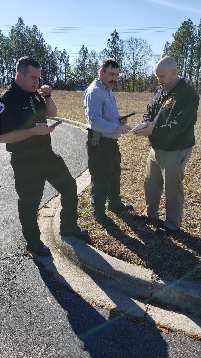
20+ Emergency Managers, GIS Staff & First Responders have come together to evaluate the use of existing situational awareness tools in the context of emergency operating procedures across entities and jurisdictions. #Survey123@DHSSciTech@IAFC@DHSgov@SCEMD@Esri
Check out this nationwide map containing links to official public safety websites, alert websites, and social media pages for every county and large city in the United States.
Access the Crisis Communication Catalog hub site -- ccc-napsg.hub.arcgis.com.
NAPSG Foundation joined forces with the National States Geographic Information Council (NSGIC) and the Urban Regional Information Systems Association (URISA) to establish the #Pandemic GIS Task Force. Learn more: ow.ly/kIKV50zHHlR
NAPSG Foundation's own 𝗔𝗱𝗮𝗺 𝗙𝗮𝗰𝗸𝗹𝗲𝗿 responded to the KY Floods as a member of MO-TF1. He supported the use of geospatial tools, including the Search and Rescue Common Operating Platform (SARCOP), for his task force.
sargis.napsgfoundation.org@BooneCountyFire#GIS