

From laser scanning systems
to site intelligence
NavVis provides dynamic laser scanning systems and a browser-based platform that transform real-world sites into accessible, actionable digital spaces.
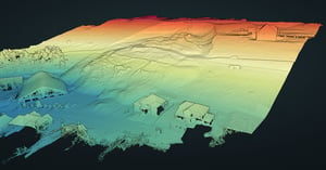
From everyday documentation to large-scale 3D mapping, our solutions help professionals in surveying, AEC, and manufacturing capture reliable site data, process point clouds, create digital twins, and collaborate with confidence.
Dynamic laser scanners
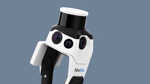
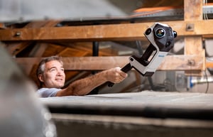
Capture the built world with speed, confidence, and the right level of detail for the job. The NavVis LX-Series brings together handheld and wearable dynamic laser scanners for a wide range of reality capture workflows, from everyday site documentation to high-accuracy surveying and large-scale 3D mapping.
Whether you need a simple way to document existing conditions, a flexible handheld scanner for demanding environments, or a professional wearable system for capturing at scale, NavVis helps you move faster from site to reliable, shareable spatial data.
Everyday reliability
An agile, handheld reality capture device purpose-built for high-volume, everyday documentation workflows.
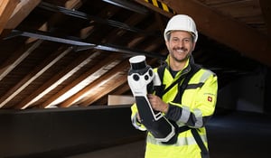
Redefining handheld reality capture
A professional and versatile handheld reality capture device that delivers outstanding data quality, ideal for confined spaces and frequent scans.
Learn more
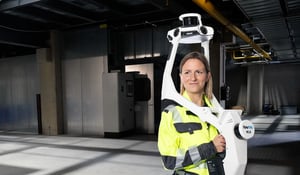
The cornerstone of reality capture
The industry-leading wearable reality capture device for highly detailed, comprehensive and accurate indoor and outdoor reality capture.
Learn moreSoftware
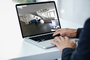
With its user-friendly design, NavVis IVION transforms point clouds into web-based intelligent spaces using intuitive tools for creation, collaboration, and publication. NavVis IVION streamlines workflows, reduces the effort to generate reliable reality capture data, and speeds up model creation and verification. Stakeholders can visualize site information and make informed decisions based on updated site conditions. Remote collaboration tools enhance planning, engineering, and operations.
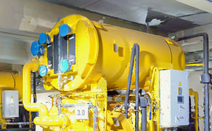
Quick, seamless processing of real-world conditions for trusted results.
Learn moreOne tool to accurately align, refine, and manage point clouds and panoramas.
Learn moreCapture and convert real-world site conditions into accurate, BIM-ready documentation – streamlining planning, modeling, and collaboration.
Learn moreVisually compare 3D models, point clouds, and panoramic images within NavVis IVION.
Learn morePlan projects with confidence using up-to-date site information. Provide teams with digital views of sites – accessible anytime, from anywhere.
Learn moreA shared source of truth for smarter conceptual planning – built on real-world data.
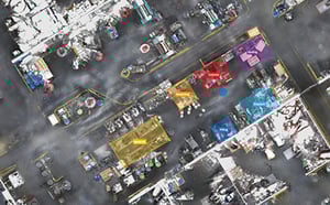
Learn moreAccelerate documentation, reduce rework, and streamline construction verification with NavVis reality capture technology and virtual site access.
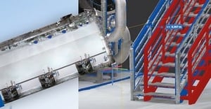
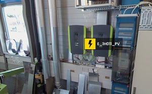
Learn moreTurn facilities into a data-rich environment where assets, issues, and insights are visible, actionable, and always up to date.
Learn moreSee NavVis VLX 3 in action!
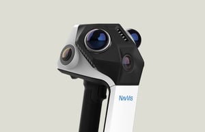
NavVis dynamic laser scanning technology
The NavVis LX-Series, including NavVis CLX, NavVis MLX, and NavVis VLX 3, delivers advanced laser scanning for surveyors and reality capture professionals, and teams documenting buildings, facilities, and infrastructure.
NavVis scan data is the foundation. NavVis IVION is the engine that turns that data into accessible, web-based spatial intelligence. Together, NavVis hardware and software help professionals in surveying, AEC, automotive, and process industries capture real sites, process point clouds, create digital twins, and work from a shared source of truth.
From everyday documentation to large-scale 3D mapping, NavVis helps teams move faster from physical spaces to reliable, shareable spatial data.
Learn more about laser scanning
and a Reality Capture management platform

Customer testimonials
“Accuracy, but lightness and ultimately speed, is what makes NavVis MLX incredibly interesting for us. When we look at the point cloud, we can see the results.
We've worked a lot with other handheld devices so far, and our experiences haven't always been positive. And when I look at these small measurements that we've taken here and see how stable the data is, even just on the display without having done any post-processing, it's amazing how the geometries fit. That shows us that we have a device that comes very, very close to us in terms of surveying technology.”
"One of the first benefits is that we’re able to do big projects faster. With mobile mapping, we can travel to a site and spend one or two days instead of four or five — and that’s helping us with one issue in the industry that everyone knows about: lack of resources. Everyone’s trying to hire laser scanning professionals, and there’s a lack of people. So, we look at tools like this as efficiency gainers. We’re able to do more with what we have by buying a new tool rather than hiring another person."
"For us, 3D mapping with NavVis VLX means reduced project risks and increased confidence in planning decisions, resulting in more robust designs and less friction during project deliveries."
"For boundary and topography, it really is an excellent option. Our crews are able to spend more time on boundary and less time on topo. We can collect all of the topo information with NavVis VLX and then survey it from the office, that's an amazing advantage to us. We are able to survey larger amounts of information quickly."
"We like the NavVis IVION Add-in for Autodesk Revit. We found that we can save a lot of time when we do modeling from point cloud to BIM - we have estimated about a 10% time-saving in this process. The modeler has a clear view of what's in the building and how to model each element, taking decisions that would normally require a lot of time to translate from the field worker to the office worker. Usually, we would take a lot of pictures and hand over the information manually. But with the plug-in, we have a fully automatic way of telling what's in each room and giving a 360 photo overview - and that's a big benefit."
“We've gone through different methodologies over the years and as the technology has grown. Now, with NavVis VLX, we can race through different floor plates, sizes of buildings, and complexities without really worrying too much. NavVis VLX will handle most circumstances. So we've had a lot of success with that, and we've quickly ramped up. We now have 4 NavVis VLX in operation every day, 5 hours a day. Those scanners run and produce around 1 to 1.5 million square feet of as-built capture per week. ”