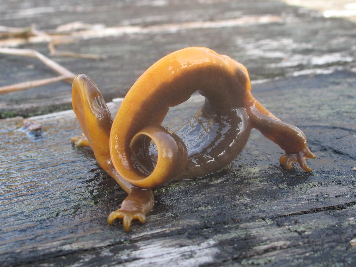
Wildlife comes in all shapes, sizes and…gymnastic abilities. 🤸♂️
For National Wildlife Day, we're highlighting this rough-skinned newt (Taricha granulosa) from the Pacific Northwest.
Rough-skinned newts are known for their bright orange bellies and their ability to produce a
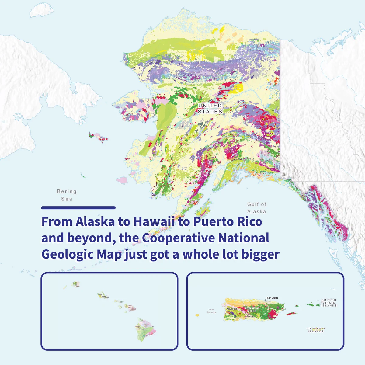
🚨 An updated view of the Nation’s geology is now available!
The USGS National Cooperative Geologic Mapping Program has expanded the Cooperative National Geologic Map to include Alaska, Hawaii, and U.S. territories.
The map brings together decades of geologic mapping by state
Gold in the trash? Not quite. But some mine waste may hold valuable minerals we need today. 🪨
Many of these minerals are essential to modern technologies and are found alongside commodities like gold, zinc, and coal. Mineral production, however, requires moving a lot of rock to
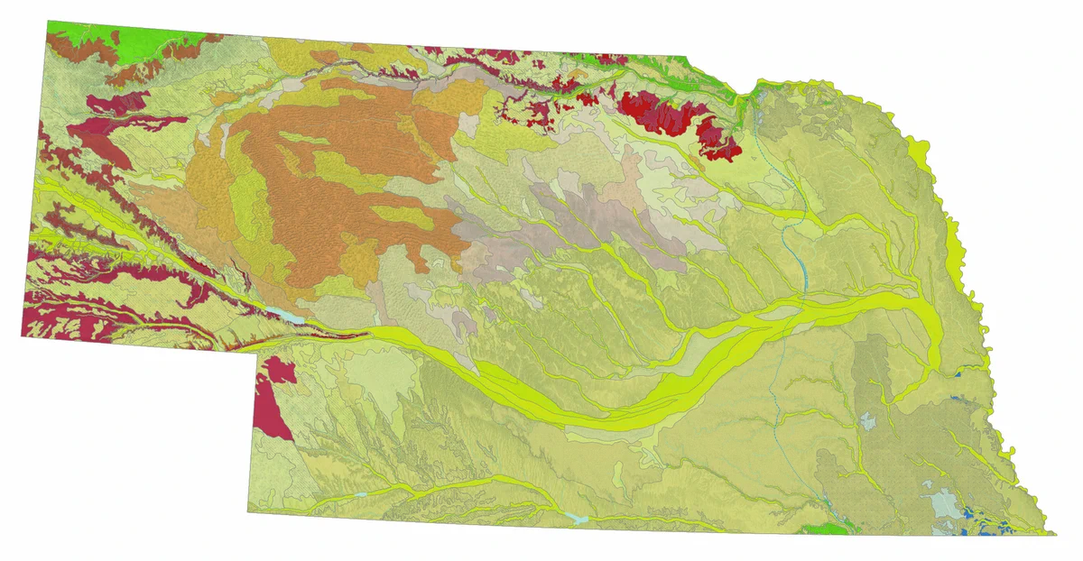
USGS and the University of Nebraska–Lincoln have released Nebraska’s first-ever statewide map of surface geology, revealing the wind-blown sand, silt and other sediments covering more than 75% of the state. The map supports aquifer, habitat, resource and geohazard research.
A year at Zion National Park, one frame at a time. 🏞️
This time-lapse captures the North Fork Virgin River with Zion’s iconic Watchman formation in the background, showing how the river and surrounding landscape change over the seasons.
USGS Hydrologic Imagery Visualization and