Devpost
Participate in our public hackathons
Devpost for Teams
Access your company's private hackathons
Grow your developer ecosystem and promote your platform
Drive innovation, collaboration, and retention within your organization
By use case
Blog
Insights into hackathon planning and participation
Customer stories
Inspiration from peers and other industry leaders
Planning guides
Best practices for planning online and in-person hackathons
Webinars & events
Upcoming events and on-demand recordings
Help desk
Common questions and support documentation
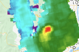
Satellite images have allowed to monitor methane leaks almost in real-time. However, accessing and inferring the methane leaks is still difficult. That project provides a tool to monitor methane leaks
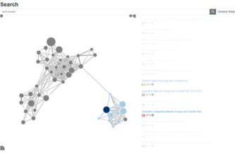
Intelligent Data Exploration Platform for laws and policies doing similarity matching based on entity recognition and topic extraction powering a graph based interface.
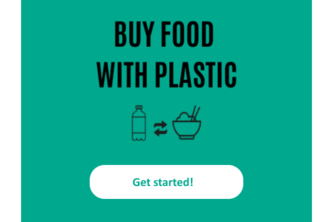
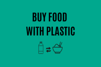
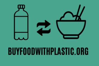
Recycle your plastic, Refill your plate!
MethaneTrack product reduces estimated 20% methane emission via accountability by linking present & past methane emissions to associated companies. Companies reducing methane emissions gain reputation
LandPro combines image segmentation with near-real time satellite data to give you a quick evaluation of any vegetated area by examining the spatial and temporal variability of vegetation.
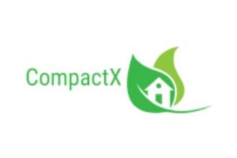
CompactX is an eco-friendly garbage bin and compactor which makes waste easier to transport. Its IoT sensors facilitate waste level detection and fire handling which make CompactX safe.
HIII we are the platypusses :)
Querying and understanding climate policy texts made easy
"If you want to see a change in the world, become the change yourself."
Your information help to protect & secure the most vulnerable groups among us. With openDATA for RGA (Rapid Gender Analysis) Actionplans can Humanitarian Action make a better Impact in Gendered Crisis
Poli Radar is an Azure search engine based on the legislation documents and added cognitive skills upon it allowing to perform full-text research by expressing a request in a natural language.
The purpose of this project is to empower BFWP by creating an application to streamline the creation of their impact reports. We aim to encourage transparency and support their cause!
A Lens on Climate Policy
Implemented in Google Earth Engine
The idea is to provide replace the traditional method of collecting data with webpage/app and provide some useful analysis to create an impact and quick decision making during the crisis.
We find joy in using green-technologies and respect any environment-friendly initiatives, so we are happy to bring a digital solution for easing the lives of people who live in harmony with nature.
LIMITNESS IMAGINATION CUM INNOVATION
Solving Complex Problems Together
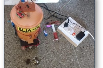
My projects is based upon AR Drone 2.0 and used python and other API libraries along with Azure Cognitive services to detect fire
Castus is a web service that provides a live map that shows location of high-density areas of plastic at ocean, rivers, and seas. Using Satellite based algorithms, and mathematical modelling.
Our solution supports a swiss biodiversity project to gain new insights into their biodiversity measures like nesting boxes for local species. Everything based on the power of the internet of things.
1 – 21 of 21