1. X
  2. airnow
Log inSign up
airnow
U.S. EPA
5,789 posts
airnow profile banner
user avatar

airnow

U.S. EPA
@AIRNow
Providing the public national air quality info. and real-time AQI conditions for over 400 cities across the US. Neither RTs nor @mentions imply endorsement
Research Triangle Park, NC
airnow.gov
Joined January 2009
249
Following
9,664
Followers
RepliesRepliesMediaMedia

Log in or sign up for X

See what’s happening and join the conversation

Continue with phone
or
Log in with username or email
Terms·Privacy·Cookies·Accessibility·Ads Info·© 2026 X Corp.
  • Pinned
    user avatar
    airnow
    U.S. EPA
    @AIRNow
    Jan 8, 2025
    If you’re impacted by the #EatonFire or #PacificPalisadesFire, be sure to first follow the instructions of local emergency management officials – stay tuned to local news in case you are asked to evacuate. 🧵
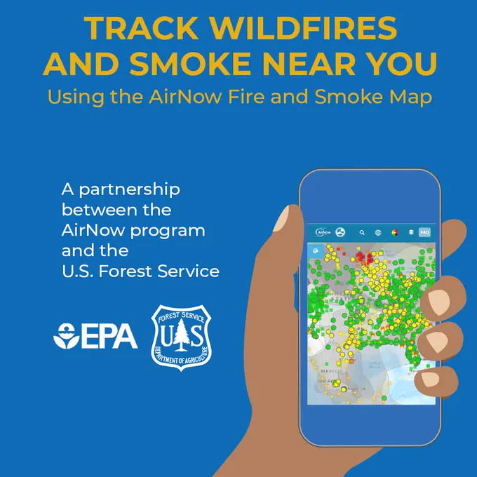
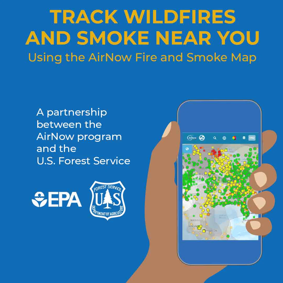
    "Track Wildfires and Smoke Near You Using the AirNow Fire and Smoke Map. A partnership program between the AirNow program and the U.S. Forest Service." A hand holding a smartphone using the AirNow app with the Fire and Smoke Map on the screen. EPA logo and U.S. Forest Service logo.
    Chequee los incendios y el humo cerca de usted usando el Mapa de Incendios y Humo de AirNow. Una asociación entre AirNow y el Servicio Forestal de EE. UU.” Una mano sosteniendo un teléfono inteligente utilizando la aplicación de AirNow con el Mapa de Incendios y Humo en la pantalla. El logotipo de la EPA y el logotipo del Servicio Forestal de EE. UU.
  • user avatar
    airnow
    U.S. EPA
    @AIRNow
    Jun 27, 2025
    📍 #WildfireSmoke from the numerous wildfires in Alaska continue to impact air quality and the U.S. Interagency Wildland Fire Air Quality Response Program has issued a smoke outlook. Click anywhere within the blue box on the map to learn more: outlooks.airfire.org/outlook/e16e3f… 🧵
    A screenshot of a smoke outlook in Alaska on AirNow's Fire and Smoke Map at approximately noon EST on June 27, 2025. The blue box is the smoke outlook and within its bounds, monitors display codes green and yellow.
    "Track Wildfires and Smoke Near You Using the AirNow Fire and Smoke Map. A partnership program between the AirNow program and the U.S. Forest Service." A person uses the Fire and Smoke Map in the AirNow app. EPA and U.S. Forest Service logos.
  • user avatar
    airnow
    U.S. EPA
    @AIRNow
    Jun 11, 2025
    📍 #WildfireSmoke from Canada continues to impact Montana, North Dakota, and the upper Midwest today.🧵
    AirNow Fire and Smoke Map at 8:45 a.m. EST on June 11, 2025. Code Purples and Red in Montana and North Dakota, surrounded by code oranges and yellows in the upper Midwest and northern great plains.
  • user avatar
    airnow
    U.S. EPA
    @AIRNow
    Jun 6, 2025
    Looking for real-time air quality information on your phone? Download the free (and ad-free!) AirNow app to see air quality conditions in your area. airnow.gov/airnow-mobile-…
    A person checking the current air quality in Durham, NC on the AirNow app.
    Instructions for downloading the AirNow app on your mobile device. Smartphone icon: "Head to your phone's app store and search AirNow to download. Fire icon: "click the smoke icon on the bottom right of the app." Smartphone and magnifying glass icon: "zoom in or search for your city or ZIP code for smoke and fire information near you." Globe icon: "click or tap the globe icon in the top bar to select español." AirNow logo. Interagency Wildland Fire Air Quality Response Program logo.
  • user avatar
    airnow
    U.S. EPA
    @AIRNow
    Jun 6, 2025
    Everyone can reduce their exposure to wildfire smoke. ✅Check your air quality at fire.airnow.gov. Wildfire smoke levels can change rapidly during the day, so check often. ✅Enter your ZIP code to see conditions in your area and steps to protect yourself & loved ones. 🧵
    "Track Wildfires and Smoke Near You Using the AirNow Fire and Smoke Map. A partnership program between the AirNow program and the U.S. Forest Service" A hand holding a smartphone using the AirNow app with the Fire and Smoke Map on the screen. EPA logo and U.S. Forest Service logo.
Advertisement
Advertisement