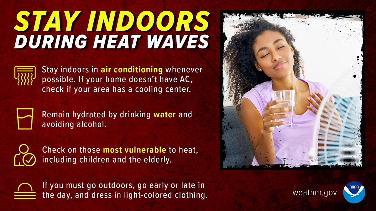
Over the next seven days, though the southeast will see a bit of relief from the heat later on, Texas and Oklahoma will remain dangerously hot through the duration. Red/Purple on these maps are where heat will be dangerous to ANYONE without cooling/hydration. Take proper
Official X account for @NOAA's National Weather Service.
A list of official NWS accounts can be found at x.com/i/lists/725042…
- Thunderstorms with severe wind gusts and isolated large hail will be possible this afternoon and evening from the central Plains into the lower Missouri Valley. Isolated severe gusts and hail will also be possible from the Northern Rockies into the central High Plains, and
- Severe thunderstorms will be possible from the central Plains to the Mid-Mississippi Valley Tuesday into Wednesday. Severe storms will be capable of producing large hail and damaging wind gusts, and heavy rainfall may lead to instances of flash flooding. Remain weather aware and
- Extreme heat continues to impact the Southeast this week. People are advised to follow proper heat safety tips by limiting outdoor activity, staying hydrated, ensuring access to A/C or cooling centers, and checking on vulnerable friends, neighbors, and family members. For more
- Isolated flash flood potential exists across portions of southeastern Louisiana, southern Mississippi, and southern/coastal Alabama for another 2-4 hours (through 02Z/9p central).