Log inSign up
Ujaval Gandhi
2,645 posts
Ujaval Gandhi profile banner
@spatialthoughts

Ujaval Gandhi

@spatialthoughts
Educator | Founder @ Spatial Thoughts | Helping people learn and master geospatial tech - #QGIS, #Python, #GDAL, #EarthEngine | Ex-Google
spatialthoughts.com
Joined May 2010
436
Following
16.6K
Followers
RepliesRepliesRepostsRepostsMediaMedia

Log in or sign up for X

See what’s happening and join the conversation

Continue with phone
or
Log in with username or email
Terms·Privacy·Cookies·Accessibility·Ads Info·© 2026 X Corp.
  • Pinned
    @spatialthoughts
    Ujaval Gandhi
    @spatialthoughts
    Jul 6
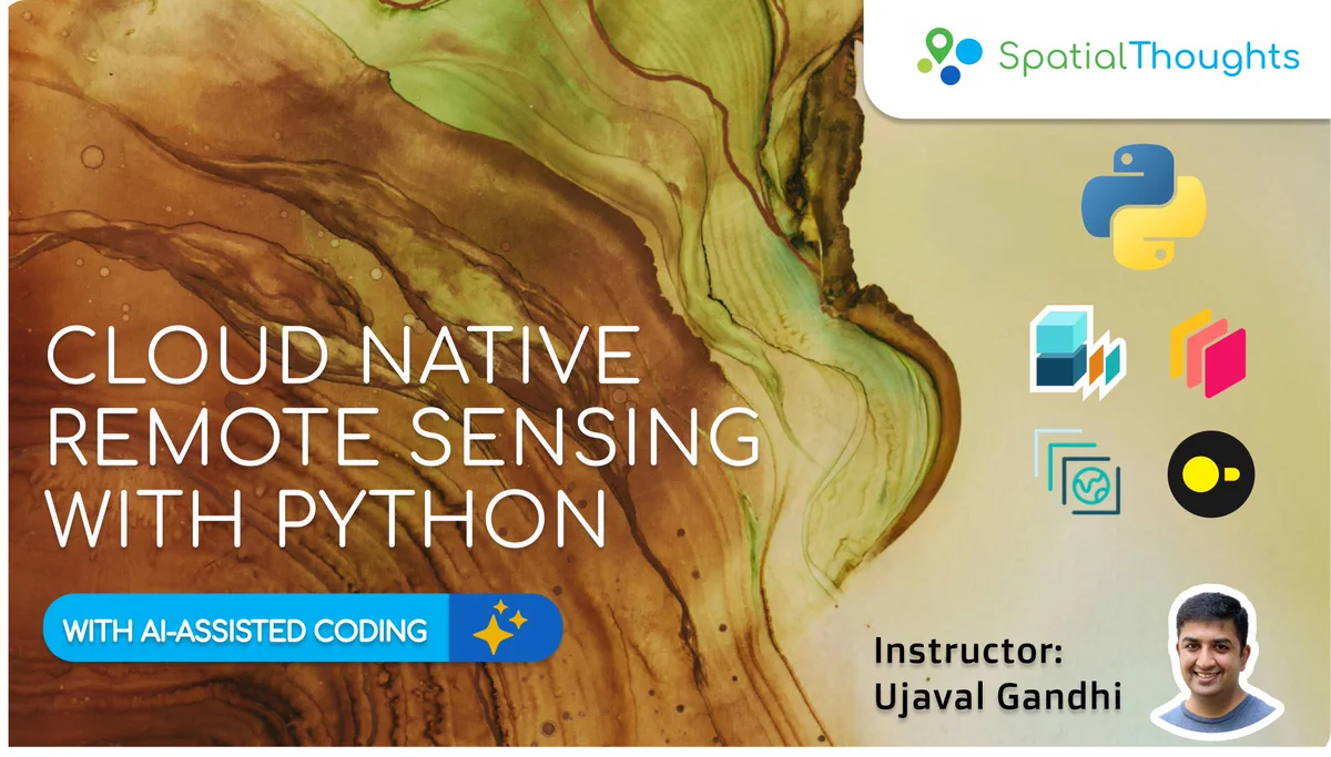
    I am happy to announce our new course "Cloud Native Remote Sensing with Python". It is a comprehensive guide for working with Earth Observation data using a completely open-source stack. More than a year in the making, we are glad to finally release it to the world. (1/n)
    Image
    1
  • @spatialthoughts
    Ujaval Gandhi
    @spatialthoughts
    Aug 29
    Launching a 30-day #PythonRemoteSensingChallenge to help you learn Cloud-Native Remote Sensing in a structured way. Spend 30-40 minutes every day watching a video and work on a coding exercise. Open to all and completely free. Get started at ➡️ spatialthoughts.com/2026/08/28/pyt…
    Image
    6
  • @spatialthoughts
    Ujaval Gandhi
    @spatialthoughts
    Aug 26
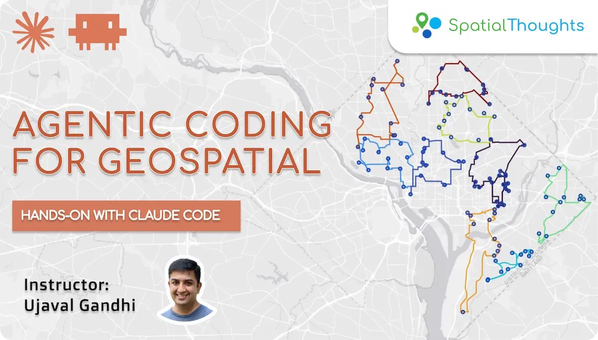
    One of the hardest things I did over the past few months was to build a course to teach agentic coding techniques for geospatial problems. After endless hours of testing, refining, and writing, the full course is now launched - free and open to everyone➡️courses.spatialthoughts.com/agentic-coding…
    Image
    11
  • @spatialthoughts
    Ujaval Gandhi
    @spatialthoughts
    Jul 22
    Last few seats remaining for our live instructor-led class for our newest course, "Cloud Native Remote Sensing with Python". Join a global cohort of peers to learn the modern open-source geospatial stack for Remote Sensing applications. Sign up at
    Image
    Cloud Native Remote Sensing with Python – August 2026 Cohort
    From spatialthoughts.com
  • @spatialthoughts
    Ujaval Gandhi
    @spatialthoughts
    Jun 17
    A web based GIS you didn’t know you wanted. Everything one could dream of - as a simple fast static web page. Unbelievable amount of work put in by @giswqs ! It’s already my preferred data viewer for daily workflows.
    @giswqs
    Qiusheng Wu
    @giswqs
    Jun 16
    GeoLibre v1.4.0 is here! GeoLibre is a free and open-source, lightweight, cloud-native GIS platform for visualizing, exploring, and analyzing geospatial data. It runs everywhere you do, in the web browser, on the desktop, on mobile, and inside Jupyter notebooks, all while
    Image
    00:00
    1
Advertisement
Advertisement