



Industries
Whether you're a surveyor or reality capture specialist seeking accuracy and efficiency, an architect, engineer, or construction professional wanting to verify built results against your plans, an owner or operator needing updated spatial information, or a factory planner looking for the next optimization move, NavVis technology is here to help.
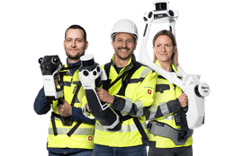
From small projects and confined spaces to large, complex environments, NavVis CLX, NavVis MLX and NavVis VLX 3 give teams flexible tools for dynamic laser scanning indoors and outdoors.
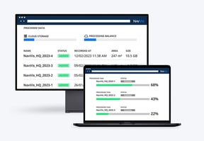
With NavVis IVION Processing, you can process, geo-register and automatically align scan data with survey-grade accuracy. Objects moving through the scan are automatically detected and removed during post-processing.
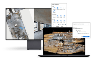
NavVis IVION transforms point clouds and panoramic images into intelligent spaces accessible from any standard web browser, speeding up model creation and delivery, and adding value to your data.
With NavVis IVION, achieve seamless integration and workflow compatibility. Gain access to a full range of downloadable data formats and the ability to export and import of points of interest with universally compatible file formats.
Our industry focus

- Construction documentation and verification
- Topographic Topographic surveying
- Heritage preservation
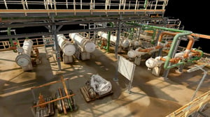
- Industrial facilities
- Existing buildings and building measurement surveys
- Infrastructure and transportation

- Residential & commercial building documentation
- Collaboration, visualization and site visits
- Site assessment
- Renovation planning
- Construction verification
- Bidding
- Preservation, monitoring & claim management
- Demolition planning

- Global manufacturing operations
- Equipment installation & relocation
- Layout & production line changes
- Best practice sharing
- Intuitive visual interface
- Regulatory verification
- Plant maintenance
- Planning and relocation
- Preparing audits
- Turnaround management
