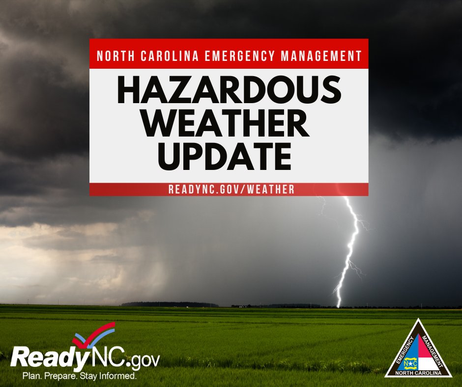
⛈️Tues Haz WX: Severe ts's (damaging winds/isolated tornado) possible for RDU/ENC (Level 2 Risk). Level 1 Risk RDU west to Triad. Flash flooding poss NE NC Tues.
📌Mon storms saw trees down (photo below) and power outages in 12 counties.
ReadyNC.Gov/weather
#ReadyNC
NC Emergency Management
19.2K posts
Helping North Carolinians prepare for, respond to & recover from disasters & emergencies. View our social media policy at ncdps.gov/social-media.
- Better safe than sorry! After the last rumble of thunder, wait at least 30 minutes before heading back outside. Lightning can strike from miles away, even when the sky looks clear. #ReadyNC #LightningSafety
- ⛈️ Haz WX Update ⛈️ ❗️Isolated/scattered severe storms capable of damaging wind gusts/large hail possible Mon afternoon- Tues morning. ❗️Flash flooding possible across WNC Mon, with haz heat across Piedmont and Coastal Plain. Full forecast: ReadyNC.Gov/weather #ReadyNC
00:00 - When thunder roars, go indoors! Lightning can strike from miles away, even if it isn't raining yet. If you can hear thunder, you are close enough to be struck. Don't wait, find a sturdy building or a hard-topped vehicle immediately. #ReadyNC #LightningSafety
- Happy Father's Day! To celebrate, we’ve got a dad joke for you! Why did the dad put a clock in his emergency kit? Because he wanted to make sure he had plenty of "time" to get ready for the storm. For tips on what to include in your kit, visit ReadyNC.gov. #ReadyNC
- 👍 Partnerships matter as our emergency management model is centered on the whole-of-community concept. Last week, Director Ray and SWIC Greg Hauser met with the UNC System to discuss partnerships, emergency management on campuses, and how our partnership can be strengthened.
- ❓❔❓ What should you get the Dad in your life for Father's Day? 🤌 We have the perfect gift idea! #ReadyNC
00:00 - ⚠️Haz WX Update ⚠️ ⛈️Isolated severe storms producing damaging wind gusts and a brief tornado are possible across east NC through Fri P.M. ⛈️Isolated flash flooding possible across east NC through Fri P.M. 📌Full forecast by visiting ReadyNC.Gov/Weather #ReadyNC
- ⚡️Mid-Day Haz WX Update⚡️ ⛈️Since this AM,- Level 2 Severe Threat has been expanded across piedmont and the CLT area of the state. 🌪️Risk for tornadoes expanded for much of central NC with the highest risk (5-9% which is brown in the graphic) around the CLT area. #ReadyNC
- 🎙️It's hurricane season 🍥 and yesterday, NCEM Meteorologist Claire Doyle sat down on the latest episode of NCEM Masters of Disaster to talk about new tropical weather forecasting products and this season's outlook. 👍Check it out! youtube.com/watch?v=vaO4ab… #ReadyNC
- Hazardous Weather 6.18.26 Isolated to scattered severe thunderstorms can produce damaging wind gusts &isolated tornadoes are possible Thursday afternoon into Friday. Flash flooding is possible across the state, especially WNC on Thursday where the heaviest rainfall is expected.Keep that weather radio nearby. List of radio stations, bit.ly/4aDSTY8 Stay hydrated and limit time outdoors if possible. Refrain any outdoor burning. Check with local authorities for any burn bans. Check beach conditions before heading out. bit.ly/4oykIa2
- Replying to @NCEmergencyTurn around don't drown! Do not drive through flooded waters! Check DriveNC.gov before heading out. Sign up for local alerts and stay tuned to local weather stations. List of county alerts, bit.ly/44Y7QP4
- Replying to @NCEmergencyA High Rip Current risk is also forecast for portions of the central NC coast. Safety tips: Secure outdoor furniture or objects that could get carried away with wind gusts. More tornado safety info, bit.ly/4xwFcUJ


