MapTiler
@MapTiler
🗺️ Maps for developers: Visual tools, global data, SDK & APIs for web, mobile, and enterprise applications.
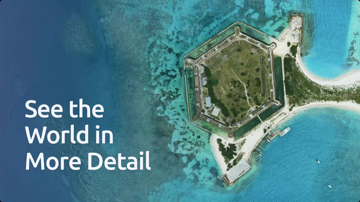
 Our visual georeferencer just got 3 major upgrades! Re-georeference: Edit the maps you’ve already georeferenced for 30 days Map Transformations: Non-distorting styles & fast 2-point alignment GCP Sidebar: View, edit, and jump to control points with a single click Find out more👇
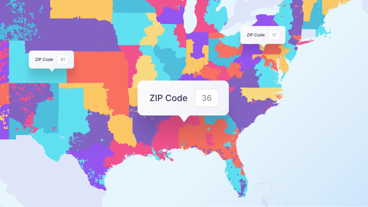
- Postal code nuances frequently cause data errors and #geocoding failures when building checkout flows, delivery zones, or spatial analytics across borders. See how global #postcodes work under the hood and how to structure spatial data for seamless geocoding. Link in thread 👇
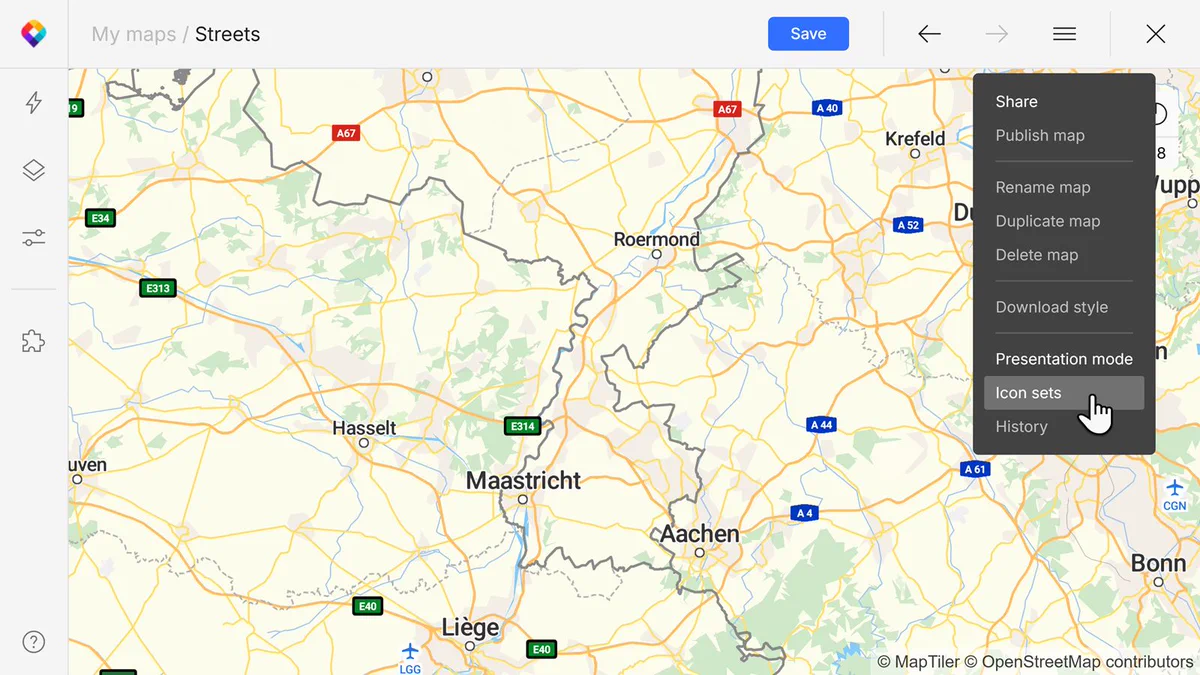
- MapTiler Icon Sets now live directly in your account so you can build a set to use across multiple maps, and keep them in sync. #WebMapping #MapDesign #Cartography Read the docs, the link is in the 1st reply 👇