Our visual georeferencer just got 3 major upgrades!
Re-georeference: Edit the maps you’ve already georeferenced for 30 days
Map Transformations: Non-distorting styles & fast 2-point alignment
GCP Sidebar: View, edit, and jump to control points with a single click
Find out more👇
🗺️ Maps for developers: Visual tools, global data, SDK & APIs for web, mobile, and enterprise applications.
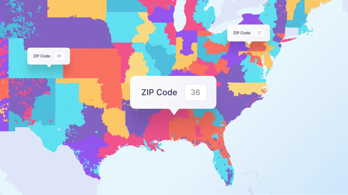
- Postal code nuances frequently cause data errors and #geocoding failures when building checkout flows, delivery zones, or spatial analytics across borders. See how global #postcodes work under the hood and how to structure spatial data for seamless geocoding. Link in thread 👇
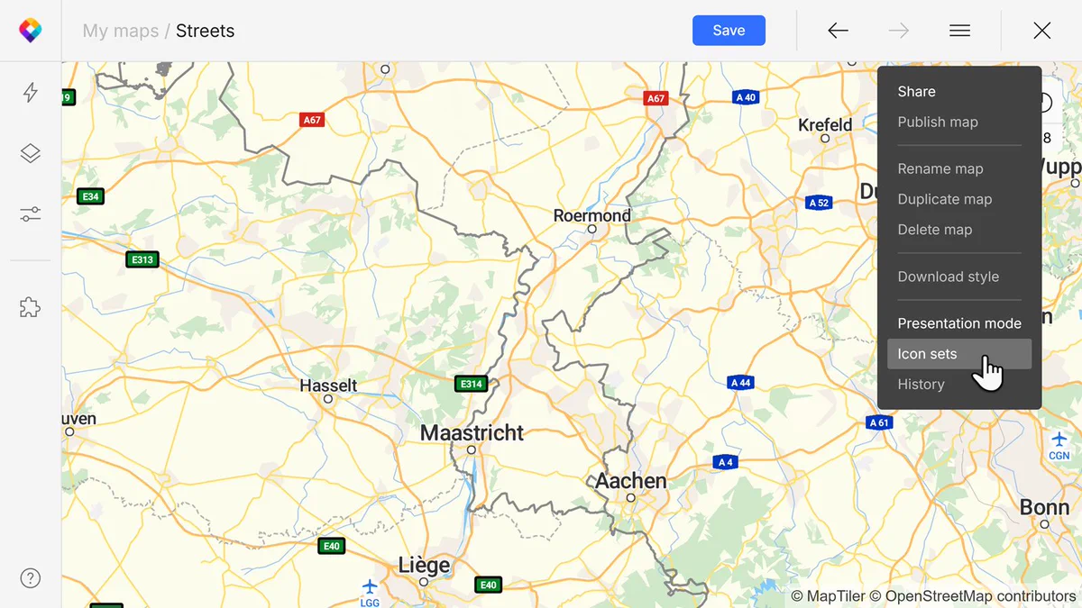
- MapTiler Icon Sets now live directly in your account so you can build a set to use across multiple maps, and keep them in sync. #WebMapping #MapDesign #Cartography Read the docs, the link is in the 1st reply 👇
- 🗺️ Are you passionate about maps, geodata, and building services that people rely on every day? Join us and shape the technology behind geocoding, routing, search, and elevation services used around the world! Sounds exciting? We'd love to hear from you 👉 maptiler.link/3MRENdh