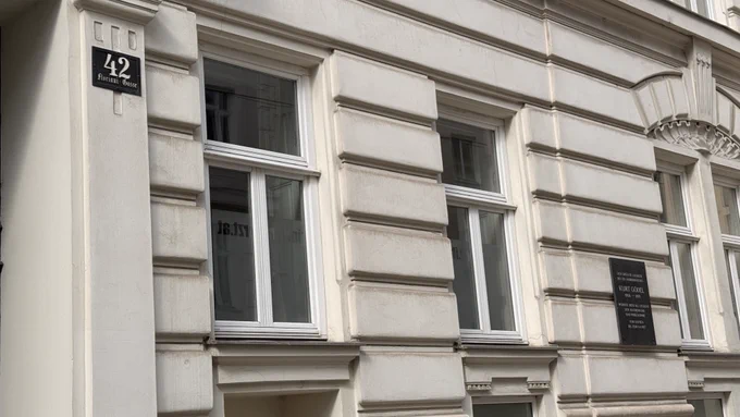
I named my company after Kurt Gödel. Last month I walked to the three Vienna homes where he lived as a student: Florianigasse 42, Frankgasse 10, Lange Gasse 72.
Three agents on our node: one perceives, one triages, one decides what is worth the downlink.
Next: satellites that tip and cue each other.
Video: 5V Media.
godel.space
Data out, not screenshots. Every run returns GeoJSON polygons and a Cloud-Optimized GeoTIFF on the scene's own grid, straight into your map. @VikashKodatix.com/VikashKodati/s…
Your GIS should not need a screenshot.
Every analysis returns GeoJSON polygons and a Cloud-Optimized GeoTIFF on the scene's own grid. Below: live-run burn polygons, straight onto a map.
Some things stay unexposed on purpose.
try.godel.space/build
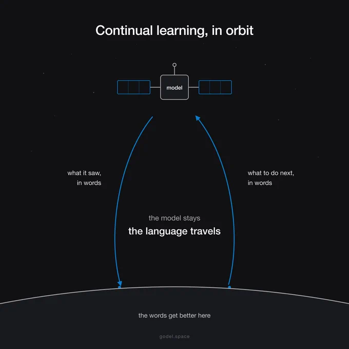
A satellite is frozen the day it launches. It flies for years answering the question it was taught before it left.
Continual learning is the way past that. The idea came from @bag_of_ideas: language, not weights, as the tool on board.
Building the satellite version.
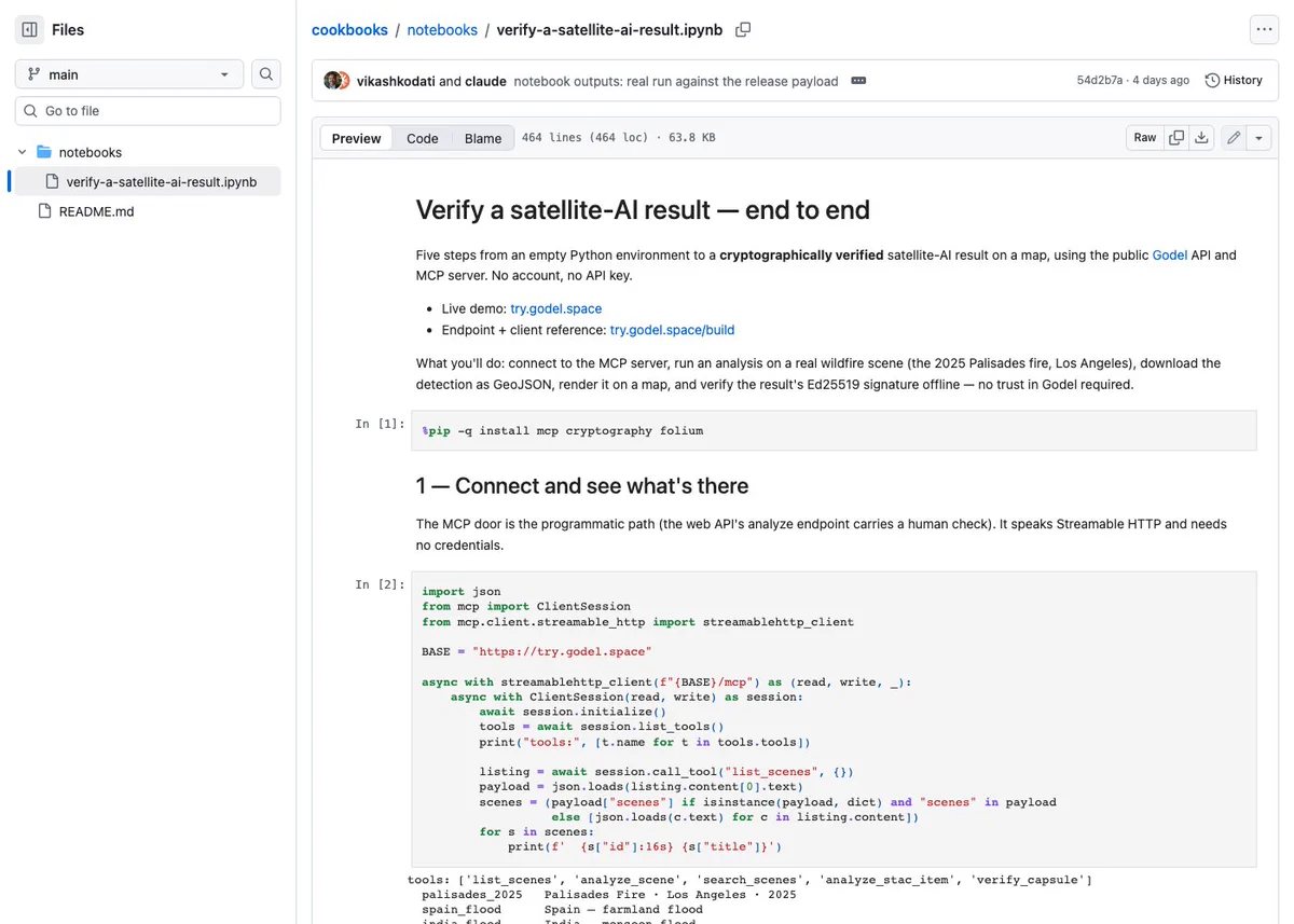
Five cells from an empty Python environment to a verified satellite-AI result on a map.
Connect over MCP, analyze, download GeoJSON, render, verify the signature. Every cell ran against the live service.
Notebook: github.com/godel-space/co…