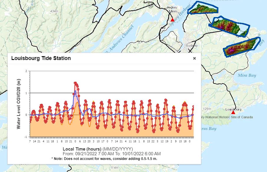
NSCC's Maritime Coastal Flood Risk Map can create charts detailing when storm surges are likely to pile up on top of high tides to create the greatest risk of flooding in your part of the province. Check it out here -- agrgims.cogs.nscc.ca/CoastalFloodin…
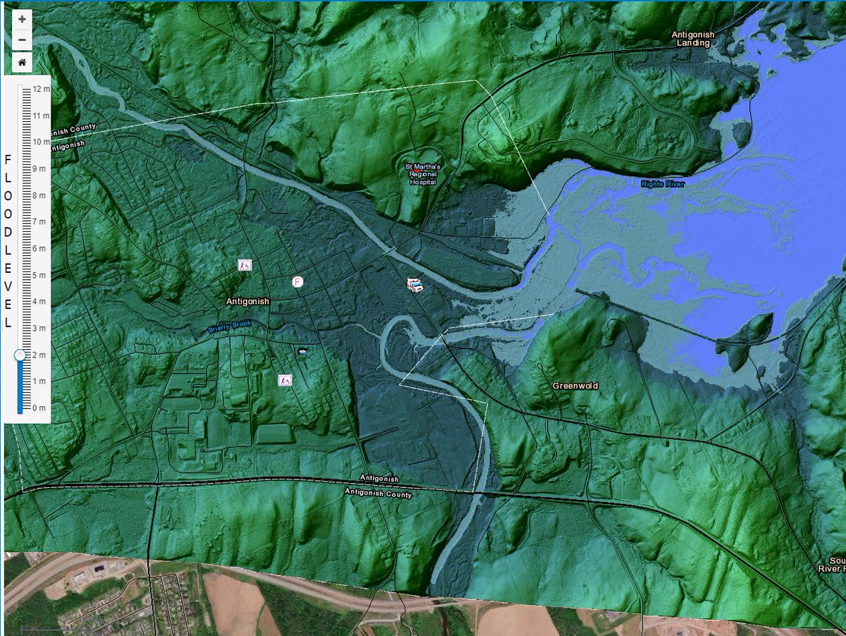
This is the Maritime Coastal Flood Risk Map Jeff will be talking about with Tim Webster from NSCC right after the four o'clock news. agrgims.cogs.nscc.ca/CoastalFloodin… And this is what Antigonish would look like with 2m of flooding.
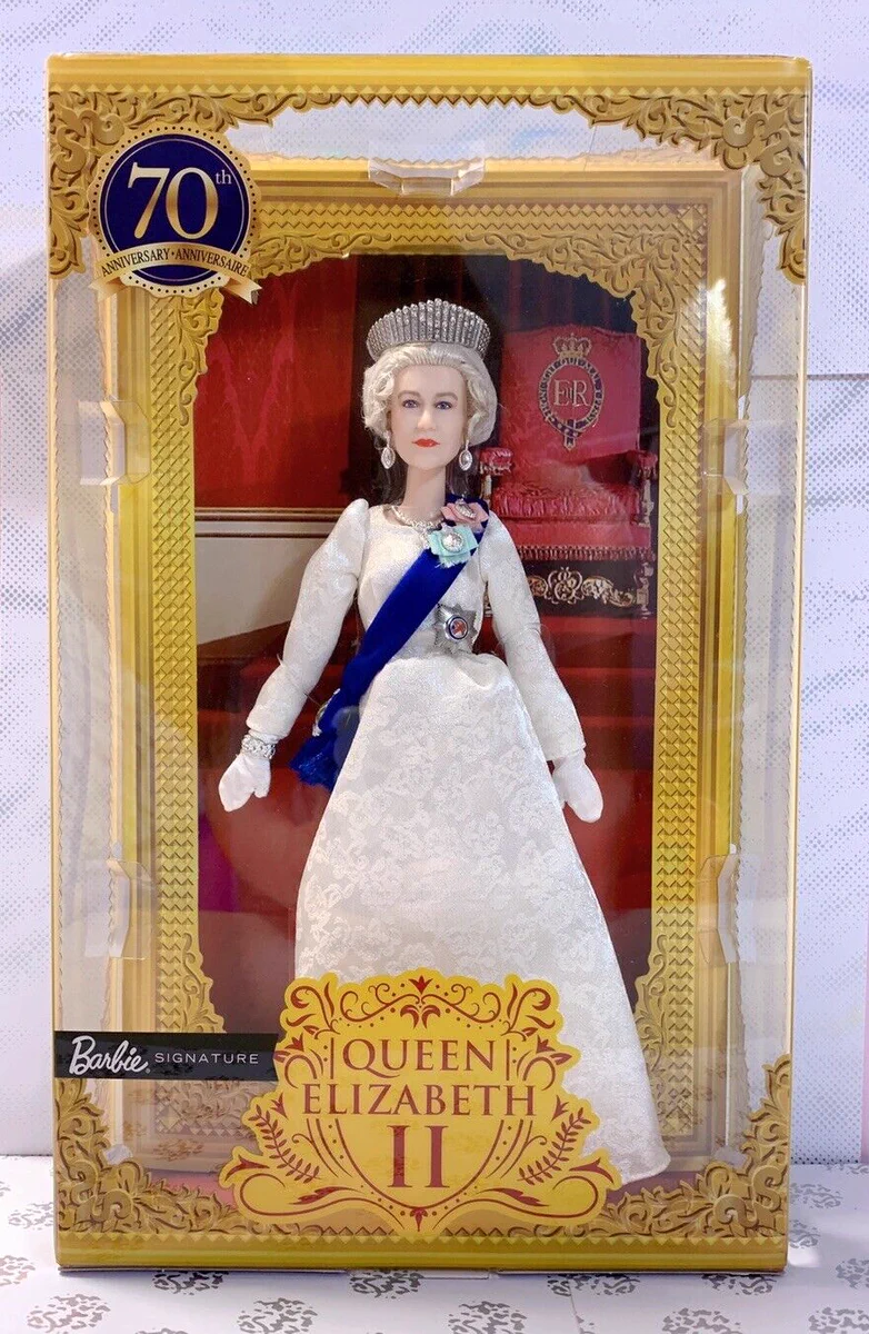
The late Queen Elizabeth II collected stamps, and some of her admirers collected these... Thanks to Mariam Mesbah for that conversation about QEII collectables.