

Ozone pollution possible again Friday, rain chance increase late next week
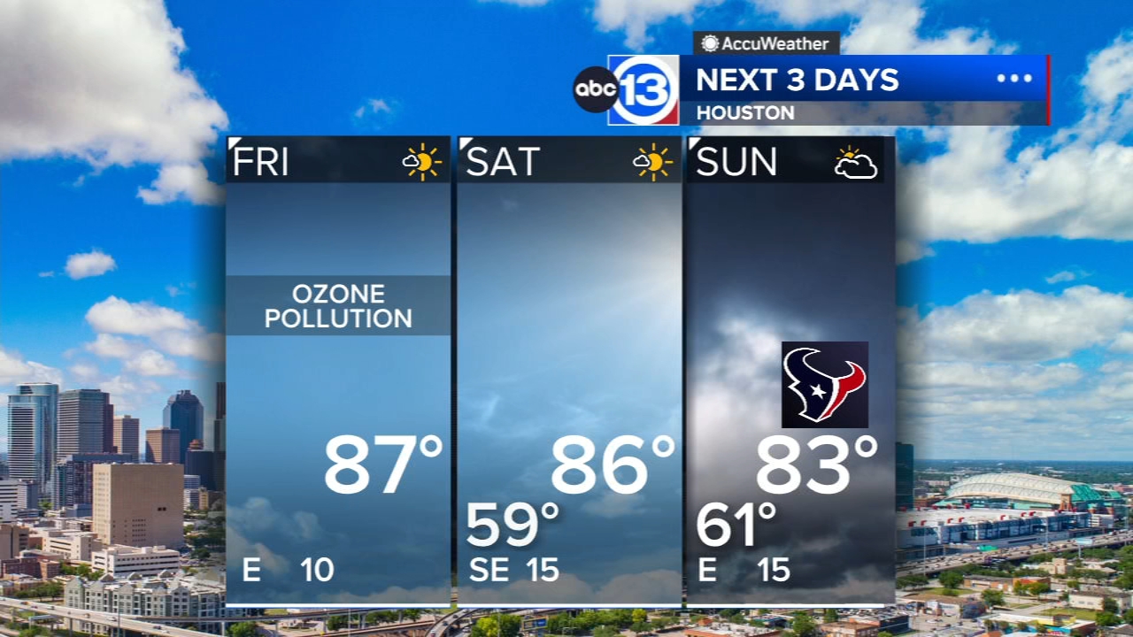

HOUSTON, Texas (KTRK) -- Our beautiful "drought-building" weather continues through the weekend, but we are seeing signs that a stormier weather pattern will develop late next week.
Meanwhile, Friday should be another sun-filled day with a cool morning low in the mid 50s and a warm daytime high in the mid 80s. Ragweed pollen levels remain high, and we could also see some pockets of unhealthy ozone levels popping up during the afternoon. Ozone forms on warm, sunny days with light winds, the exact conditions we'll have Friday.
How many more cool mornings do we have left?
The morning temperatures stay seasonal in the upper 50s and low 60s through Tuesday of next week.. After that, moisture levels will rise significantly, bringing back muggy mornings with lows near 70. This moisture increase also sets the stage for our rise in storm chances.
How stormy does it look for Halloween?
It's too soon to say exactly how the weather will unfold on Halloween, but we are sniffing out a stormier weather pattern developing toward the end of next week. At a minimum, we should prepare for a warm, humid day with a chance of thunderstorms. There are some indications this stormy weather pattern could linger all the way to Election Day on November 3, so keep that in mind while early voting is still open.
What are you tracking in the tropics?
Josephine has dissipated, meanwhile the East Pacific has Vance that could eventually send some moisture toward Texas late next week. For a more in-depth discussion on what's happening in the tropics, visit our Daily Tropical Update page.

13 ALERT RADAR MAPS:
Southeast Texas
Houston
Harris County
Galveston County
Montgomery/Walker/San Jacinto/Polk/Grimes Counties
Fort Bend/Wharton/Colorado Counties
Brazoria/Matagorda Counties
Have weather tips, videos, and photos?
Send it to ABC13 using the form below. If you have a video or photo to send, terms of use apply. If you don't, just hit 'skip upload' and send the details.
