1. X
  2. LayerDrone
Log inSign up
LayerDrone
1,010 posts
Image
user avatar
LayerDrone
@LayerDrone
The Autonomous Aerial Data Network. Created by @SpexiGeospatial 🏘️ discord.com/invite/zgAsx9g…
Earth
layerdrone.org
Joined April 2025
138
Following
45.1K
Followers
RepliesRepliesArticlesArticlesMediaMedia
Terms·Privacy·Cookies·Accessibility·Ads Info·© 2026 X Corp.
Don't miss what's happening
People on X are the first to know.
Log inSign up

New to X?

Sign up now to get your own personalized timeline!

Create account

By signing up, you agree to the Terms of Service and Privacy Policy, including Cookie Use.

  • Pinned
    user avatar
    LayerDrone
    @LayerDrone
    Dec 19, 2025
    1/ In 2025, we introduced the world to LayerDrone: Earth’s first autonomous aerial data network. Now, the largest standardized drone imagery network on the planet. Let's rewind to see what we accomplished 👇
    Image
    00:00
    80K
  • user avatar
    LayerDrone
    @LayerDrone
    Jul 21
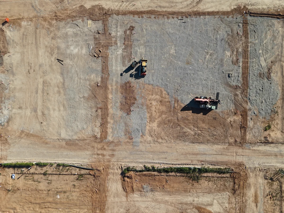
    New subdivision in Peterborough. Construction site in Calgary. Solar array in San Francisco. LayerDrone pilots mapped all of it. Every flight adds to the network. Every acre means more data for GIS teams that need it. The network is growing. The data matters. @SpexiGeospatial
    Image
    2.2K
  • user avatar
    LayerDrone
    @LayerDrone
    Jul 15
    Two days ago, Esri put @SpexiGeospatial on the UC Plenary stage in front of thousands of GIS professionals. Today the Spexi team is on the floor at Esri UC booth 332 showing what that looks like in practice. The imagery you've been capturing is now part of one of the biggest
    Image
    00:00
    1.5K
  • user avatar
    LayerDrone
    @LayerDrone
    Jul 14
    Esri UC. 17,000+ GIS professionals. And Spexi -- powered by you -- on stage. Every acre the LayerDrone network has mapped is part of what made this moment possible. The network is growing. The data matters. Keep flying. @SpexiGeospatial #EsriUC
    Image
    1.4K
  • user avatar
    LayerDrone
    @LayerDrone
    Jul 7
    10,000+ pilots. 6M+ acres. And now, the Esri UC. The imagery LayerDrone pilots capture is making it to the biggest GIS conference in the world. Next week at #EsriUC, the community hears about Spexi in the Content Store for ArcGIS. The network you're building matters. Keep
    Image
    1.4K
Advertisement
Advertisement