Devpost
Participate in our public hackathons
Devpost for Teams
Access your company's private hackathons
Grow your developer ecosystem and promote your platform
Drive innovation, collaboration, and retention within your organization
By use case
Blog
Insights into hackathon planning and participation
Customer stories
Inspiration from peers and other industry leaders
Planning guides
Best practices for planning online and in-person hackathons
Webinars & events
Upcoming events and on-demand recordings
Help desk
Common questions and support documentation
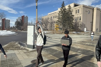
Have you ever wondered how google maps guides you to your destination? Well look no more, because our program displays data directly from a satellite receiver that tracks your location along a path.
Replay transforms raw GNSS data into interactive and easy visualizations. It moves beyond static reports to provide a seamless and interactive way to analyze geospatial data.
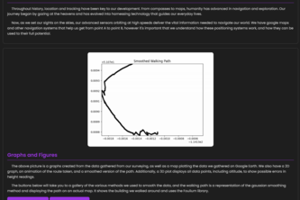
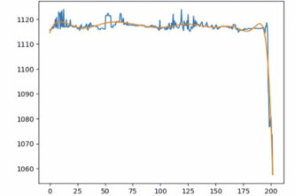
**TerraHex** analyzes GPS data, applies smoothing techniques, and visualizes paths via 2D, 3D, and animated plots. It identifies navigation errors and maps routes using real-world survey data
Website mini-game using the data collected from a GNSS receiver.
Do you need a 3d visualization of the path you are taking?We got you covered.
We created GPS routing system that can take data from the receiver and presents it in a minimalistic, interactive, accessible, amazing, beautiful manner via python. (Hopefully)
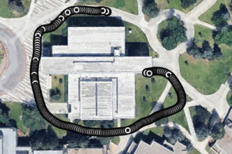
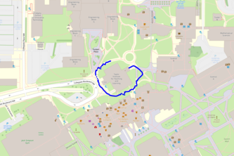
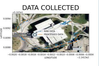
Our app automatically collects data to plot out a visual reference of the path taken overlayed on a google maps reference. Its interactive features allow for the precise position taken each second.
Mapping movement with color-coded insights.
MapSnap takes in, processes, and displays kinematic data into a easy to understand visual format.
1 – 9 of 9